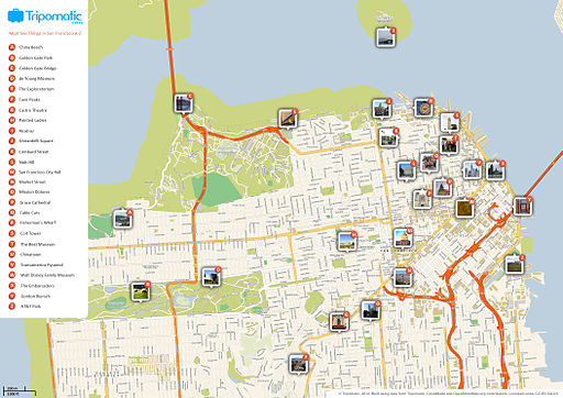
“I live in the country of California.” I heard this statement from one of my third graders after a geography study and disappointedly, it wasn’t a true/false game. Learning geography and its terminology may be abstract for a young student who hasn’t traveled further than his neighborhood block. Reading maps can also be complicated. Having students produce a local map is a good introduction to understanding their place in the world. For starters, hand-drawing maps can represent a student’s concrete understanding of location and relationship to place. Now with Google Maps and other online digital mapping software making its way as a teaching tool, digital maps can be created easily, collaboratively and allow students to continuously upload new data. What makes a map? Maps can be about anything and are often focused on a particular collection of data identifying points of interest – a map of states, countries, best restaurants, schools in a district, or bike trails.
Mapping the Oddities in Life
Try mapping sights, sounds, and smells. Yes, smells! Sensory maps are a hot trend with maps identifying the smelliest places in New York or maps identifying sounds in London. Students can start mapping things they see, hear, smell around their schoolyard and en route back home. Mark the smelliest or most fragrant places around your school. How would you describe these smells? Record sounds in your neighborhood at a certain time each day and map the data. Do the sounds change? What does one neighborhood sound like compared to others? All of these answers can be documented on a digitally shared map where students upload their data and have access to adding more places and new information.
There’s a Map for That : Other Ideas to Map
