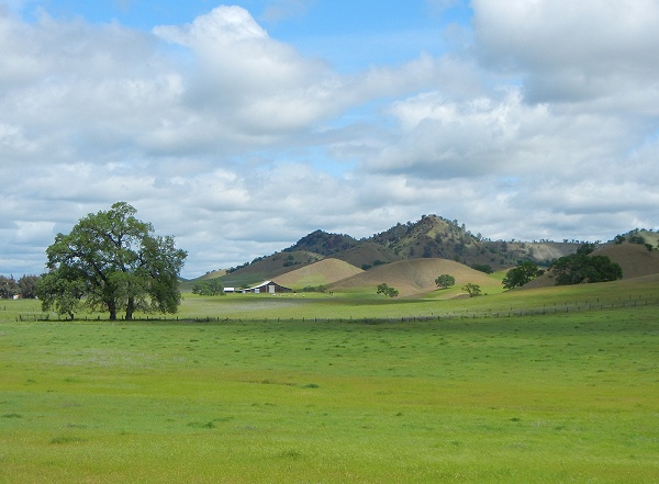
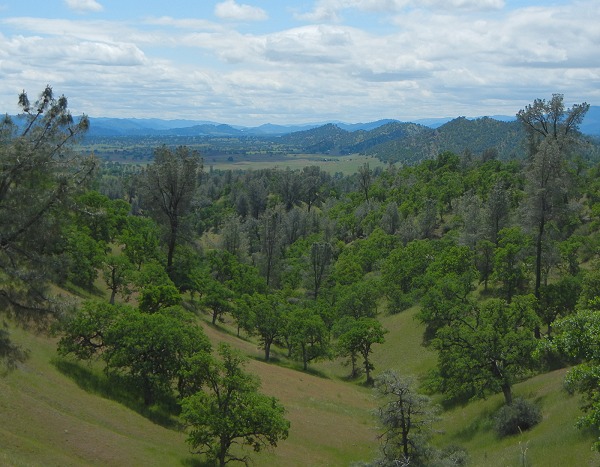
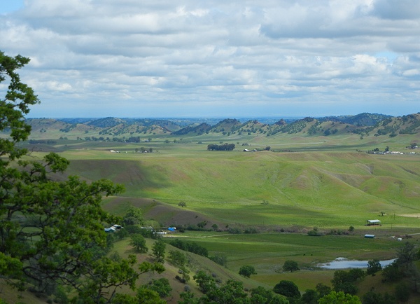
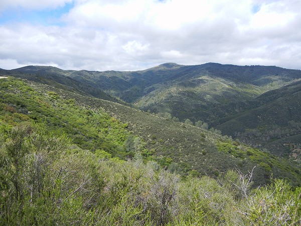
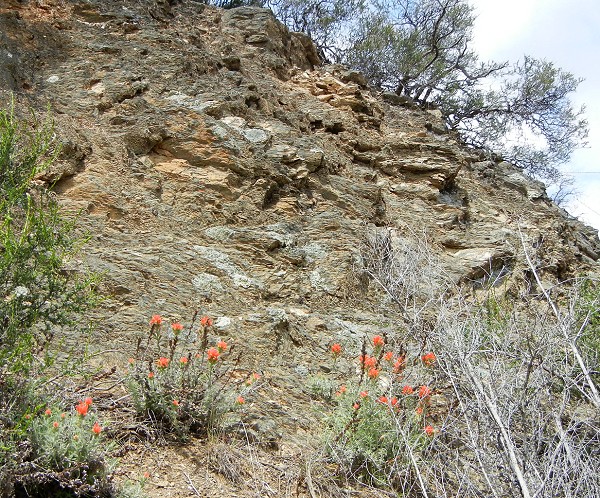
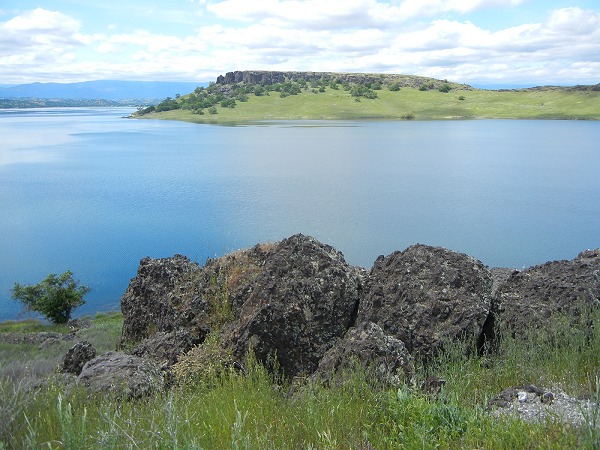
Anyone looking at the Sacramento Valley in a satellite view surely wonders about the eastern edge of the Coast Range, a belt of striking corrugated terrain running up the west side from the Bay Area almost all the way to Redding. I'm here to tell you that it's extremely picturesque country. Geologically, it consists of the thick, tilted-up Great Valley Sequence of sedimentary rocks and the older, underlying Franciscan Complex metamorphic rocks farther west.
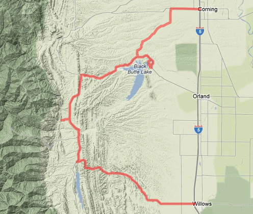
As you go north on I-5 you pass four towns that I think of as the four W's: Winters, Woodland, Williams and Willows. Today's sample of this district is a loop into the corrugated country starting at Willows and ending back at I-5 in Orland or Corning; take your choice. Here's the route (created on gmap-pedometer.com):
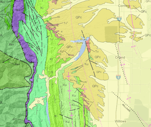
And here's the geology en route (created from the interactive state geologic map):
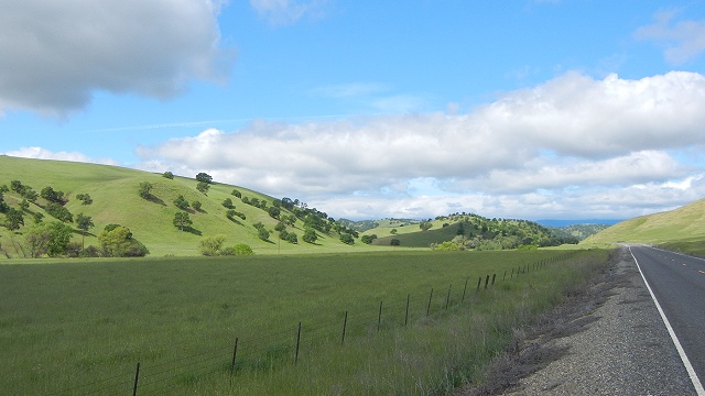
State route 162 leads west from Willows into the series of ridges formed by the uptilted Great Valley Sequence rocks. These are the same formations, of the same age, that I showed you north of Fairfield.
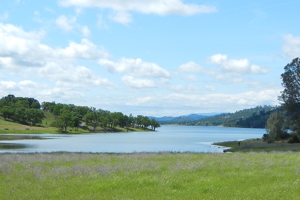
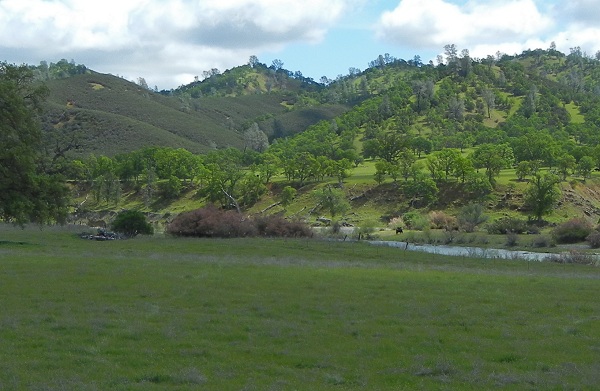
Beyond a series of these ridges is a long valley underlain by fine-grained Jurassic rocks, the oldest part of the Great Valley Sequence. The valley is punctuated by hogback ridges that affect the course of the roads. Parts of the valley have been turned into reservoirs, like Stony Gorge Reservoir.

