
If it's a fine day and you have a couple of hours to spare on your drive north, why not see one of the curiosities of California and take a spin around the Sutter Buttes, also known as the world's smallest mountain range.
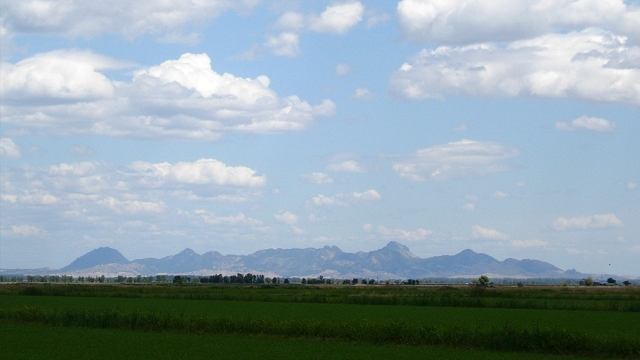
The Buttes are a compact clump of rocky crags placed smack in the middle of the flat Sacramento Valley. If you know where to look on a clear day, you can first spot them from I-505 as you drive north just north of Winters, some 40 miles off. They're like a mirage, glimpsed through the distant trees and silos, that soon vanishes as an imperceptible rise cuts them off. Otherwise their first appearance is a vision dead ahead as you exit the rounded, dreamlike Dunnigan Hills just before joining I-5. On many hazy days you may catch the barest outline of the Buttes' fairytale-steep peaks and wonder if you're seeing anything at all.
The Sutter Buttes are the remains of a young volcanic center that flourished here between about 1.5 and 1.3 million years ago, during the Pleistocene Epoch. On the geologic map below (derived from the California Geological Survey's interactive state geologic map) its bulls-eye shape is distinct.

A central set of lava plugs and domes (Qv) is surrounded by an apron of volcanic flows of lava and debris (Qvp). After the eruptions stopped, erosion uncovered the older sedimentary rocks (E and Ku) that were folded upward by the rising magma. These folded older rocks are prime sites for natural gas wells. In the 1920s the volcanologist Howel Williams, a native of Wales, gave names to these parts that were inspired by Medieval castles: Qv is the Castellated Core, Qvp is the Rampart and the soft old rocks between make up the Moat. See more detail of the geologic story, plus a look at the Buttes' interior, over on my About.com site. But this is enough background for today's side trip.
Your closest approach to the Buttes on I-5 is at Williams, and that's where you set out for this enchanting feature. Turn off the freeway and head east on state route 20. The road crosses the Central Valley at one of its flattest points. The little town of Colusa sits on the Sacramento River and has a nice park there. This is a worthy side trip—maybe a picnic stop—in itself.


