PG&E told a federal judge Monday it has no knowledge of a drone flight that interfered with firefighters last month during the very first hours of the Dixie Fire, a blaze that has become the largest single-origin wildfire in modern California history.
The FBI, Federal Aviation Administration and local prosecutors all are investigating who was flying the drone, which a Cal Fire air attack pilot spotted early the evening of July 13 as tankers and a water-dropping helicopter were working to extinguish the fire.
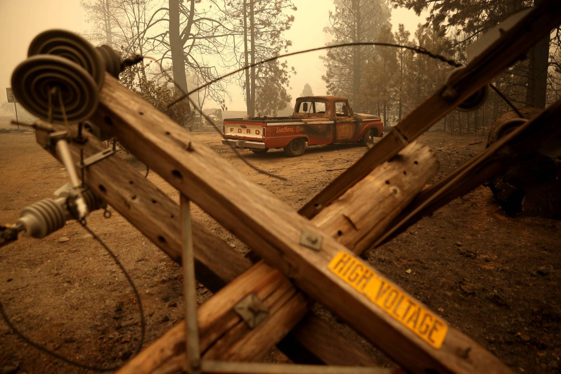
The blaze started July 13 when a tree fell across PG&E power lines adjacent to one of the company’s hydropower dams on the Feather River.
Those circumstances prompted U.S. District Judge William Alsup, who is overseeing PG&E’s five-year term of probation for a criminal conviction arising from the 2010 San Bruno natural gas pipeline disaster, to order the company to tell him what it knows about the drone flight.
In its reply on Monday, PG&E said it knows nothing about the drone — who was flying it or what the flight’s purpose was.
“PG&E has not identified any individual or company who flew a drone near the Dixie Fire on the evening of July 13, 2021,” the company filing said. “PG&E has seen no indication that any PG&E employee or contractor was instructed or asked to — or did — fly a drone” near the fire on the date it started.
According to Cal Fire updates in the fire’s early hours, the blaze had burned an acre or two at the time an agency pilot saw the drone and called off aerial firefighting about 45 minutes before they would have had to return to their bases because of darkness. With ground crews experiencing difficulty getting to the remote site of the fire in the Feather River Canyon, the blaze expanded to 1,200 acres by the next morning.
Five weeks later, the conflagration has consumed about 604,000 acres of northern Sierra forest as of Tuesday and destroyed nearly 1,200 structures, including 600 homes. The incident continues to pose a serious threat to communities in Plumas and Lassen counties.
Authorities continued to issue new evacuation orders and warnings on Monday. The Lassen County Sheriff’s Office issued a warning — an advisory that residents should make preparations to leave — for part of Susanville, a town of 15,000.