Updated Thursday, Nov. 7, 7:50 a.m.
The Kincade Fire began just before 9:30 p.m. on Wednesday, Oct. 23, north of Healdsburg, forcing the evacuation of more than 180,000 Sonoma County residents.
The map below, produced by several Sonoma County agencies, shows hot spots indicating where the fire is currently burning. It also highlights the evacuation zones and current road closures. The information on the map is continuously updated.
This post will be updated when new information is made available. Here’s the latest:
Acreage and containment: The fire has consumed 77,758 acres and is 100% contained, according to Cal Fire.
Casualties: There are no reported missing persons or fatalities from the fire. Four first responders have been treated for non-life threatening injuries, according to Cal Fire.
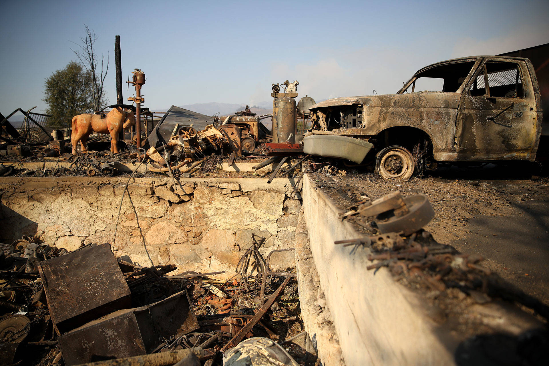
Damage update: At least 374 structures have been destroyed, including at least 174 residential buildings, according to Cal Fire. An additional 60 structures have been damaged.
Evacuation Warnings: All evacuations have been lifted at this time. However, the county public health order is still in place, which notes there are hazardous conditions and caution should be taken on re-entering burned areas and structures.

Road closures: The most up-to-date road closures are shown on the map above.
School closures:
Refer to the Sonoma County Office of Education site for the list of school closures.
Emergency shelters: All shelters are now closed.