Sponsor MessageBecome a KQED sponsor
upper waypoint

Cool for the Summer: Bay Area Sweater Weather Could Linger Into August

Save ArticleSave Article
Failed to save article

Please try again

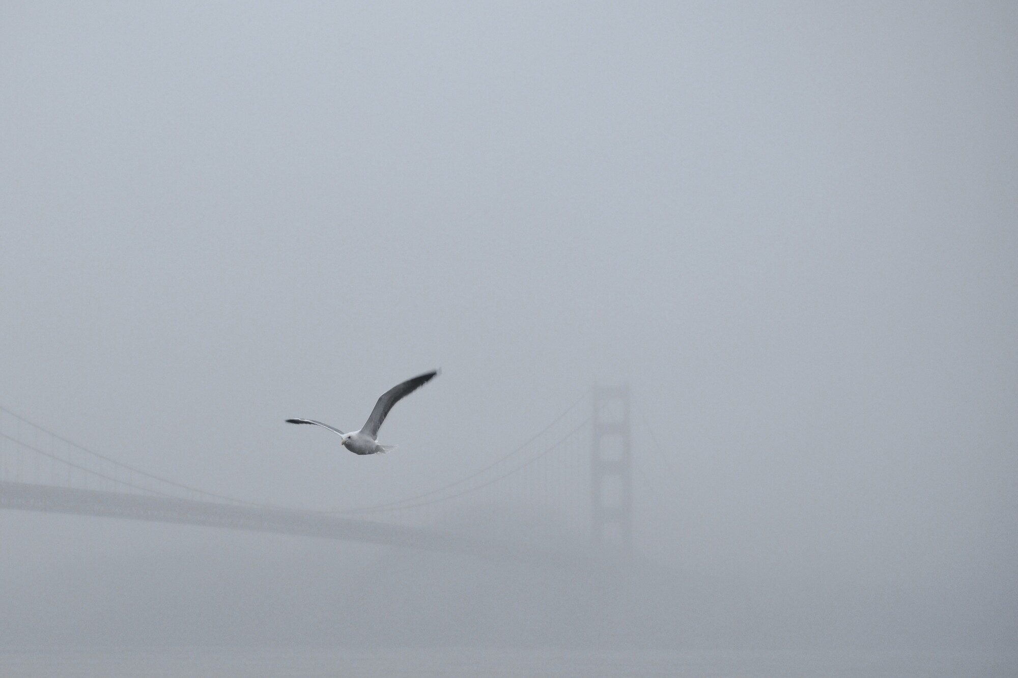
The Golden Gate Bridge, connecting Marin County with San Francisco County. The Bay Area’s unusually cool summer is expected to linger into August, making July 2025 one of the coldest in nearly 30 years.  (Lauren Hanussak/KQED)

There’s a big question on many Bay Area residents’ minds: When will the summer gloom end?

While forecasters expect a small warm-up next week, they say the majority of the region is in for at least a few more weeks of cool temperatures.

“We’re not seeing any strong signal of warming,” said Rick Canepa, a meteorologist with the National Weather Service’s Bay Area office.

So far this summer, average temperatures in the region have been the coolest since 1999, according to Canepa.

Sponsored

And, “July 2025 may end up in the coldest 10% of Julys on record,” Bay Area National Weather Service meteorologists wrote in their daily forecast discussion. They add the odds favor a warm-up late in August or September.

But why are this summer’s temperatures so chilly?

Forecasters attribute the greyscale shrouding the Bay Area to the sprawling marine layer created by a low-pressure system delivering cool air from the Pacific Ocean inland, and the lack of a persistent high-pressure system pushing against it from the East. This combination results in cooler temperatures.

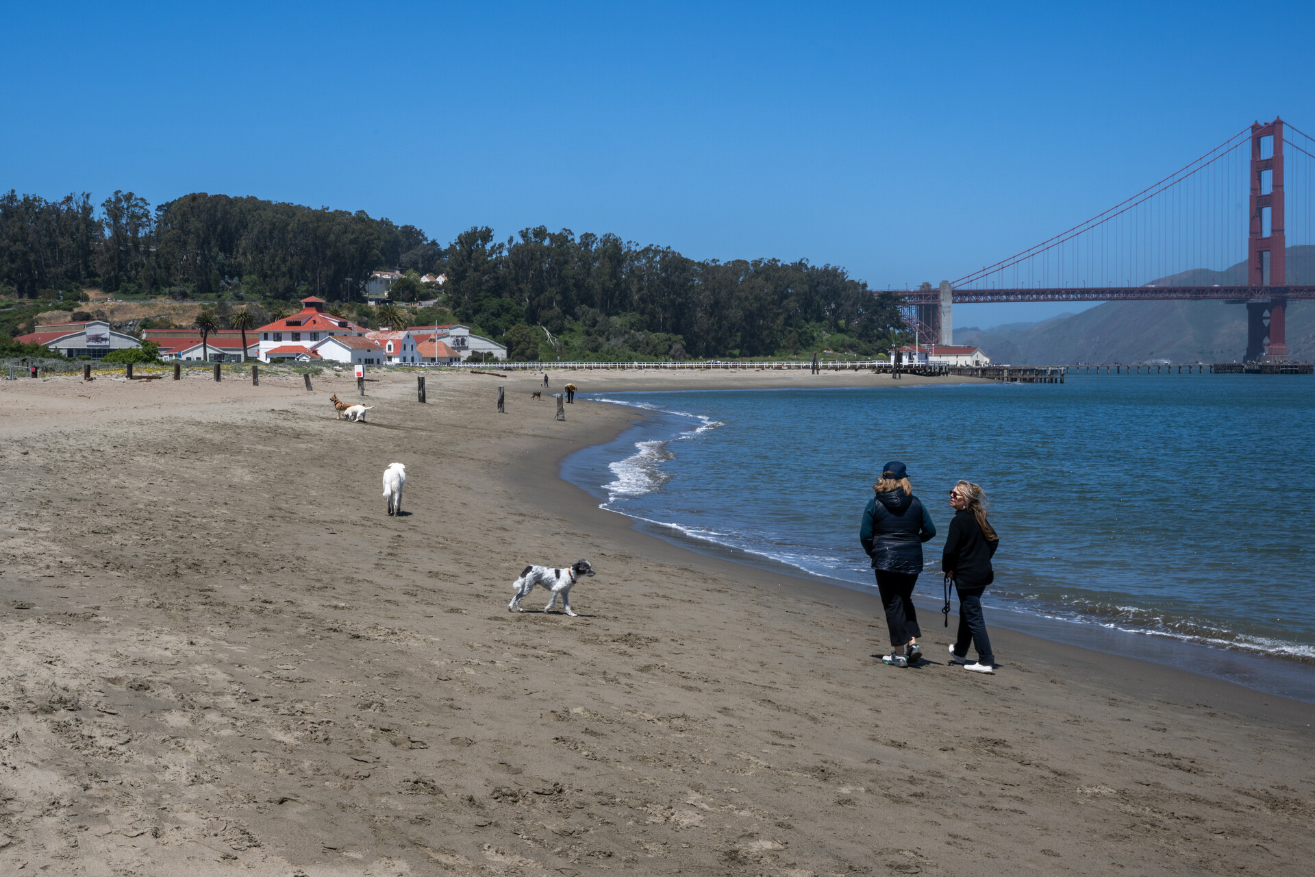
People bundled up in sweaters walk their dogs on Golden Gate Beach near Crissy Field in San Francisco on May 31. (Beth LaBerge/KQED)

The opposite occurred last summer when a high-pressure system forced the marine layer to retreat, resulting in triple-digit heat inland and elevated temperatures along the coast.

While most of the country roasts under a high-pressure system, Canepa said it hasn’t “wobbled to the West quite yet, and really there’s no indication of that happening any time soon.”

“It’s early enough yet that in August things could shift, and cause the West to warm up more substantially, but we’ll have to just wait and see,” Canepa said.

Weather models suggest that the ridge of high pressure pushing against low pressure along the coast “will become (unseasonably) intense over” California in early August, wrote Daniel Swain, a UC Agriculture and Natural Resources climate scientist, in a recent blog post.

Swain expects this pattern to “emerge later this summer and bring much more widespread anomalous heat to California.” He notes this change has already taken place across “the Great Basin and the Western interior, but coastal California keeps missing these heatwaves.”

For now, Jan Null, a meteorologist who founded Golden Gate Weather Service, said he doesn’t expect the marine layer to break fully within the next 10 days.

“That’s gonna take us into the first week of August, and after that, the models are really sending mixed messages — nothing that I would bet money on,” Null said.

Next week, forecasters expect temperatures to slightly warm up in inland parts of the Bay Area. Livermore, Concord and Santa Rosa could reach the low 90s. Then, a cooling trend returns late in the week.

“I wouldn’t expect any kind of heat wave anytime soon,” said Roger Gass, a meteorologist with the National Weather Service’s Bay Area office. “We’re seeing this pattern really stick in place as the rest of the country bakes.”

This summer cooling isn’t all gloom and sweater weather. It has had a positive effect on slightly lowering wildfire risk, Gass said.

“The general trend as we head into August and October is that we’re going to continue to see the risk, and that will potentially increase as we head into the fall,” Gass said.
lower waypoint
next waypoint