Sponsored
upper waypoint

Why Is the Bay Area So Chilly Compared to Inland California? Blame ‘Karl’

Save ArticleSave Article
Failed to save article

Please try again

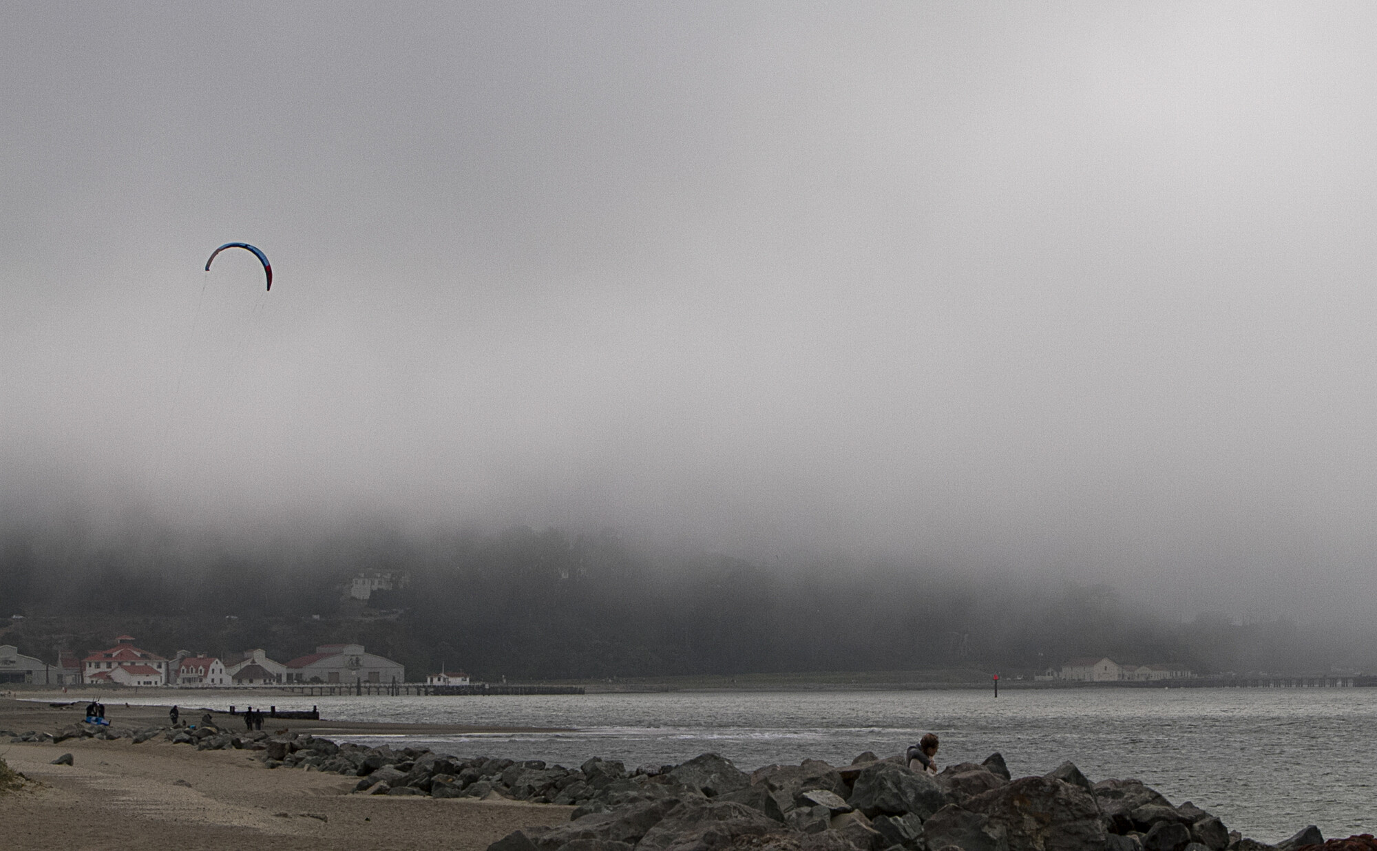
Fog settles over Crissy Field in the Marina neighborhood of San Francisco on July 13, 2018. An extra deep marine layer is keeping the Bay Area cool while inland California swelters, showing off the state’s dramatic microclimates. (Anne Wernikoff/KQED)

Just one look at a heat map of California reveals a stark divide heading into the start of summer: along the coast and in the Bay Area, mostly cooler temperatures, and in inland areas, near triple-digit heat.

This difference has lit up climate scientist Daniel Swain’s email inbox with messages from people claiming “meteorologists are lying” about the warm weather across the state, he said.

But the disparity people are noticing comes down to “California’s dramatic microclimates” and the fact that weather in your city “can be quite unrepresentative of conditions elsewhere,” wrote Swain, a UC Agriculture and Natural Resources and UCLA climate scientist, in a post on Threads. While temperatures in places like Sacramento are already warm, meteorologists told KQED that the weather in the Bay Area over the last month or so is quite typical for this time of year, and it’ll only be a matter of weeks before temperatures begin to spike.

Sponsored

This difference in temperature between the Bay Area and inland California stems from the marine layer, which coastal Californians are accustomed to seeing ebb and flow daily.

“Right now the marine layer’s deep and it’s keeping things on the cooler side,” said Brian Garcia, warning coordination meteorologist with the National Weather Service’s Bay Area office. “This highlights how lucky we are to live in paradise. We have a great temperature range right along the coast and in areas influenced by the marine layer.”

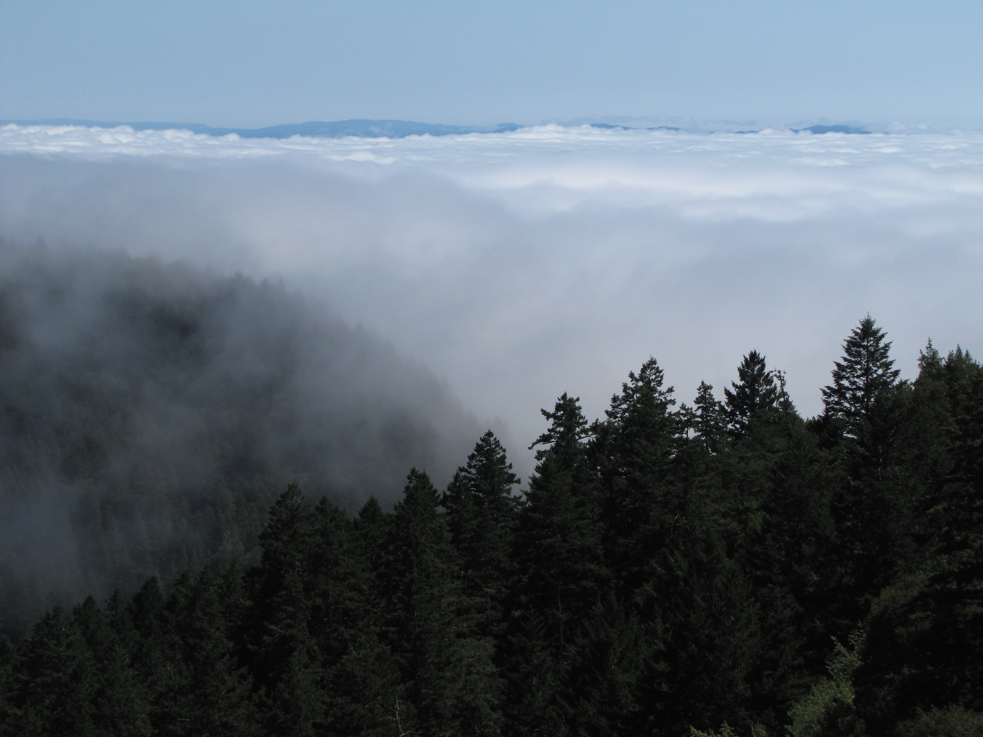
Fog encroaching on the Bay Area, as seen from Mt. Tamalpais in Marin County.
Fog encroaching on the Bay Area, as seen from Mt. Tamalpais in Marin County. (Craig Miller/KQED)

In San Francisco, residents often gauge whether it’s jacket weather by how far the marine layer — or as they lovingly, or not so lovingly, call “Karl” — is moving over Mount Sutro.

“What we’re experiencing here in the Bay Area so far, this late spring and early summer, is pretty darn near average,” Garcia said.

But how does the marine layer work?

The marine layer along the coast is a natural phenomenon where cool, moist air from the Pacific Ocean moves toward land. It’s often accompanied by fog and clouds that creep inland. This process takes place as the Pacific’s deep, cold water cools the air above it.

Over the past few weeks, “slightly stronger than normal sea breezes” have pushed this cold, moist air over the Bay Area, said Jan Null, a meteorologist who founded Golden Gate Weather Service.

Null said the reason it’s so hot in interior California is because a massive area of high pressure over the Southwest is blocking cooler ocean air from moving inland. This high pressure compresses air downward and in the process heats it up, leading to high temperatures.

For example, the highest temperature in San Francisco over the first 18 days of June was 72 degrees. In Sacramento, daytime temperatures were above 80 degrees, with five days exceeding 90 degrees, according to National Weather Service data.

Null said the big difference between the Bay Area and the Central Valley is that farther inland, conditions don’t cool off as much overnight, which he said is normal but is becoming more regular due in part to human-caused climate change.

“We can see those trend lines gradually inching up,” he said. “Any given year is going to have climate change DNA in it. The frequency of these events is going up. But to try and identify any single event, it wouldn’t stand up in court.”

Forecasters note it’s just a matter of time before the marine layer weakens and the larger area of high pressure squishes it, causing parts of the Bay Area to heat up. Garcia said the weather service’s Climate Prediction Center forecasts a higher probability of above-normal temperatures in the region for July.

“By the time we get to mid-late July, it looks like things are going to start to cook, especially across the East Bay and interior locations as the marine layer gets squashed,” Garcia said.

Garcia said he wouldn’t be surprised if, sometime in July or August, heat waves and high temperature records are broken in the Bay Area, like they were last year. He also expects fire danger to ramp up in July.

The forecaster suggests that Bay Area residents prepare for the heat and increased wildfire risk by locating cooling centers ahead of time, updating their air conditioners, determining evacuation routes early and ensuring pets have a cool place to sleep, because “heat is an insidious beast and it can sneak up on you.”

“When everything’s said and done, it wouldn’t shock me at all that the climate scientists come out after with an analysis that we will have had the hottest summer on record for the globe again in the summer months for the Northern Hemisphere,” Garcia said.
lower waypoint
next waypoint