Winter is temporarily back — and fat snowflakes were already seen falling onto Mount Tamalpais, Mount Diablo and Mount Hamilton in Marin, Contra Costa and Santa Clara counties on Thursday morning.
Wintery conditions could last through Saturday as a cold storm moves through the region and may continue to whiten our highest peaks with a few inches of snow across the Bay Area and Central Coast.
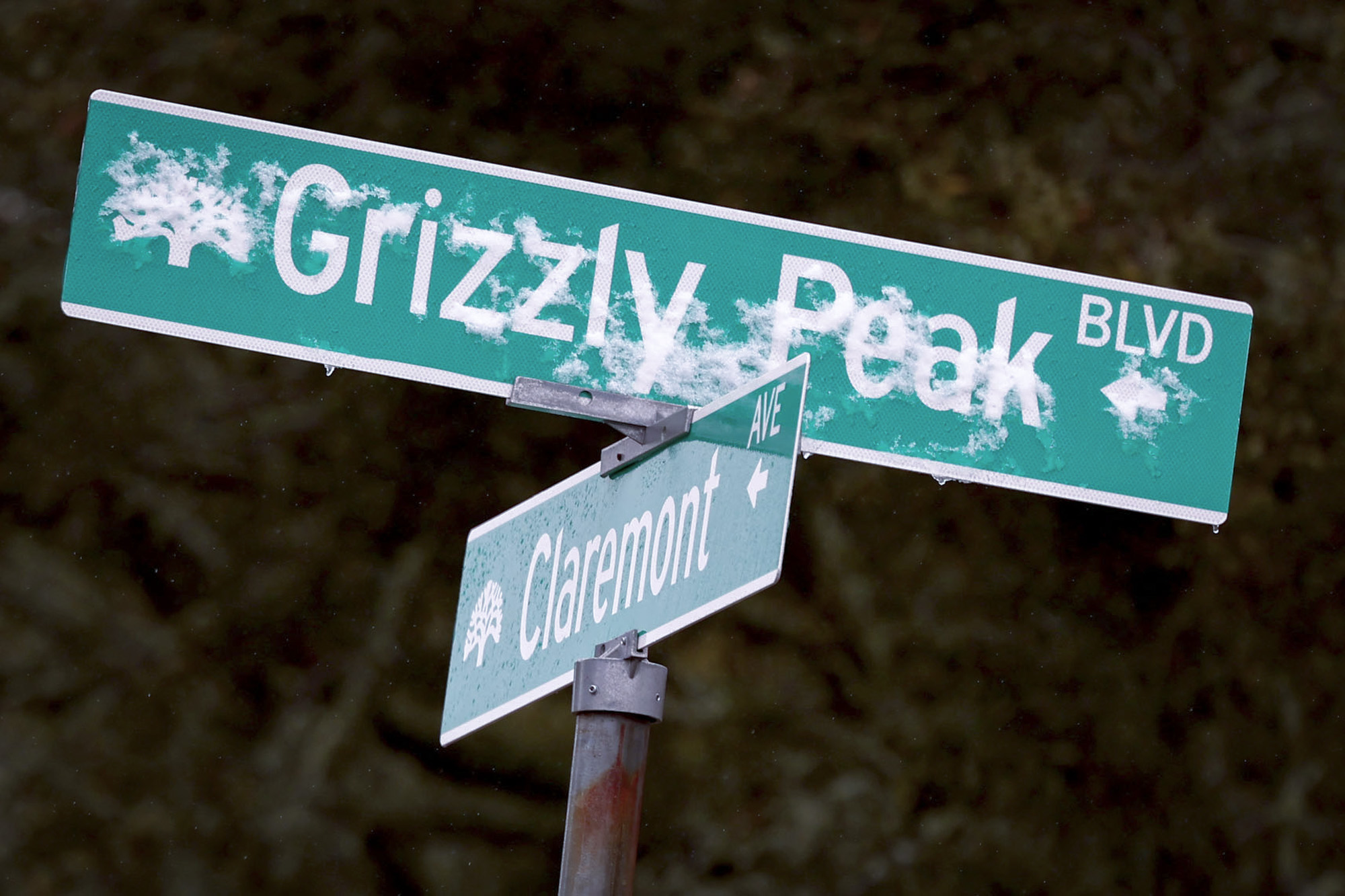
“The snow will probably be most notable for people living in the East Bay, the heart of the Bay Area,” said Matt Mehle, a meteorologist with the National Weather Service’s Bay Area office.
As temperatures drop Thursday and Friday evenings, forecasters said rain could turn into snow, and temperatures on Thursday afternoon will struggle to warm above the mid-50s in lowlands and above 30 degrees in higher terrain. Meteorologists warn that near-freezing temperatures could negatively impact unhoused people.
Up in the Sierra Nevada, as much as 1 foot of snow could fall across the highest elevations, once again complicating travel on mountain passes.
“Getting cold systems like this down into California is not uncommon; what’s uncommon is to get it at this time of year,” Mehle said.