Sponsor MessageBecome a KQED sponsor
upper waypoint

Sun and Strong Winds Come to the Bay Area Before a Chillier Weekend

Save ArticleSave Article
Failed to save article

Please try again

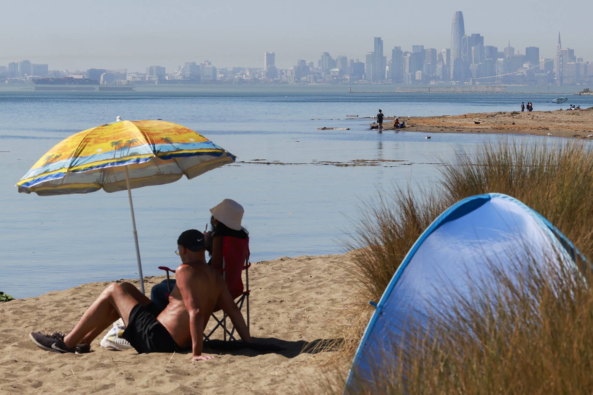
Residents lounge near the water on Alameda Beach in Alameda, California on Oct. 2, 2024. The Bay Area is expected to see temperatures up to 90 degrees inland and in the 70s along the coast Friday. Strong winds will pick up through the afternoon and evening.  (Photo by Jessica Christian/San Francisco Chronicle via Getty Images)

The Bay Area is getting a tease of warm weather on Friday, with temperatures up to 90 degrees inland and in the 70s along the coast.

But the summer heat won’t last, according to the National Weather Service. Friday’s sun will fade just as quickly as it came, making room for an unseasonably chilly weekend, believe it or not.

“Over the weekend itself, temperatures are going to nosedive,” said Matt Mehle, a lead meteorologist at the weather service’s Bay Area office. “We’re going to see temperatures drop by about 5 to 8 degrees on Saturday, and even more cooling is expected by Sunday.”

Sponsored

Thanks to an area of high atmospheric pressure passing over the Bay Area on Friday, those heading outdoors might finally be able to swap out their layers for sunglasses and SPF. In the East and North Bay regions, temperatures will hit the 80s and peak in the 90s inland, while the coast should reach the high 60s or low 70s.

But you might still want to bring a sweatshirt, since strong winds are expected to pick up through the afternoon and evening, hitting speeds up to 40 mph, according to Mehle.

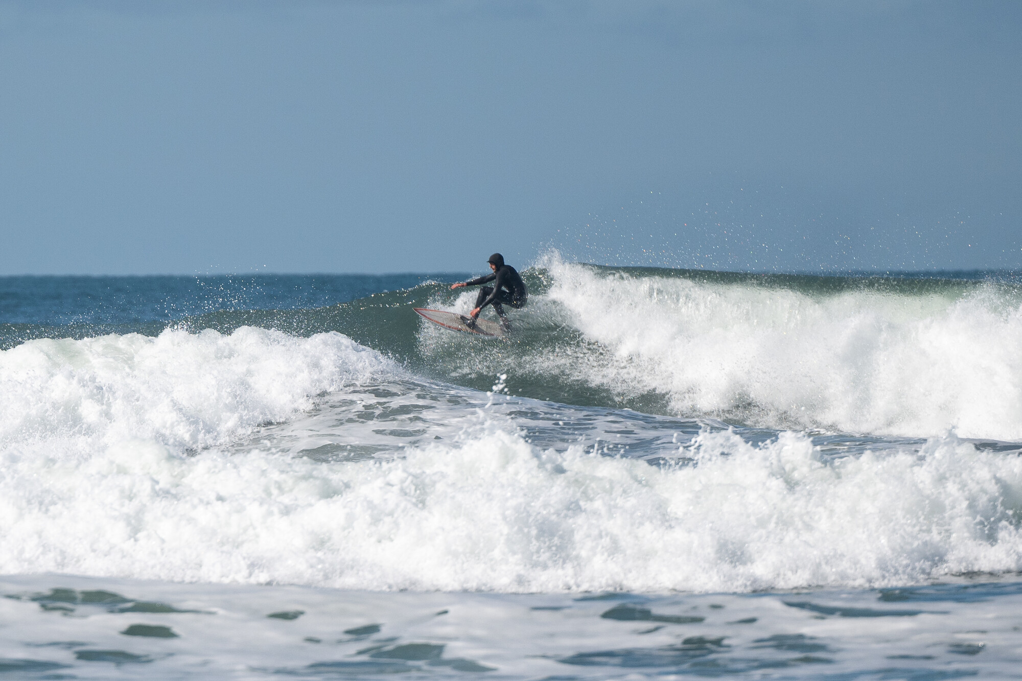
A surfer catches a wave at Ocean Beach in San Francisco on Feb. 10, 2025. (Beth LaBerge/KQED)

Light to moderate gusts will extend through the morning, gaining speed throughout the afternoon. West and northwest winds will reach their height on Friday evening before tapering off by dawn on Saturday.

Mehle said the wind will hit coastal and high elevation areas especially hard.

“We would not be surprised if we see some winds up to about 50 mph along portions of our coastline,” he said. “If you are recreating outdoors and you’re moving inland or away from the coast — [to the] East Bay Hills or North Bay Mountains — you’re going to see windy conditions as well.”

The afternoon gales mean an increased risk of downed trees, flying debris and power outages, and will likely make for rougher water on the Pacific Ocean. The National Weather Service has issued a small craft advisory along the coast from Point Reyes to Pescadero that lasts until 3 p.m. Friday, and another around the Suisun Bay and the San Francisco Bay north of the Bay Bridge that begins at 3 p.m. and extends through Saturday evening.

“We do have some marine-related hazards out,” Mehle said. “This afternoon, if you’re recreating inside San Francisco Bay on a smaller boat or paddleboarding or kayaking, just be mindful that we’ve got small craft advisories up for those winds.”

While heightened winds mean the usual increased risks for power outages, downed trees and wildfire, Mehle said fire risk won’t reach red flag warning or fire watch levels, since humidity isn’t expected to dip too low.

Looking ahead to next week, another peak in the Bay Area’s temperatures is expected on Wednesday and Thursday, and Mehle said projections through the end of the month are looking similarly sunny.

“The current eight-to-14-day outlook has above-normal temperatures for much of the West, including California, and that will take us all the way through the end of August,” he said.
lower waypoint
next waypoint