upper waypoint

The Bay Area Is in Store for a Windy Weekend

Save ArticleSave Article
Failed to save article

Please try again

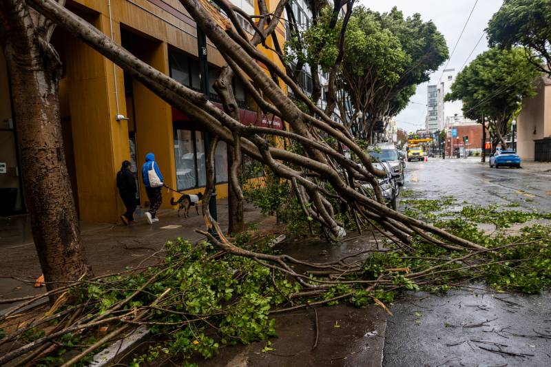
A fallen tree closes Fillmore Street between Golden Gate Ave and McAllister Street during a storm in San Francisco on Feb. 4, 2024. Though wind gusts could hit 50 mph on some ridgelines this weekend, fire danger is not expected to be a major concern for the Bay Area. However, much of the Central Valley will face heightened risk.  (Beth LaBerge/KQED)

This might be a good weekend to finally dust off that kite.

A cooler weather system out of the Pacific Northwest is expected to ratchet up winds and pull down temperatures in much of the Bay Area starting Friday afternoon, with Saturday gusts topping 30 mph at lower elevations and approaching 50 mph on some ridgelines.

The winds are likely to ease Saturday night but will pick back up again Sunday afternoon into early Monday, with major gusts largely confined to higher elevations, according to National Weather Service meteorologist Roger Gass.

Sponsored

High temperatures on Saturday will be in the mid- to upper-50s along the immediate coastline and mid-70s farther inland, with overnight lows in the upper-40s to lower-50s, Gass said. Temperatures are expected to increase slightly on Sunday, with mostly clear skies expected throughout the weekend.

In most of the Bay Area, this weekend’s stronger winds shouldn’t be too much of a cause for concern about significant wildfire danger, Gass said.

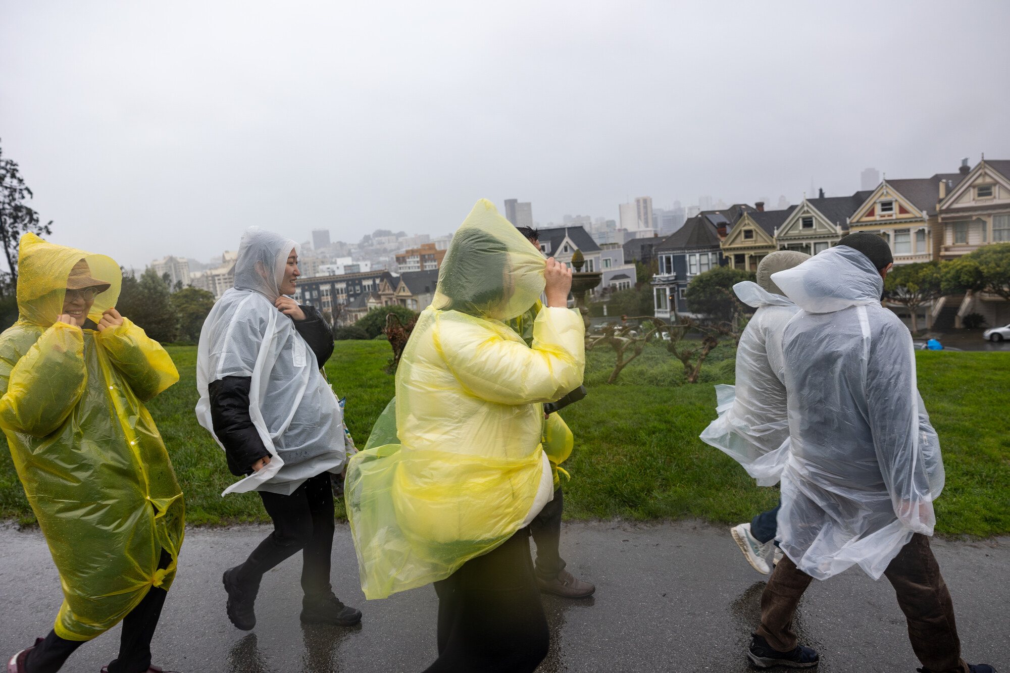
A group of tourists walks through Alamo Square Park during a storm in San Francisco on Feb. 4, 2024. (Beth LaBerge.KQED)

“I wouldn’t anticipate any red flag warnings or anything like that,” he said. “The most we would issue would be a wind advisory, but we’re still several days out from that.”

That same system, however, prompted the NWS to issue a Fire Weather Watch from Sunday morning through Monday evening for a large swath of the Central Valley, stretching from Redding to Modesto. It includes much of Solano County, where grasses have already started to dry out and are at heightened risk for rapid fire spread, amid strong winds and dry air.

PG&E said it is not planning any public safety power shut-offs this weekend, but noted that its meteorology team is forecasting “an elevated risk for wildfires for portions of PG&E’s service area this weekend and early next week.”

The utility is enabling what it calls “enhanced powerline safety settings” on more than 600 electric circuits, which can automatically cut power within a tenth of a second to lines hit by a falling tree branch, for example.

This weekend’s winds are not the first since the end of the rainy season, Gass noted.

“This isn’t anything too significant,” he said. “But it will continue to dry the fuels out.”

Despite a mostly dry January, precipitation levels throughout the region this year were only slightly below average, with the notable exception of the South Bay, where rainfall in many areas was less than 70% of normal, Gass said.

That said, the windy weekend ahead should serve as a reminder that the region is entering its annual period of heightened fire risk, said Robert Foxworthy, a Cal Fire information officer.

“We’re starting to get to those times where we want the public to be aware and folks to know those conditions are increasing, and be ready and be safe when you’re operating out in those areas,” he said. We’re starting to see an increase in fire behavior and fire activity, or at least a concern of that in Northern California.”

But Foxworthy is resistant to declaring an official start of fire season.

“We’ve already had a lot of fires this year,” he said, noting that more than 63,000 acres have burned across the state since January. “So I wouldn’t say it’s ‘the start of the fire season.’ Because we have the ability to have fires all the time throughout the year.”
lower waypoint
next waypoint