upper waypoint

Bay Area Peaks, Surrounding Mountains Get Dusting of Snow

Save ArticleSave Article
Failed to save article

Please try again

Snow in the Santa Cruz Mountains on Feb. 5, 2019. (Courtesy of Rich Goldberg)

Updated Feb. 5, 12 p.m.

Bay Area residents woke Tuesday morning to find snow dusting hilltops and mountains following a rare combination of cold temperatures and precipitation that hit the region Monday. Snow fell on Mount Hamilton, Mount Diablo, Mount Tamalpais, on hills surrounding San Jose, across the Santa Cruz Mountains and a portion of Upper Skyline Boulevard in San Mateo County.

The National Weather Service even reported a slight dusting of snow on Twin Peaks in San Francisco at approximately 3 a.m. on Tuesday.

The snow caused some road closures overnight. Highway 17 between Santa Clara and Santa Cruz counties was closed for about an hour early Tuesday. Northbound lanes of U.S. Highway 101 in unincorporated Marin County were temporarily closed Monday night into early Tuesday morning due to icy conditions, according to the California Highway Patrol.

Folks took to social media, posting their photos of the rare event. Philip Klotzbach posted to Twitter Tuesday morning that about 3 inches of snow had fallen on the summit of Mount Diablo.

Newly installed cameras used to scan for wildfires in Marin County allowed for online views of snow-dusted peaks, such as on Mt. Tamalpais.

And enough snow fell in the Santa Cruz mountains to build a snowman, albeit a small one.


The National Weather Service reports there will be a slight chance of showers Tuesday afternoon. Highs will be near 50 with winds gusting to 20 to 30 mph in the afternoon.

Tuesday night will be partly cloudy in the evening, then becoming mostly clear. Lows will be in the upper 30s to mid 40s.

Wednesday's forecast calls for sunny skies with high temps the lower 50s.

Bay City News contributed to this update.

Original Post Feb. 4: After the National Weather Service's prediction of snow at its lowest levels since 2011, the flurry of tweets about #BayAreaSnow was thick enough to blanket Bay Area newsfeeds in two feet of weather-related hype.

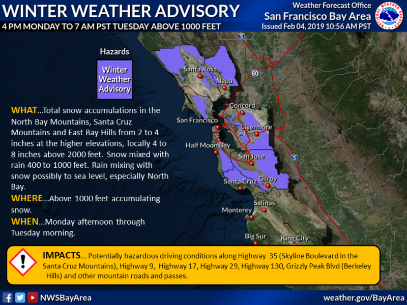
What the report itself actually predicts is the potential for snow accumulation at lower levels than usual in the Bay Area, starting Monday afternoon and lasting until Tuesday morning.

Let's break it down by region:

  • North Bay: Snow mixed with rain could occur lower than 1,000 feet.
  • Santa Cruz and East Bay: Snow levels predicted at above 1,000 feet.
  • Santa Lucia Mountains and Southern Gabilan Range: Snow levels anticipated about 1,500 feet.

"It’s definitely rare, though not unprecedented," said Ryan Walbrun, a meteorologist with the National Weather Service.

The Bay Area is experiencing a rare (for the area) combination of cold temperatures and precipitation and, as of Monday afternoon, there were already confirmed reports of snow in the hills. Walbrun said the lowest confirmed snow was in Lake County at 1,300 feet, while hills around Livermore also had reports of the white stuff.

But Walbrun said he wouldn't be surprised if they got reports of snow at lower elevations, though San Francisco itself shouldn't be as hopeful.

"It’s even harder to get it in the city just because it’s surrounded by water on all three sides," Walbrun said. The only places in San Francisco with even the smallest potential for snow sightings would be Twin Peaks or Mount Davidson.

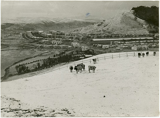
The places with a much higher likelihood of accumulation are going to be the peaks in other parts of the Bay Area. Mount Tam, Mount Saint Helena, Mount Diablo and even Skyline Boulevard in the Santa Cruz mountains could see some snow. The best times for the combination of cold and wet weather to bring snow would be between 12 a.m. and 6 a.m Tuesday morning.

"Be smart in the morning if there’s ice or snow," Walbrun warned. "Delay your time because it won’t take much to cause accidents."

Here's a handy map from the National Weather Service that highlights their Winter Weather Advisory.

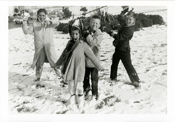
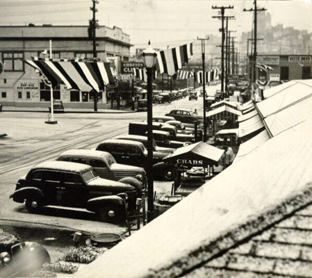
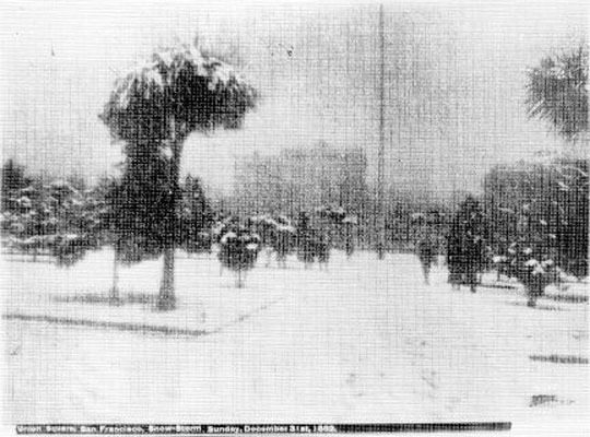
People took to social media to share photos and videos of the unusual Bay Area weather.

While we eagerly await snowy photos in our newsfeeds tonight, let's take a wintery stroll through the history of notable Bay Area snowfall.

1962

Children playing in the snow at Westmore High School. (SAN FRANCISCO HISTORY CENTER, SAN FRANCISCO PUBLIC LIBRARY)

1939

Fisherman's Wharf after a snow fall. (1939) (SAN FRANCISCO HISTORY CENTER, SAN FRANCISCO PUBLIC LIBRARY)

1932

Cows in the snow on Twin Peaks, houses in background.
Cows in the snow on Twin Peaks, houses in background. (1932) (SAN FRANCISCO HISTORY CENTER, SAN FRANCISCO PUBLIC LIBRARY)

1882

Union Square, San Francisco, snow storm. (1882) (SAN FRANCISCO HISTORY CENTER, SAN FRANCISCO PUBLIC LIBRARY.)

Sponsored

lower waypoint
next waypoint
State Prisons Offset New Inmate Wage Hikes by Cutting Hours for Some WorkersCecil Williams, Legendary Pastor of Glide Church, Dies at 94Erik Aadahl on the Power of Sound in FilmFresno's Chinatown Neighborhood To See Big Changes From High Speed RailKQED Youth Takeover: How Can San Jose Schools Create Safer Campuses?How to Attend a Rally Safely in the Bay Area: Your Rights, Protections and the PoliceWill Less Homework Stress Make California Students Happier?Nurses Warn Patient Safety at Risk as AI Use Spreads in Health CareSilicon Valley House Seat Race Gets a RecountRainn Wilson from ‘The Office’ on Why We Need a Spiritual Revolution