upper waypoint
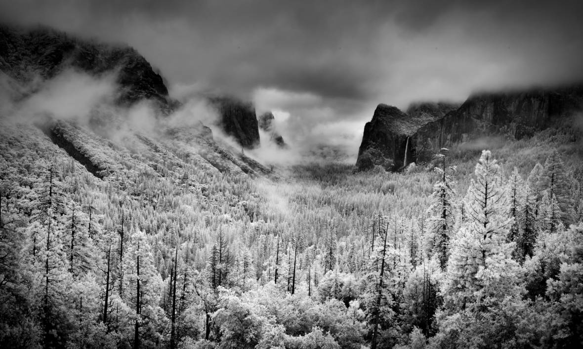
Yosemite Valley as pictured from Tunnel View in April 2014. While the shot appears to depict snowy trees, it's an infrared image that makes green foliage appear white.   <a href="https://flic.kr/p/nq67AP" target="_blank">Howard Ignatius via Flickr</a>
Yosemite Valley as pictured from Tunnel View in April 2014. While the shot appears to depict snowy trees, it's an infrared image that makes green foliage appear white.  (Howard Ignatius via Flickr)

10 Things to Know About the Big, Snowy Storm Hitting California

10 Things to Know About the Big, Snowy Storm Hitting California

Save ArticleSave Article
Failed to save article

Please try again

1. What's different about this storm? Unlike most of the storms we've seen this winter, which have been either warm and wet or cold but dry, this is a cold weather system that will pull in a decent amount of moisture from the Pacific and dump lots of snow -- 5 feet or more at the highest elevations -- throughout California's mountains from late Wednesday through late Saturday. As much as a foot may fall in the northern Sierra foothills, and snow may even accumulate at the northern end of the Sacramento Valley. High winds will create blizzard conditions. The National Weather Service office in Sacramento says "travel over the mountains is highly discouraged" during the tempest.

2. When will it hit? Rain will begin sweeping over the Bay Area early Wednesday evening, with rain reaching the South Bay by midnight. Models suggest snow will begin falling in the northern and central Sierra by midafternoon.

3. Where will it hit? Virtually all of California except the state's southeastern corner is in for some rain or snow between Wednesday and Saturday.
4. How much rain? Most of the Bay Area is forecast to get between 1 and 2 inches of rain by Saturday afternoon. The usual suspects -- the higher elevations in Sonoma and Marin counties and the Santa Cruz Mountains -- could get 3 to 4 inches of rain during that period.

Sponsored

5. How much snow? Up to 4 feet in the Siskiyous, Trinity Alps and other ranges of far Northern California; up to 4 feet at Mount Lassen and in the higher elevations of the northern Sierra; from 5 to 7 feet in the highest reaches of the central Sierra, including all the main highway passes, with between 1 and 3 feet at the 6,000-foot elevation, including Lake Tahoe; and as much as 3 feet in the southern Sierra.

6. Wind? The forecast calls for 15 to 30 mph winds on Wednesday night and early Thursday in most Bay Area locales, gusting to 40 mph on the coast and 50 mph over higher terrain. Gusts over Sierra Nevada ridges could top 100 mph.

7. Will all that snow help build up our meager snowpack? Yes. But bear in mind that going into this week, the statewide mountain snowpack was near its lowest level ever -- less than 20 percent of the average snow-water equivalent for late February. The cold, relatively dry storm that dropped more than a foot of snow on some locations earlier this week improved things a little, moving the snow-water equivalent up to 23 percent of average. If the incoming storm is as wet as expected, dropping the equivalent of 5 to 6 inches of water over the Sierra crest, the snowpack could be between 40 and 50 percent by the beginning of next week.

8. Travel impacts? We'll see enough rain around the Bay Area to create the usual problems with ponding and standing water on roadways. The standard advice is to slow down -- but we're not holding our breath that most of us will actually do that. Traveling in the mountains will be another matter. Winter storm warnings are in place for virtually all mountain areas in the northern two-thirds of the state. The National Weather Service office in Sacramento puts it succinctly: "Travel over the mountains is highly discouraged, as conditions will be extremely hazardous." That advisory holds for the duration of the warning period, which in many locations will last through Saturday night.

9. What about the impact in Southern California? The storm could bring parts of the Los Angeles area more than an inch of rain. The biggest concern is in the area near Santa Barbara and Montecito, where extremely heavy rain on Jan. 9 over the region burned in the Thomas Fire unleashed a debris flow that killed 21 people.

The current forecast anticipates heavy rain over vulnerable parts of multiple burn areas, prompting Santa Barbara County officials to issue mandatory evacuation orders for residents near the Thomas, Sherpa and Whittier fire burn areas. Officials said residents should evacuate by 6:00 p.m. Thursday.

10. What's next? After the main burst of snow and rain Wednesday and Thursday, showers are forecast through Saturday in lower elevations, including the Bay Area. In the mountains, a second wave of snow is forecast Friday night. Dry, cold weather is forecast after the rain departs. Forecast models suggest we'll see more rain as early as next Tuesday.

Further reading:

This post has been updated.

lower waypoint
next waypoint
State Prisons Offset New Inmate Wage Hikes by Cutting Hours for Some WorkersCecil Williams, Legendary Pastor of Glide Church, Dies at 94Erik Aadahl on the Power of Sound in FilmFresno's Chinatown Neighborhood To See Big Changes From High Speed RailKQED Youth Takeover: How Can San Jose Schools Create Safer Campuses?How to Attend a Rally Safely in the Bay Area: Your Rights, Protections and the PoliceWill Less Homework Stress Make California Students Happier?Silicon Valley House Seat Race Gets a RecountNurses Warn Patient Safety at Risk as AI Use Spreads in Health CareRainn Wilson from ‘The Office’ on Why We Need a Spiritual Revolution