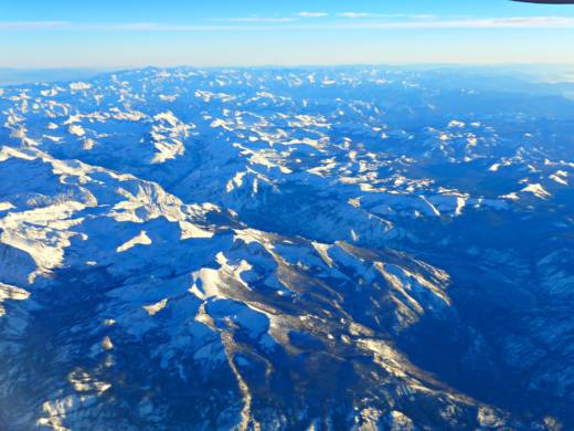
Original post (Tuesday, Jan. 3): State water officials conducted their first direct eyeball assessment of the Sierra Nevada snowpack on Tuesday -- and what they found might be a little counterintuitive if you've been watching rain gauges just about anywhere in California's lower elevations.
In a familiar ritual, Department of Water Resources surveyors visited a measuring site at Phillips Station, about 6,800 feet above sea level and just off U.S. 50 near Lake Tahoe. They found that the snow at the site contained just 53 percent of the average water content for early January.
That figure is actually lower than the department's electronically measured levels of the snowpack's water content. On Tuesday, those numbers ranged from 68 percent of average for the northern mountains (from the Trinity River watershed down to the Truckee River) to 73 percent for the southern end of the Sierra. The statewide snowpack is at 70 percent overall.
The snowpack is closely watched because it stores about one-third of the water that falls on the state and influences everything from farm and city water supplies to electricity generation.
This year's below-average snowpack numbers are occurring in the midst of a much wetter than normal early rainy season for the state as a whole.
The DWR's index of precipitation for the northern Sierra -- recorded at eight different stations from Mount Shasta to the American River hamlet of Pacific House -- stands at 164 percent of average for the date. The indexes for the two mountain regions to the south stand at 130 and 117 percent.
The California-Nevada River Forecast Center, too, shows coastal locations from San Diego County clear up to the Oregon state line with rainfall totals ranging from about 120 to 200 percent of average and even higher in a few locations. The only exception to the generally high rain totals has been in the Salinas Valley and the Diablo Range, which runs between the northern Salinas Valley and the San Joaquin Valley.
The heavy early-season rain has helped the state's big reservoirs rebound to levels close to or well above their average levels for early January.
But all that water has arrived in a series of warm storms that have dropped their moisture as rain except at the highest elevations.
That's a pattern that's being broken, at least for the time being. Today's snow survey took place amid a series of storms that could drop as much as 10 feet of snow on parts of the Sierra by this time next week.
Frank Gehrke, chief of the California Cooperative Snow Surveys Program, reminded reporters at Phillips Station on Tuesday that as recently as last week, the ground there was mostly bare. He also recalled recent drought years in which the site remained snowless nearly all winter.
"Probably the most encouraging thing is, unlike many years when we stood up here in January, it looks like we've got a series of wet, cold storms stretching out for the next week," Gehrke said. "That's gonna really bolster the snowpack."

