If you're a drought pessimist, or just the nervous type, you might see California's weather so far this fall as a confirmation of your worst fears. Forecasters far and wide assure us that we are on the threshold of an epically wet, El Niño-fueled winter. And they've got the data and the models to back up that outlook.
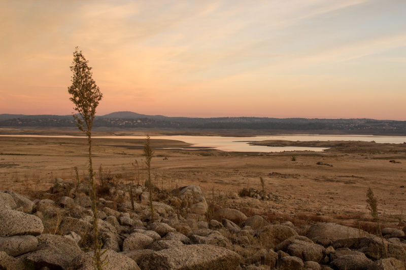
What they don't have so far is actual rain or (much) snow to calm the skeptics among us. What we see is shrinking reservoirs, below-normal precipitation in many locations and the memory of the past several "rainy" seasons in which anomalously dry, warm winter weather has prevailed (we're looking at you, Ridiculously Resilient Ridge.)
For the truly determined drought-relief doubter, Exhibit A has got to be last winter.

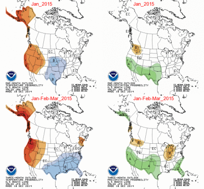
It began with a sopping-wet December. With the benefit of hindsight and the archives of National Oceanic and Atmospheric Administration's Climate Prediction Center, we can go back to the middle of that rainy month and revisit what the dynamical forecast models were telling weather scientists and hopeful lay people about the coming months.
Yes, it looked like the chances were good for a moist January, February and March. What happened instead, of course, is that the storms that had dumped trillions of gallons of water on the state vanished. Most of California experienced its driest January on record.

