upper waypoint
The Stanislaus River canyon, an arm of New Melones Lake. The reservoir is 22 percent of normal and could be completely drained by fall.  Dan Brekke/KQED
The Stanislaus River canyon, an arm of New Melones Lake. The reservoir is 22 percent of normal and could be completely drained by fall.  (Dan Brekke/KQED)

Satellite Imagery, Photos Bring Home Magnitude of California Drought

Satellite Imagery, Photos Bring Home Magnitude of California Drought

Save ArticleSave Article
Failed to save article

Please try again

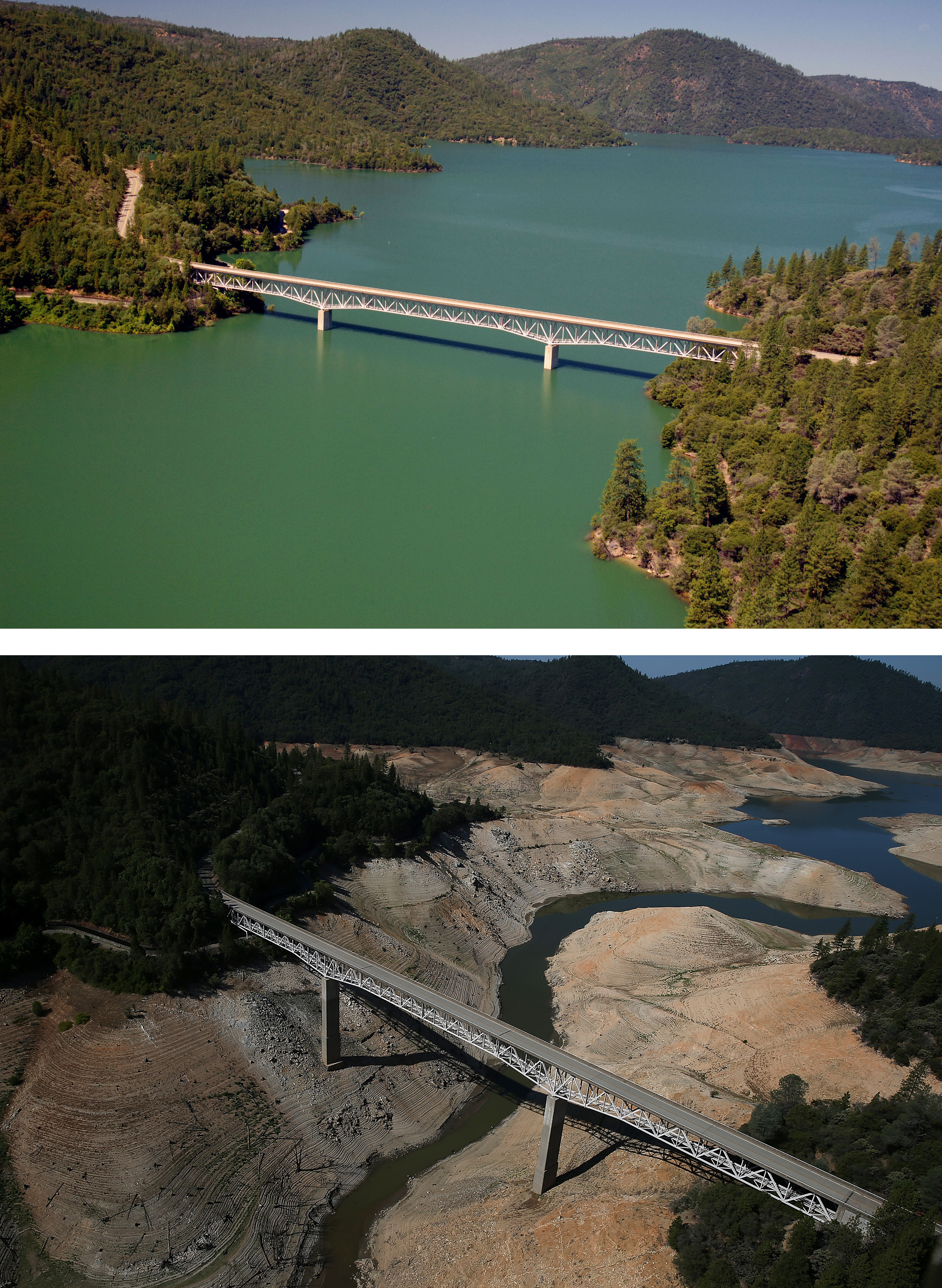
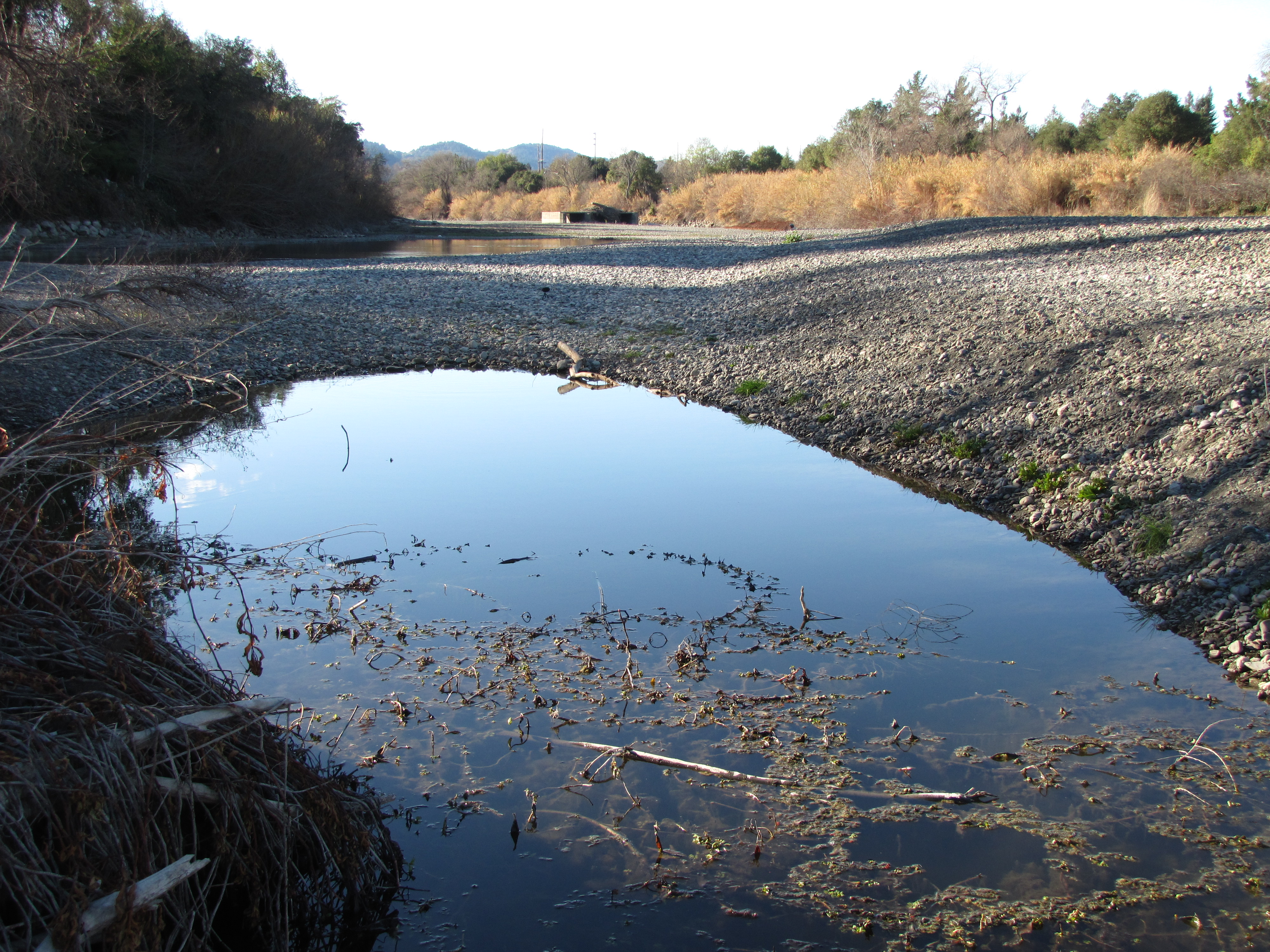
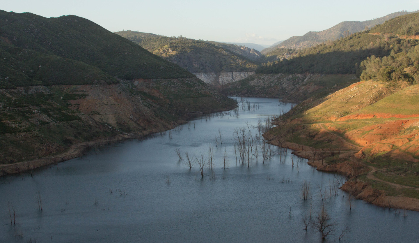
Last November, to illustrate the severity of the drought, we published these photos of Lake Oroville over a 20-month period. (The lake was "sort of a drought poster child," wrote Lisa Pickoff-White.)

In that same vein, here are three satellite images from NASA of  the Lake Tahoe region, from February 2011 to February 2014, showing the diminishing amount of snow. The images come from the agency's site Images of Change.

Images taken by the Enhanced Thematic Mapper Plus onboard Landsat 7 and the Operational Land Imager onboard Landsat 8.

Things have only worsened since then. Check out this gif of the Sierra snowpack comparing satellite images from April 2014 with March 2015.

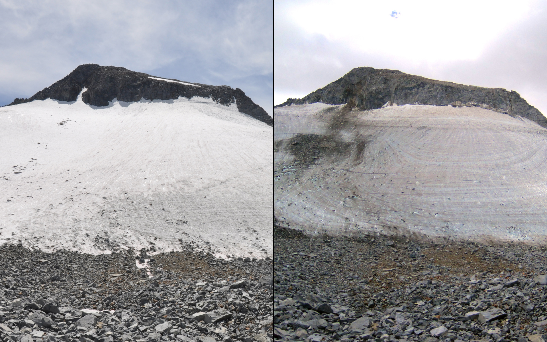
Now, courtesy of NASA again, here's Yosemite's shrinking Lyell Glacier:

Sponsored

U.S National Parks Service

From NASA:

The Lyell Glacier, larger of the two glaciers in Yosemite National Park and second largest in the Sierra Nevada mountains, has thinned noticeably even in just the last few years. Newly exposed bedrock is visible on the east (left) side of the 2014 image. The glacier is currently estimated to be 15 to 20 feet thick, losing about three feet of thickness each year.


Some more stark images from our drought collection:

Bear tracks in the mud at Shasta Lake.
Bear tracks in the mud at Shasta Lake. (Molly Samuel/KQED)


Before And After: Statewide Drought Takes Toll On California's Lake Oroville Water Level
OROVILLE, CA - JULY 20: In this before-and-after composite image, (Top) The Enterprise Bridge passes over full water levels at a section of Lake Oroville on July 20, 2011, in Oroville, California. (Photo by Paul Hames/California Department of Water Resources via Getty Images) OROVILLE, CA - AUGUST 19: (Bottom) The Enterprise Bridge passes over a section of Lake Oroville that is nearly dry on Aug. 19, 2014, in Oroville, California. (Justin Sullivan/Getty)


 A car sits in dried and cracked earth of what was the bottom of the Almaden Reservoir on January 28, 2014 in San Jose, California.
A car sits in dried and cracked earth of what was the bottom of the Almaden Reservoir on Jan. 28, 2014, in San Jose, California. (Justin Sullivan/Getty)
Drought5
The Russian River, near Badger Park in Healdsburg, on Feb. 1, 2014. Low flows have created isolated pools, stranding some fish and forcing officials to close many rivers to fishing.


More drought photos:

lower waypoint
next waypoint
Pro-Palestinian Protests Sweep Bay Area College Campuses Amid Surging National MovementAt Least 16 People Died in California After Medics Injected Sedatives During Police EncountersCalifornia Regulators Just Approved New Rule to Cap Health Care Costs. Here's How It WorksState Court Upholds Alameda County Tax Measure Yielding Hundreds of Millions for Child CareYouth Takeover: Parents (and Teachers) Just Don't UnderstandSan José Adding Hundreds of License Plate Readers Amid Privacy and Efficacy ConcernsViolence Escalates in Sudan as Civil War Enters Second YearCalifornia Law Letting Property Owners Split Lots to Build New Homes Is 'Unconstitutional,' Judge RulesSF Emergency Dispatchers Struggle to Respond Amid Outdated Systems, Severe UnderstaffingLess Than 1% of Santa Clara County Contracts Go to Black and Latino Businesses, Study Shows