These are dry times for the Golden State. Explore California's historic drought in this multimedia series.
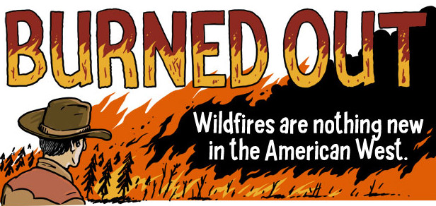
Burned Out: Why Western Wildfires Have Gotten Bigger, Meaner and Harder to Control
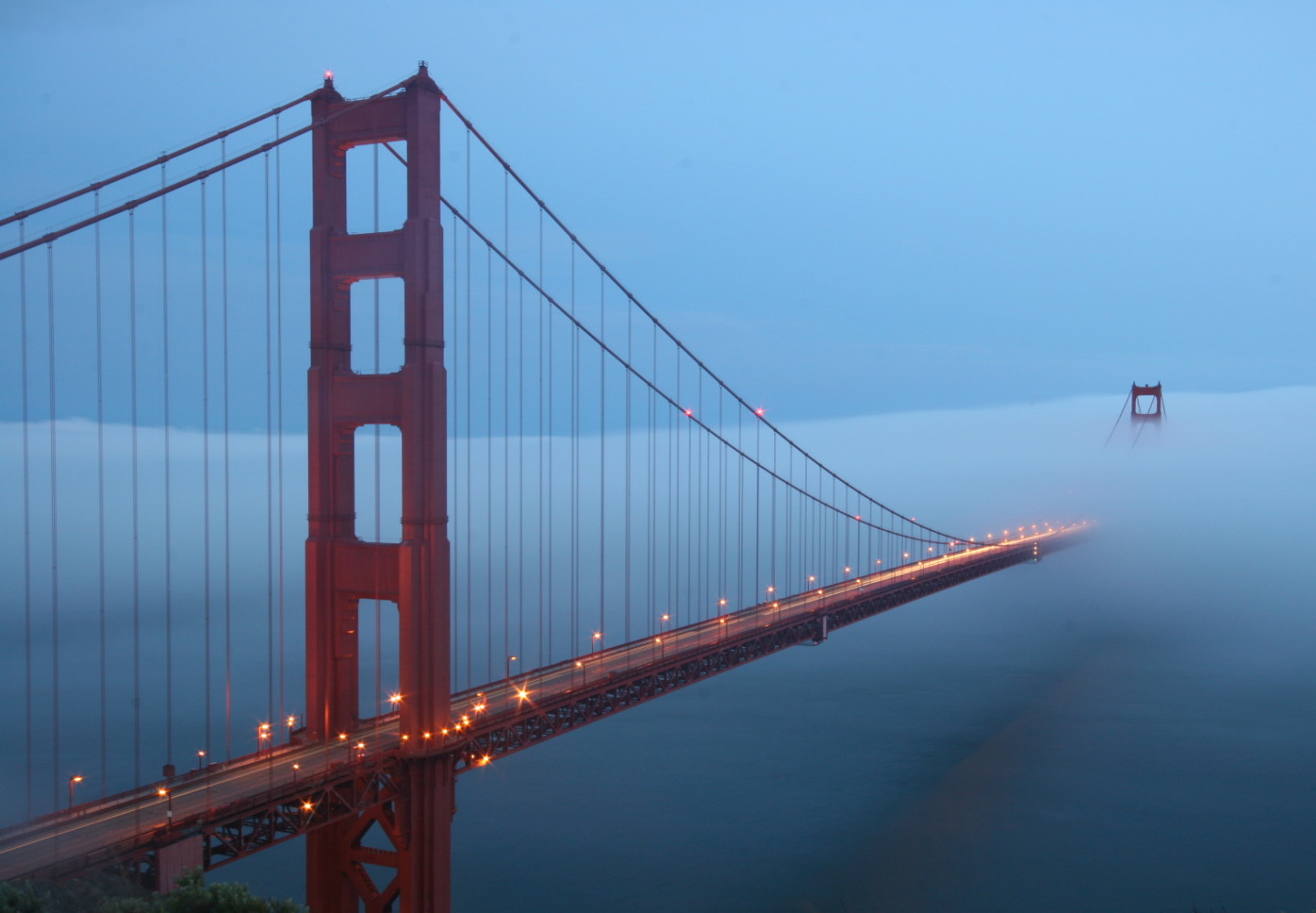
The Chilling Effect: Why San Francisco Gets So Dang Foggy in the Summer [Interactive]
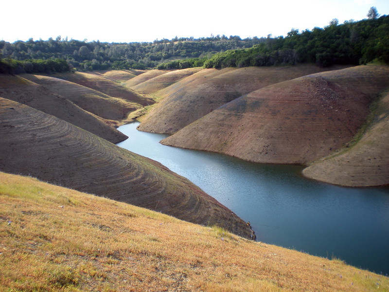
MAP: What California's Reservoir and Snowpack Levels Look Like Now
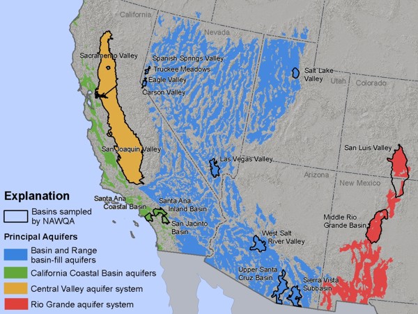
What's an Aquifer? An Interactive Guide to Understanding California's Growing Groundwater Crisis
How California's Mandatory New Drought Cuts Will Impact Your Water Use [Interactive Map]
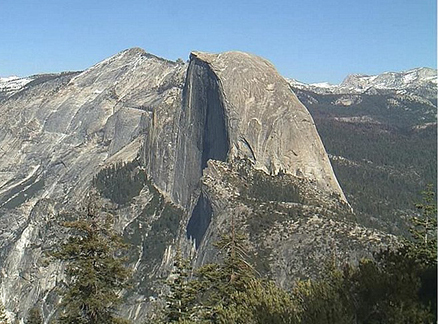
The End of Snow? Winter Pics of Yosemite's Half Dome Since Drought Hit [GIF]
Visualization: Now that California's "Rainy Season" is Over, How Do Those Reservoirs Look?
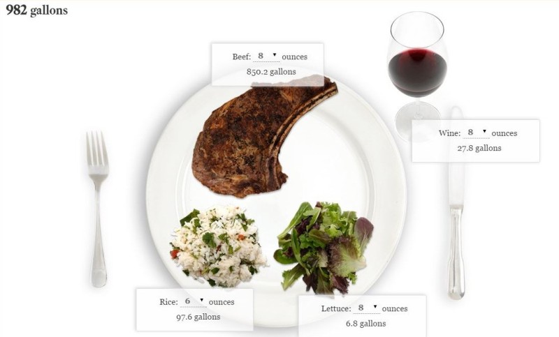
How Much Precious California Water Did You Just Eat? Find the Water Footprint of Your Food
How Much Water Do Californians Use and What Does 25 Percent Less Look Like?