As three major fire complexes continue to scorch more than 300,000 acres across northern California, we’ll get an update on containment and evacuations. We’ll also hear about a new collaboration between the state emergency authority and Google that provides wildfire mapping in Google search results. And we’ll talk with state officials about where to go for accurate, up-to-date information about fires, evacuations and road closures.
Bay Area Wildfire Updates and Where to Find Information in an Emergency
32:28

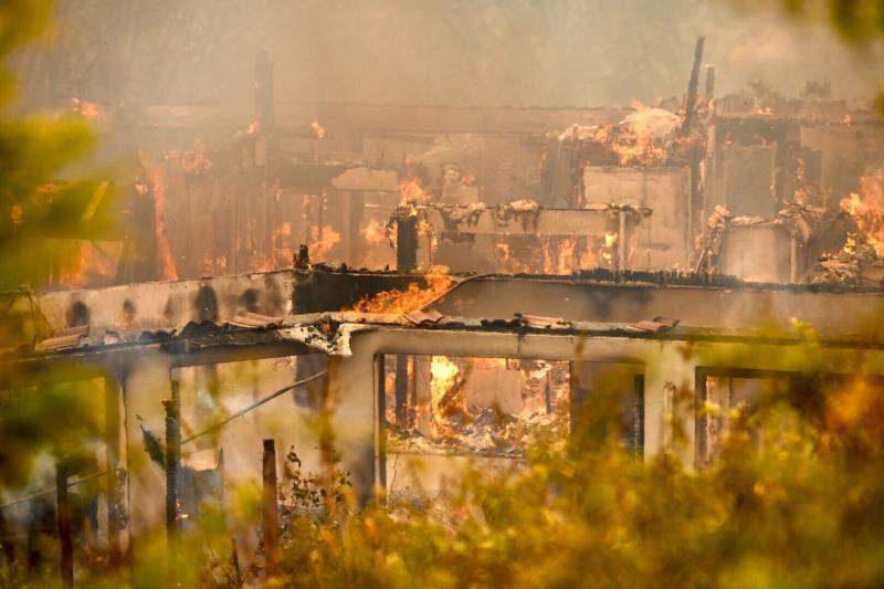
A house burns on Serenity Hills Rd outside of Vacaville, California on Wednesday afternoon, August 19, 2020. (Beth LaBerge/KQED)
Guests:
Michelle Wiley, reporter, KQED
Hannah Hagemann, KROC Fellow, reporting on the CZU fire for KQED
Raquel Maria Dillon, reporter, KQED
Sponsored