Sponsor MessageBecome a KQED sponsor
upper waypoint

Heat Wave Could Blast More Bay Area Temperature Records Friday

Save ArticleSave Article
Failed to save article

Please try again

People flock to Baker Beach near the Golden Gate Bridge as a heat advisory is issued in San Francisco, California, on March 16, 2026. Unseasonably high heat is rewriting Bay Area record books this week, with forecasters warning of more highs before temperatures ease.  (Tayfun Coskun/Anadolu via Getty Images)

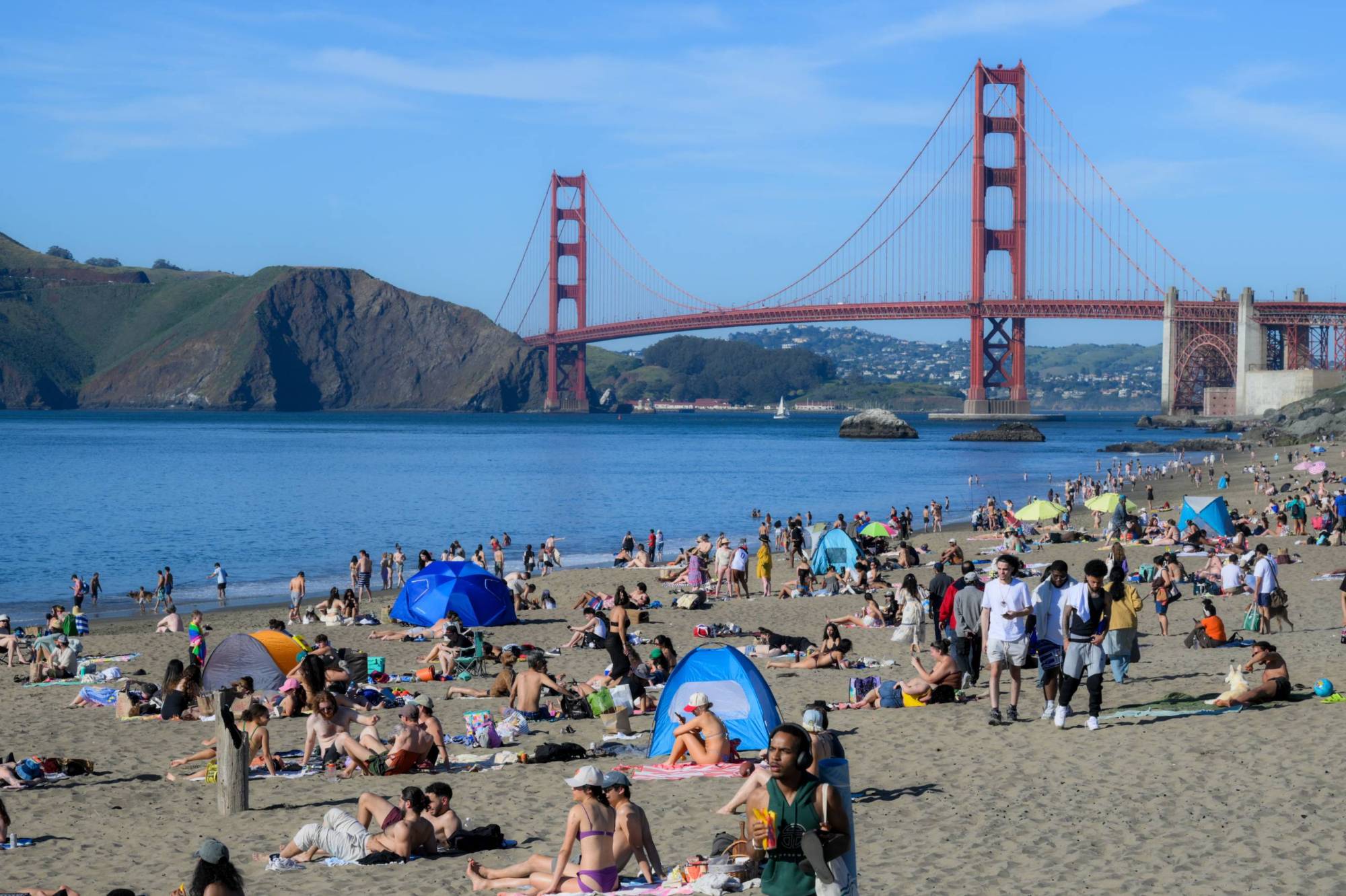
The heat wave roasting much of California, causing people to flock to local beaches, has already broken daily and monthly high-temperature records in cities across the Bay Area — with the week’s hottest days still on the way.

Santa Rosa, San Rafael, San Francisco, Redwood City and Oakland all set new records for Tuesday, and one Peninsula town broke a much larger record set this week. At 93 degrees on Tuesday, Redwood City topped its previous March record of 90 degrees, set on Monday.

Similarly, Oakland beat its 2005 record of 88 degrees, peaking at 89. San Francisco tied for its hottest March day on record, a record previously set in 1952.

Sponsored

Karleisa Rogacheski, a lead meteorologist with the weather service’s Bay Area office, said as long as the ridge of high pressure causing the heat wave lingers over the region, other cities will likely add themselves to the list of all-time March records.

In Wednesday’s daily forecast discussion, meteorologist Dylan Flynn wrote Bay Area residents can expect a “rinse and repeat” of the high temperatures through Friday, with some South Bay cities approaching triple digits. The service has issued a heat advisory through Friday at 8 p.m.

“Friday looks to be the warmest day for everyone,” Rogacheski said. “We’re expecting to see the lower 90s for much of the region.”

Daytime temperatures in the North Bay, around Napa and Sonoma counties, will hover between 90 and 95 degrees, as will areas like Livermore.

Closer to the coast, San Francisco could top out at 87 degrees, and San José could sizzle at 97 degrees, Rogacheski said.

Meteorologists said temperatures would be noticeably cooler by 5 to 10 degrees on Saturday. But daytime temperatures this weekend will still be between 5 and 15 degrees above normal for this time of year.

And, they wrote, the Bay’s fire danger slightly increases because of “dead fuels,” dried out from the days of heat.

Next week, Rogacheski said, there’s a chance that the ridge of high pressure could return and bring “some warmer temperatures,” but that’s not certain at this point.

“It will probably be warmer for the first part of next week, but as of right now, we’re not anticipating seeing heat like we’ve been seeing the last couple of days,” Rogacheski said.

Forecasters wrote the next chance of rain isn’t until the end of the month or early April, but it’s “just as likely that another dry heat wave moves in.”

lower waypoint
next waypoint
Player sponsored by