Sponsor MessageBecome a KQED sponsor
upper waypoint

Winter Is so Back. Storms Are on the Way for the Bay Area and Sierra Nevada

Save ArticleSave Article
Failed to save article

Please try again

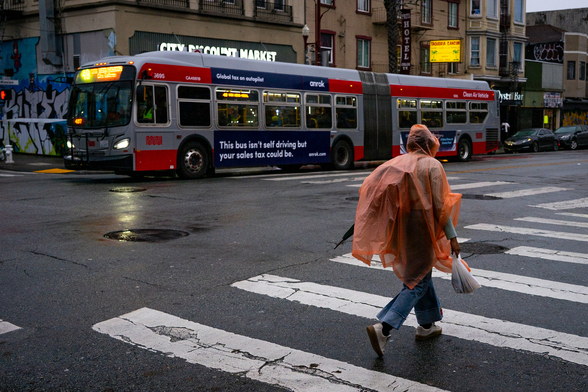
People walk along Mission Street in San Francisco on Dec. 23, 2025, as a storm system moves through the Bay Area. A shift in the jet stream will bring much-needed winter storms to Northern California this week after weeks of dry weather, and forecasters say the storm door could be opening for the foreseeable future.  (Beth LaBerge/KQED)

The Bay Area’s first false spring is coming to an end this week as two storms promise to bring much-needed rain across the region and snow to the Sierra Nevada.

National Weather Service forecasters said the weather pattern will shift from shorts-and-hoodie weather with a first storm starting Tuesday. But it is just the beginning of what forecasters say appears to be the storm door opening for the foreseeable future, with rain and mountain snow that could last through mid-February.

“The jet stream is now pointing at California, and when that happens, it’s kind of like a highway for storms to move through,” said Dylan Flynn, a meteorologist with the weather service’s Bay Area office.
Sponsored

Tuesday’s storm, dipping down from the Gulf of Alaska, could deliver as much as an inch of rain in coastal cities and 2 inches along the coastal range.

Flynn said the first round of rain will last through midday Wednesday and will be mostly beneficial after weeks of dry weather. But he said the brief storm will bring strong winds, colder temperatures and a chance of thunderstorms.

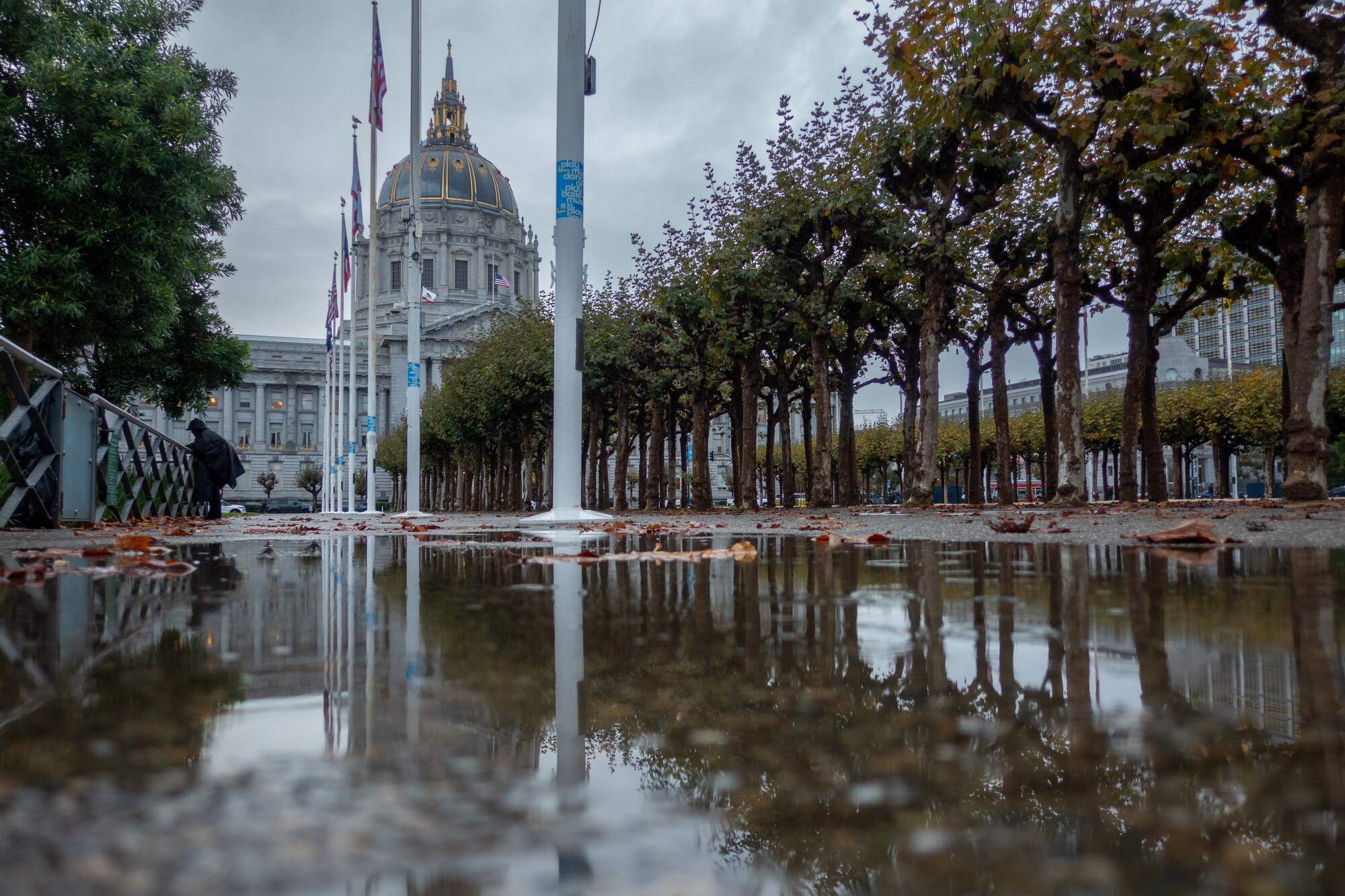
San Francisco City Hall is reflected in a rain puddle at Civic Center Plaza on Nov. 13, 2025. (Gustavo Hernandez/KQED)

“It’ll be a stormy, nasty day Tuesday, and then Wednesday it’ll clear up,” Flynn said.

Forecasters also expect the first storm to blanket the Sierra Nevada in snow, with up to a foot and a half of snow above 6,000 feet and up to 2 feet at the highest peaks. The storm could complicate mountain travel from Tuesday through midday Wednesday.

A much colder, wetter and potentially longer storm will likely move over Northern California on Saturday, just in time for a three-day Valentine’s weekend.

“That next system really could help put us back on track, at least for our snowpack and water reservoir levels,” said Jeffrey Wood, a meteorologist with the National Weather Service’s Sacramento office.

Forecasters suggest this weekend’s storm could bring multiple feet of snow to the Sierra Nevada, but it’s too early to tell. The storm could linger into next week, with a potential third storm arriving later next week.

“It does look like the storm track from the Pacific is finally opening up to bring snow back to the Sierra,” said Mark Deutschendorf, a meteorologist with the weather service’s Reno office. “Winter is finally coming back.”

Deutschendorf recommends mountain travelers avoid the snowiest windows and pay close attention to road controls; they might miss out on skiing and instead be “stuck on the highway waiting for plows to come.”

Across the Bay Area, Flynn said the second storm will be a “little more tame,” but sustained rain, with about the same amount as Tuesday’s storm, could last Saturday through Tuesday or longer.

“We don’t see any of the strong wind or big thunderstorm threat with the next system,” Flynn said. “It’s more well-behaved.”

lower waypoint
next waypoint
Player sponsored by