Sponsor MessageBecome a KQED sponsor
upper waypoint

California’s Snowpack Is Shrinking, but Winter Isn’t Over Yet

Save ArticleSave Article
Failed to save article

Please try again

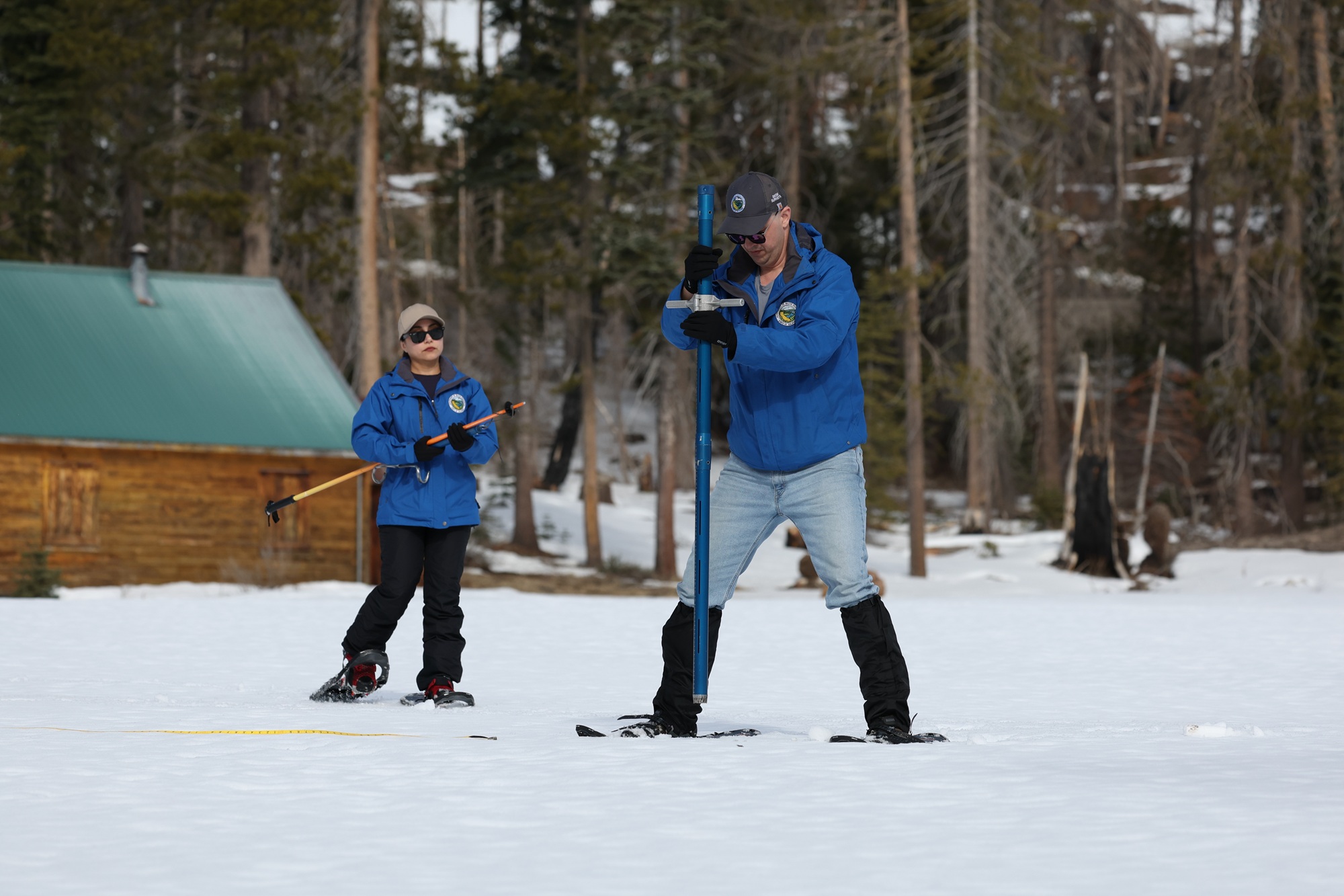
The California Department of Water Resources (from left) Hydrometerologist, Angelique Fabbiani-Leon, and Engineer Jacob Kollen, conduct the second media snow survey of the 2026 season on Jan. 30, 2026, at Phillips Station in the Sierra Nevada. The snow survey is held approximately 90 miles east of Sacramento off Highway 50 in El Dorado County.  (Courtesy of Sara Nevis/California Department of Water Resources)

As state water officials surveyed the Sierra Nevada snowpack on Friday, California seems to be repeating last winter’s topsy-turvy weather whiplash between super wet and dry conditions, raising worries about diminishing snow reservoirs.

Three weeks ago, the snowpack was glistening white after storm after storm hit the Sierra during a December drenched by atmospheric rivers. But most of January, historically California’s wettest month, has been virtually dry, and today the snowpack sits at just 36% of the April 1 average, which water leaders look to as the measuring stick for the state’s frozen reservoir.

The size of the snowpack is a big deal because it accounts for about a third of the state’s water supply, which millions of people, cities and farms rely on the rest of the year.
Sponsored

“We’ve been in this position before, and we’ve caught up in the past,” said Andy Reising, manager of the state’s Snow Surveys and Water Supply Forecasting Unit. “We don’t want to be going backwards at this time of year; we need more storms.”

The issue this winter, Reising said, is that big atmospheric rivers brought more rain than snow in late December and early January, especially at lower elevations. And then the temperatures warmed up.

“I haven’t seen this much liquid running under the snowpack at this time of year,” Reising said.

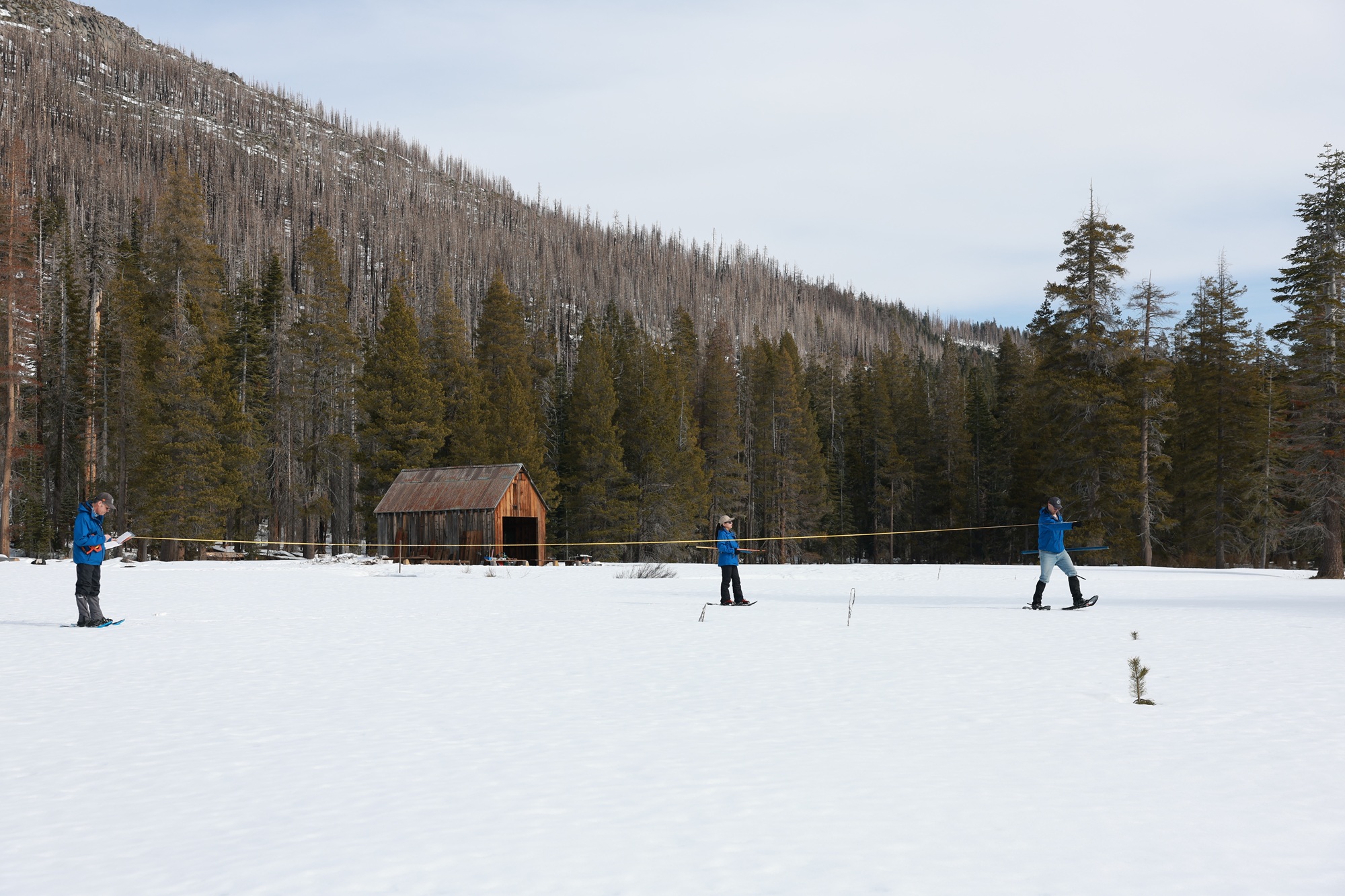
California Department of Water Resources (from right) Engineer Jacob Kollen, Hydrometerologist Angelique Fabbiani-Leon and Snow Survey and Water Supply Forecasting Unit Manager Andy Reising take measurements during the second media snow survey of the 2026 season on Jan. 30, 2026, at Phillips Station in the Sierra Nevada. (Courtesy of Andrew Nixon/California Department of Water Resources)

What may be occurring is a phenomenon known as weather whiplash. Warming temperatures are deepening California’s natural weather pattern, which bounces from wet to super-dry conditions that warmer temperatures can worsen. This can melt precious snow reservoirs early.

“We’re lucky that we got the fall and December that we did, because had this been the pattern all winter, we’d be in big trouble,” Daniel Swain, a University of California Agriculture and Natural Resources climate scientist, said in his virtual office hours YouTube series.

But the snowpack across the Sierra Nevada is a tale of three realities. The northern part of the state is at 44% of normal, the Central Sierra at 59%, and the Southern Sierra at 77% for this time of year. Altogether, the state’s snowpack is at 59% of normal for this time of year.

“The good news for California, at least, is that the Southern and Central Sierra is doing, if not great, doing fine snowpack-wise right now, at least at higher elevations,” Swain said.

Swain said it’s still a little too early to tell if the rest of winter will ultimately be dry, but it would “take a miracle March and then some” to boost the snowpack ultimately.

If a snow drought emerges, it will have negative ramifications for both the state’s water supply and wildfire risk, although at the moment, reservoir levels are at about 70% of average.

“From the reservoir perspective, we’ll be OK, but from a hydroclimate whiplash perspective, it’s quite possible that California could enter once again another wet-to-dry cycle as we go from spring into summer,” Swain said.

But Swain said he is not yet banking on a dry rest of the winter. Even though forecasters suggest the next two weeks could further shrink the snowpack, “ what happens later in February and March is really going to tell that tale,” he said.

Reising understands it’s too early to predict snow across the mountain range, but “having two weeks ahead of us that we know is unlikely to produce any more snowpack and precipitation, that doesn’t look good.”

State climatologist Mike Anderson said there are “hints” that the second half of February could bring rain. For now, he’s holding out hope that “the storm door opens enough to get wet conditions to return.”

lower waypoint
next waypoint
Player sponsored by