Sponsor MessageBecome a KQED sponsor
upper waypoint

The Bay Area Basks in the Sun, Before an Atmospheric River Rolls in This Week

Save ArticleSave Article
Failed to save article

Please try again

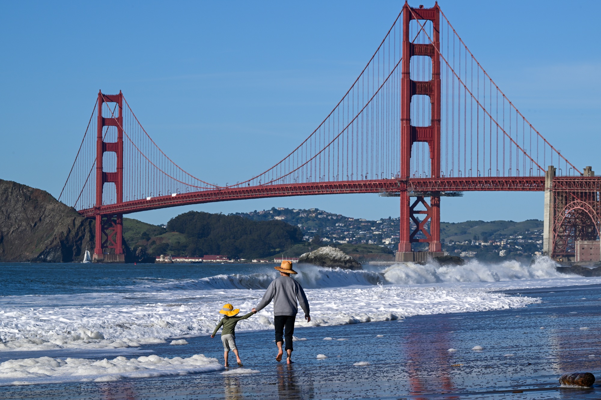
People enjoy Baker Beach near the Golden Gate Bridge during warm weather in San Francisco, California, on Feb. 26, 2025. After a streak of sunshine, forecasters said the skies will turn dramatically, with a 20% chance of thunderstorms across the entire Bay Area on Wednesday. (Tayfun Coskun/Anadolu via Getty Images)

The Bay Area’s weather this week is a tale of two extremes: warm sunny days and an atmospheric river storm that could bring multiple inches of rain.

San Francisco could reach nearly 80 degrees on Monday, before temperatures drop off by as much as 5 degrees on Veterans Day, still above seasonal averages. By Wednesday, forecasters expect a storm to roll in from the Pacific Ocean, bringing a range of rain possibilities.

“My friends, this is an atmospheric river, but we aren`t expecting days of intense rainfall,” Bay Area National Weather Service meteorologists wrote Monday in their daily forecast discussion. “Tuesday is really the last day to make any preparations to prevent roadway flooding or water damage.”

Sponsored

On the low end, the region’s bout of weather whiplash could bring less than an inch of rain across most of the region. But on the high end, meteorologists said nearly 2 inches of rain could fall from Santa Rosa to San Francisco. The highest peaks could see almost 3 inches of rain.

“We could see the higher end, especially if the frontal system were to stall,” said Roger Gass, a meteorologist with the weather service’s Bay Area Office. “That’s not out of the question.”

Forecasters wrote in an email update on Monday that the “bulk of this rain will fall on Thursday with minor urban and small stream flooding possible.” They noted that there’s a 5% chance of excessive rainfall for the coastal North Bay on Wednesday and up to a 20% chance of thunderstorms across the entire Bay Area on Wednesday into Thursday.

“Folks should be prepared for a wet system,” Gass said. “But we’re only expecting minor flooding concerns, especially in low-lying areas and flood-prone areas. We don’t anticipate any major river flooding.”

Weather experts measure the intensity of atmospheric rivers on a scale from 0 to 5. This week’s storm could reach a 3 across the entire Bay Area, according to atmospheric river-scale modeling by the Center for Western Weather and Water Extremes at UC San Diego’s Scripps Institution of Oceanography.

“It looks like it will be a fairly short-duration event, maybe less than forty-eight hours total,” said Chad Hecht, a CW3E meteorologist based in Sacramento. “But that’s not to say that we won’t see some potential for flash flooding or some urban roadways that pond, which could lead to some difficult travel.”

Wind is supposed to be the most significant factor during this atmospheric river storm. Forecasters expect gusts of up to 40 mph at most locations, and up to 50 mph at the highest peaks and the coastline.

Hecht also said the Sierra Nevada could get up to 4 inches of precipitation, with the highest elevations seeing some snowfall. Snow could “make travel across the passes quite difficult.”

Forecasters expect the storm to die down on Friday. Hecht said outside of lingering showers this weekend, there isn’t a “very strong signal for another atmospheric river right on the heels of this event.”

He said some models suggest activity could pick up around Nov. 22, but “with forecast models, anything can pop up in the long-term.”

lower waypoint
next waypoint