upper waypoint

Bay Area Braces for Above-Average Heat During 1st Week of Fall

Save ArticleSave Article
Failed to save article

Please try again

Beachgoers hang out on the beach at Crissy Field on May 14, 2014, in San Francisco, California. While it’s the first full day of fall, temperatures across much of the inland Bay Area could be up to 20 degrees above average. Forecasters expect the heat to be short-lived — for now. (Justin Sullivan/Getty Images)

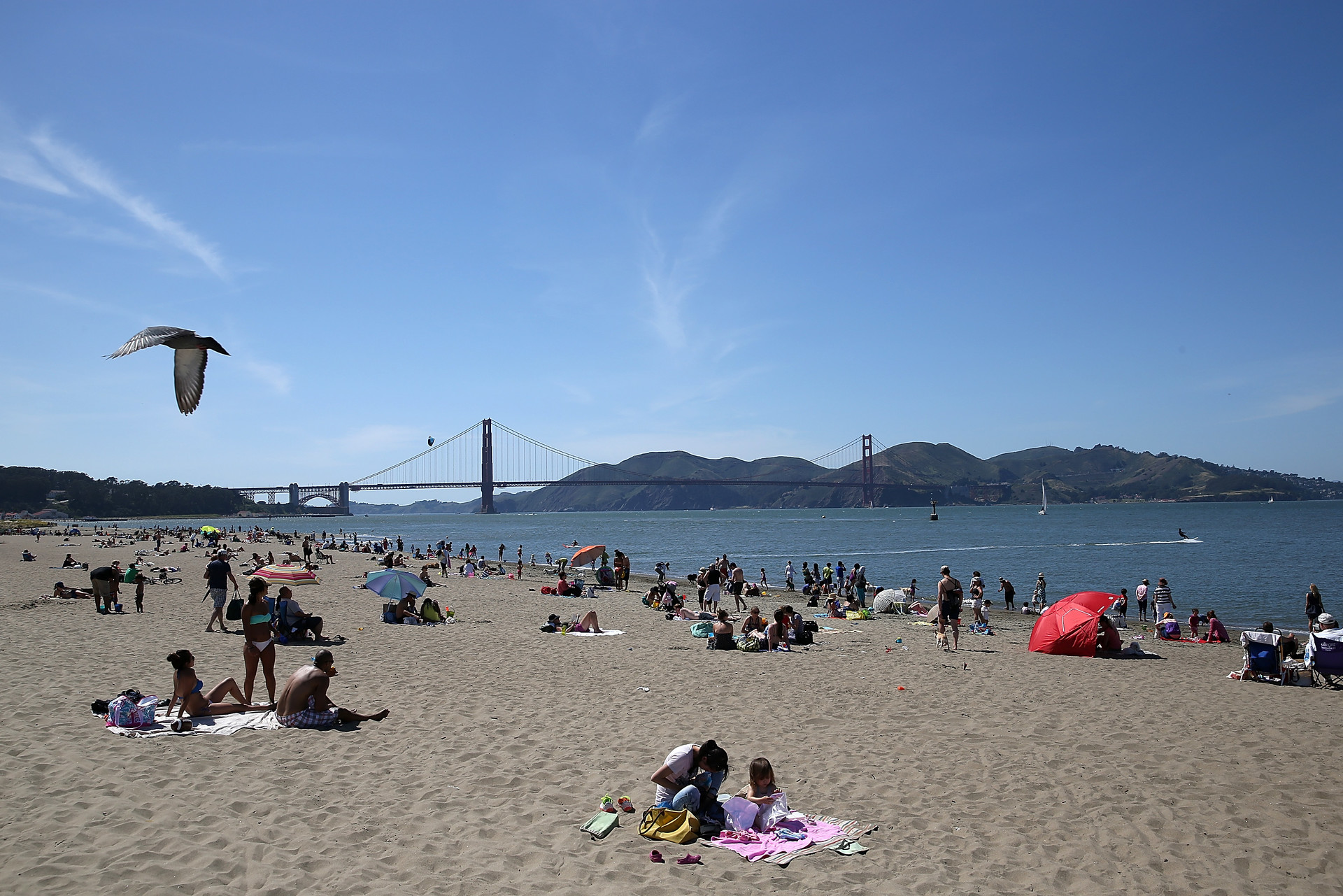
It’s the first full day of fall, and pumpkin patches are popping up around the Bay Area. But the crisp, cool air of autumn that usually accompanies fall activities will disappear for a few days this week as temperatures are forecast to spike in inland parts of the Bay Area and the Sacramento Valley.

“This is easily the warmest part of our month, but the heat we’re seeing is a little higher than our seasonal average,” said Dial Hoang, a meteorologist with the National Weather Service’s Bay Area office.

The weather service has issued a heat advisory through Monday at 8 p.m. for the interior East Bay, South Bay and Santa Cruz Mountains. Another heat advisory begins Tuesday at 11 a.m. for the East Bay hills and interior valleys and ends in the evening. Forecasters expect places like Livermore, Concord and Cloverdale to reach close to 100 degrees — 15 to 20 degrees above the seasonal average — and Sacramento to reach the triple digits.

Sponsored

Hoang said temperatures in San Francisco could spike into the 80s, which San Franciscans are used to in what many call the start of the city’s summer. Temperatures in San José could peak in the 90s.

“We encourage people to drink plenty of water, try to avoid outdoor activities during the afternoon and evening hours, and never leave children or pets unattended in vehicles,” said Hoang.

The sudden shift in temperature isn’t odd for this time of year. Forecasters said the warm-up is caused by a high-pressure system rotating counterclockwise north of the state and a low-pressure system spinning clockwise above Southern California. As these two systems spin, they push wind from onshore toward the ocean and decrease the amount of cooling coastal fog.

Farther inland in the Sacramento Valley and the Sierra Nevada foothills, highs could reach into the triple digits, said Kate Forrest, a meteorologist with the weather service’s Sacramento office.

“Temperatures might get a little steamy before we see a cooldown,” she said. “We also have some elevated fire weather concerns today and tomorrow.”

Forrest expects temperatures to be five to 10 degrees higher than the seasonal average in the Sacramento region. But the heat across Northern California will be short-lived — at least for now — because late Tuesday, a sea breeze will likely begin to drop temperatures by around 10 degrees along the coast and five degrees inland.

But the heat could return. As fall deepens, Forrest said the region is in a period of above-normal temperatures, “potentially even into the early first week of October.”

lower waypoint
next waypoint