The coronavirus pandemic has dramatically changed the landscape of California and the United States. Places that were regularly crowded are now empty. Landmarks and freeways that teemed with thousands of people every day before the outbreak are now mostly quiet. The satellite views below are from Planet, a San Francisco company.
|
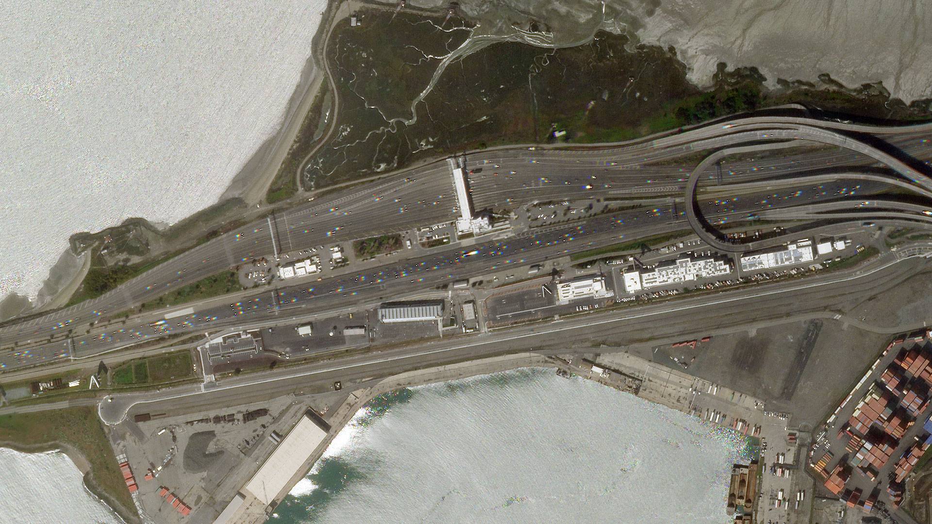
San Francisco Bay Bridge |
|
|
|
San Francisco International Airport |
|
|
|
Luxor Hotel & Casino, Las Vegas |
|
|
|
Hollywood Freeway |
|
|
|
Disneyworld Orlando |
|
|
|
Miami Beach |
|
|