Sponsor MessageBecome a KQED sponsor
upper waypoint

Bay Area Rain Finally Lets Up, With Colder Temperatures Ahead

Save ArticleSave Article
Failed to save article

Please try again

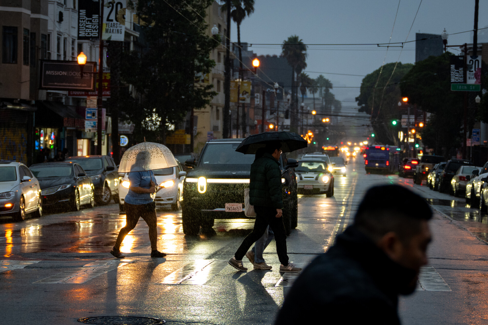
Pedestrians cross Mission Street in San Francisco on Dec. 23, 2025, as a storm system moves through the Bay Area. After weeks of storms and flooding, forecasters expect the Bay Area’s weather to dry out and return to a wintry chill.  (Beth LaBerge/KQED)

After weeks of on-and-off rainfall across the Bay Area, clear skies appear to be on the horizon.

Monday’s showers seem to be the last of a series of storms that have blown through the region since just before Christmas, accompanied by widespread flooding, power outages and — finally — snow in the Sierras.

While the dryer conditions might be a welcome reprieve, National Weather Service meteorologist Roger Gass said they’ll be accompanied by a return of the chilly temperatures that marked early December’s forecast.

Sponsored

“Temperatures will turn colder,” he said. “We will see 30s return to the North Bay valleys and the city [San Francisco] itself will be generally in the mid -to-lower 40s, beginning on about Thursday morning.”

Since mid-December, the Bay Area has been hit with significant rainfall, with totals upwards of 130% of annual averages for this time of year in some parts of the Bay Area, according to the National Weather Service.

The weather has led to road closures and widespread flooding in Marin, Sonoma, San Mateo and San Francisco counties this weekend, as the rainfall coincides with historic king tides across the Bay Area. Storms over the holidays also sparked flash flood warnings, downed trees and poles and caused power outages throughout the region.

Lake Tahoe’s snowpack has also caught up with its usual numbers after a slow start to the season. While some ski resorts in Lake Tahoe had delayed their opening this season due to dry conditions through mid-December, over the Christmas week, more than 6 feet of snow fell on slopes across the sierras.

The latest storm has dropped another 4 feet of fresh powder at Sugar Bowl Ski Resort near Truckee over the last three days, according to National Weather Service Meteorologist Jeffrey Wood.

Although the next week or so looks pretty dry, he said the snow that’s accumulated in recent storms has built a pretty solid foundation — and is expected to stay.

“We have now reached the median snowfall for the 2026 water year,” Wood told KQED. “All it took was a couple of cooler storms to get the snow to pile up.”

The median snowfall for Jan. 5 is 115.55 inches. As of today, 2026’s total is 115.75, according to Wood.

“So doing pretty good, right on par there,” he said.
lower waypoint
next waypoint
Player sponsored by