upper waypoint

California Weather to Get Colder and Rainier After a Hint of Spring

Save ArticleSave Article
Failed to save article

Please try again

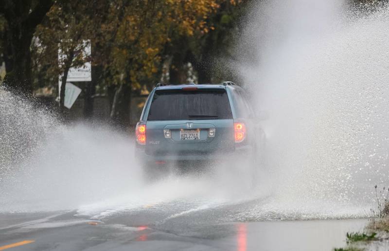
A car drives through a puddle on Piner Road in Santa Rosa during an atmospheric river storm affecting the Bay Area on Nov. 22, 2024. Rain is dotting the forecast for the Bay Area and other parts of the state this week, but monitoring it could be more difficult after a weather service radar went down. (Gina Castro/KQED)

The Bay Area’s sunny spring weather last week seems to have been a tease, with rain dotting the current forecast while meteorologists warn that the first half of the month at least looks dreary.

“It looks like we’re gonna be cold and wet,” said Dylan Flynn, a meteorologist at the National Weather Service’s Bay Area office. “Colder than average and wetter than average, at least through the middle of the month.”

After some early morning rain on Monday, the rest of the day should be pretty dry across the Bay Area, with only slight chances of spotty showers in Monterey County. When the rain returns later in the week, it will be unusually focused on Southern California, dropping just about an inch across Northern California counties that bore the brunt of February’s winter weather.

Sponsored

The National Weather Service said there’s about a 50% chance the Bay Area will get light rain on Tuesday before the odds increase throughout Wednesday and into Thursday morning.

Most of the rainfall will occur south of San José, and the Santa Cruz Mountains and Monterey’s Santa Lucia Mountains could get about an inch of rainfall. Throughout the north and east Bay Area and San Francisco, just about a quarter to half an inch could fall.

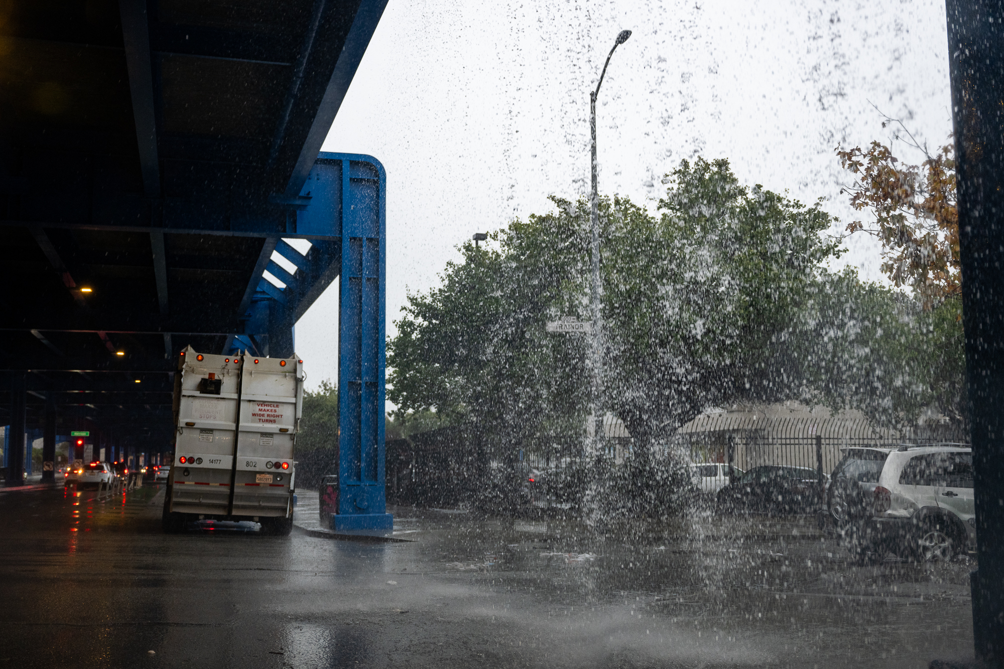
Water spills over the Highway 101 overpass in San Francisco on Nov. 22, 2024, during a storm bringing heavy rain and strong winds to the Bay Area. (Beth LaBerge/KQED)

Monitoring the rainfall in the Santa Cruz Mountains over the next few days could be more difficult than usual after the NWS’s radar on Mount Umunhum, just south of San José, went down Saturday. It is one of 160 radars across the state that help meteorologists track rainfall by examining particles in raindrops and snow.

“Some of our components wore out, and we needed to order replacements, so as soon as the replacements come in, we’re sending our technicians up to get it repaired,” Flynn said. He said it’s not uncommon for the radars to need maintenance, especially since they are often on mountaintops and spin constantly.

“It’s unfortunate when we don’t have a replacement part on hand, and there’s rain also coming because that’s where we really rely on the radar to see through the clouds and what’s happening in the rain,” Flynn told KQED.

He said that the replacement part is expected to arrive in the next day or so and that NWS is working to have the radar repaired before the next round of rain begins Wednesday.

Flynn called the series of showers “beneficial rains” that won’t mirror February’s deluges — less than half an inch of rainfall is predicted throughout most of the Bay Area, and the San Mateo and Santa Clara coasts are expected to top out at about one inch.

These are “amounts that are noticeable, measurable, might not be the most comfortable thing to go and walk your dog in, but it’s not a big flooding concern,” Flynn said. “It more helps fill up the reservoirs, it’s good as we get to the drier months ahead for the state.”

Unlike the atmospheric river-fueled storms that have dominated the Bay Area’s winter weather so far, this series will bring more evenly distributed rain throughout the state, with the low-pressure systems hanging in the Central Valley and reaching Southern California. The storms will also be considerably colder since there’s less moisture gathering in the air.

That means the Sierra Nevada can expect significant snowfall throughout the week after getting 6 to 12 inches around the mountains this past weekend.

“I would assume it’ll [be] pretty much on par with what we got over the weekend for each of these [systems],” Flynn said.

Friday and Saturday should be dry — though cold and windy — before rain returns Sunday, dropping up to an inch of rain across the Bay Area. Flynn said the National Weather Service is starting to see hints that a larger storm system could be gearing up to hit the region in the middle of next week.

“Enjoy the short periods of dry weather,” the NWS’s forecast discussion said Monday.
lower waypoint
next waypoint