upper waypoint

Storm Linked to 2 Sonoma County Deaths as Another Round of Rain Hits Bay Area

Save ArticleSave Article
Failed to save article

Please try again

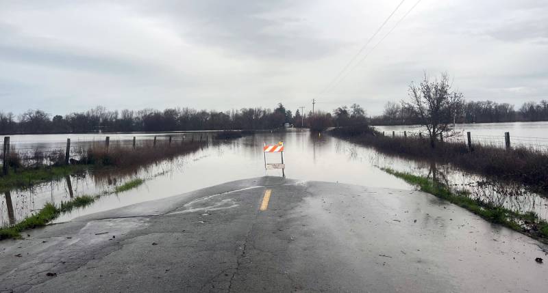
A photo of Hall Road in Santa Rosa, California, posted to the Sonoma County Sheriff Facebook page on Feb. 6, 2025.  (Courtesy of Sonoma County Sherif)

Two storm-related deaths were reported in Sonoma County in the last 24 hours as rivers swelled and another round of rain moved in, authorities said Thursday morning.

Around 4:40 p.m. Wednesday, deputies and firefighters responded to a report of a person dead in a culvert on the 7700 block of Franz Valley Road in Santa Rosa, the Sonoma County Sheriff’s Office said in a social media post. Fire personnel from the Northern Sonoma County Fire District removed his body.

Around 7 a.m. Thursday, deputies working with firefighters and the California National Guard recovered another body from the 5800 block of Hall Road in Santa Rosa.
Sponsored

Neither man’s identity was released pending notification of family.

The deaths were reported as another round of showers began to soak the Bay Area on Thursday, raising the risk of further flooding and landslides, particularly in the North Bay, where all schools in the Guerneville School District remained closed, and some homes in Santa Rosa and nearby areas were evacuated Wednesday.

After the Russian River and a few central Sonoma County creeks reached moderate flood levels on Wednesday morning, the Russian River at Guerneville had receded to the lower end of the minor flood zone when the rain began around 7 a.m. Thursday, according to the National Oceanic and Atmospheric Administration.

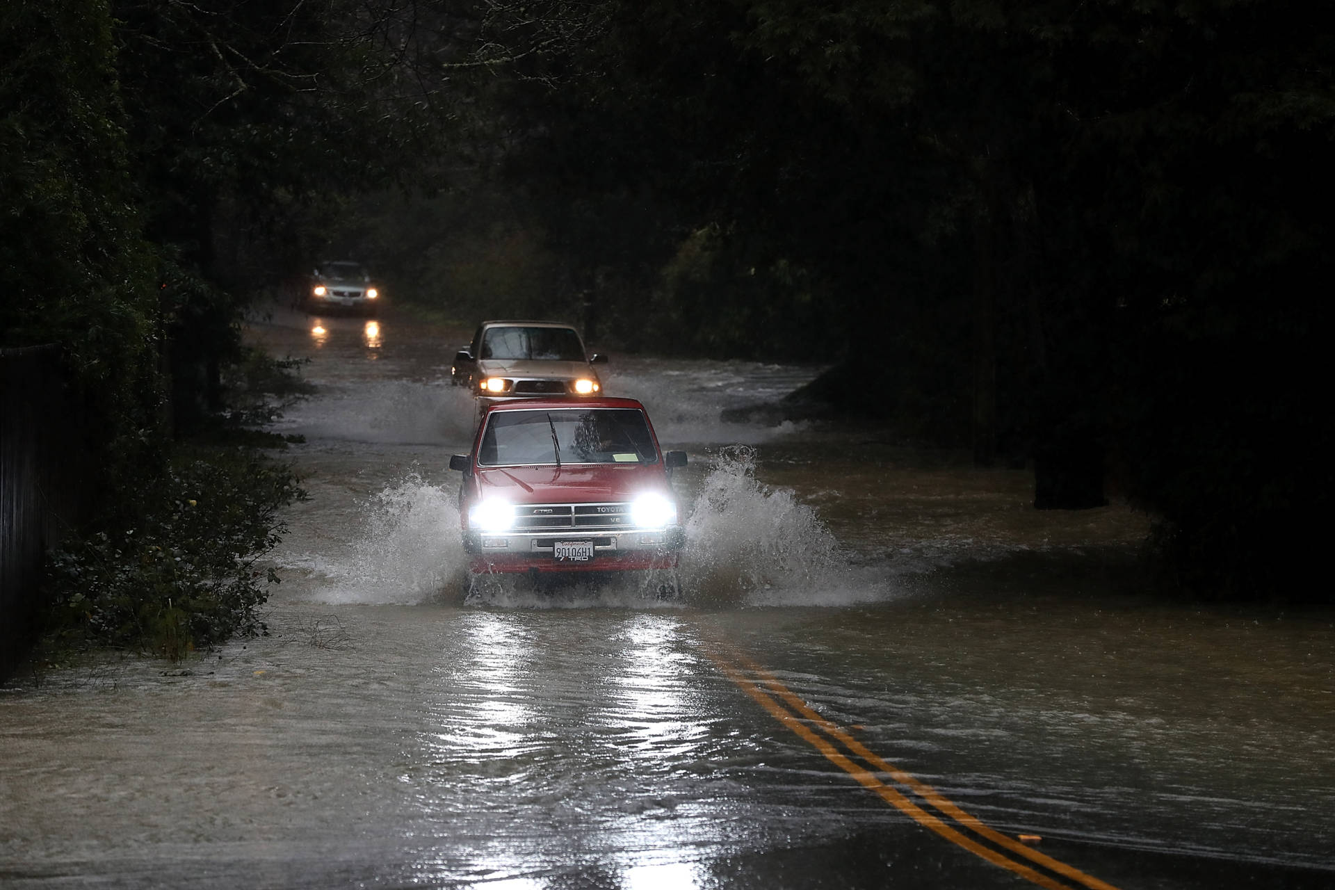
Cars drive on a flooded road in Guerneville in January 2017. The Russian River town is just downstream from Venado, a site in the northern Sonoma County hills that is one of the rainiest locations in California. On Tuesday, at least one school in Guerneville closed because of the storm, and Sonoma County alerted residents in multiple RV parks along the Russian River and creeks that flow into the waterway that flooding may occur. (Justin Sullivan/Getty Images)

Water levels are expected to continue to decrease throughout the day since the North Bay — which was hit hardest by the previous two storms — is expected to get just about an inch of rain while the East Bay and San Francisco pick up about a half-inch.

The storm won’t rival those earlier in the week, but it could bring another inch or a few of rainfall and gusty winds up to 55 miles per hour as it sweeps over Northern California throughout the day.

The National Weather Service is forecasting consistent precipitation throughout the day, trailing off late Thursday night. While showers should be moderate, meteorologist Roger Gass said there’s a slight thunderstorm risk in the afternoon.

“I would say there’s anywhere from 10%–15% [chance], so not very significant, but I wouldn’t rule out a rumble of thunder here and there,” he told KQED.

The South Bay could see the highest rainfall totals from Thursday’s storm.

“The biggest winners are going to be in the Santa Cruz Mountains and the Santa Lucia range, where we could see up to about 4 to 4 ½ inches,” Gass said. “In the Santa Cruz mountains, anywhere from 2 to 3 [inches].”

Winds could reach up to 50 mph at lower elevations, picking up in the afternoon and evening, and stronger gusts could hit higher elevation areas.

The weekend forecast looks clear, and there’s a 90%–100% chance of fresh snow in the Sierra for the ski-bound.

Next week, the National Weather Service expects a return of rain and unsettled conditions, which could last through most of the work week.

lower waypoint
next waypoint