upper waypoint

Bay Area’s Dry January Is Ending With a Pair of Atmospheric River Storms

Save ArticleSave Article
Failed to save article

Please try again

(From left) Matthew Macale, Jasmin Macaraeg and Keizha Macale take photos at the Vista Point overlook near Golden Gate Bridge north of San Francisco on Nov. 22, 2024. Rain is coming to Northern California starting as early as Thursday night, with days of wet weather expected through the weekend and into next week. (Beth LaBerge/KQED)

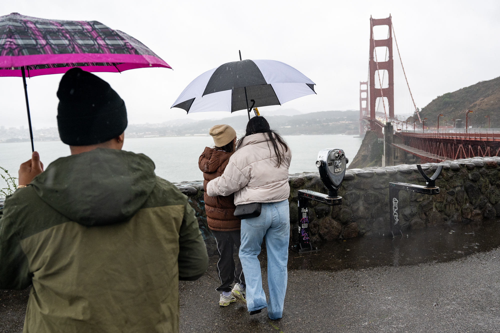
The Bay Area’s dry spell is coming to an end as soon as Thursday night, with days of wet weather expected through the weekend and into next week.

According to the National Weather Service, two atmospheric river-fueled storms are set to pass through the region over the next six days, first bringing moderate to heavy rain to the North Bay and San Francisco areas by Friday morning, then extending farther south into Santa Cruz and Monterey next week.

“We’re just seeing an overall pattern change from the persistent ridging over the West Coast that kept us dry for so long,” said Joe Merchant, a weather service meteorologist. “We’re seeing a shift in that pattern back to a much more unsettled pattern across our area. As a result, we’re seeing storms, instead of being steered around our area to the north, they’re able to move inland farther south across our area.”

Sponsored

The first of the disturbances is set to hit the Bay Area on Thursday night or early Friday morning, coming from the Pacific Northwest. The North Bay, San Francisco and East Bay will be hit by spurts of moderate to heavy rainfall through the weekend, totaling about 4 to 6 inches in the north and between 2 and 3 elsewhere. San José could see 1 to 3 inches as well.

After a short reprieve late in the weekend, a second atmospheric river bringing more rain to the whole Bay Area will hit Monday through at least mid-week.

Dean Levy and his 1-year-old son, Owen, look at fallen Eucalyptus trees caused by last weekend’s storm, which brought heavy rain and wind, in the Outer Richmond neighborhood of Golden Gate Park, in San Francisco on Dec. 16, 2024. (Gina Castro/KQED)

Sunday will be less rainy, Merchant said, though there could still be spotty showers before heavy rain resumes with the workweek. So far, high winds don’t appear to be a concern throughout the storms, but as the days go on, he said the risk of local flooding will increase.

“The first round may not bring enough moderate to heavy rain for flooding concerns, but once we start piling up day after day of half-inch rain over a six-hour time period, flooding is going to ultimately be a concern,” Merchant said. “By the end of the week and into the beginning of next week, we’re not sure exactly where that will occur yet, but especially in the North Bay, we are expecting to see some issues with swollen rivers and streams.”

The timing of rainfall in the Bay Area this weekend is still coming into focus, Merchant said, adding that people should check local forecasts for updates in the next few days, especially in flood-prone areas.

It isn’t clear whether the wet week will usher in a rainy February, but he said the weather pattern in the Bay Area is certainly shifting that direction.

“We’re pretty confident that our entire region, through the [end of the] extended forecast, is going to get some meaningful rainfall,” he told KQED. “Right now, we’re still not exactly sure on the timing of when those periods of moderate to heavy rain will occur.”

The series of storms is good news for skiers and snowboarders, as snowfall totals in the Sierra could hit double digits by Wednesday.

The National Weather Service is predicting up to a 70% chance of more than 4 inches of snow in Donner Pass before Saturday night, and at the top peaks of the Tahoe-area mountains, there is at least an 80% chance of 12 to 24 inches of snow during the second storm early next week.

Southern California could also see some much-needed rain during the second atmospheric river as it continues to recover from the deadly Palisades and Eaton fires.

lower waypoint
next waypoint