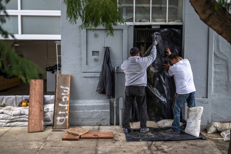
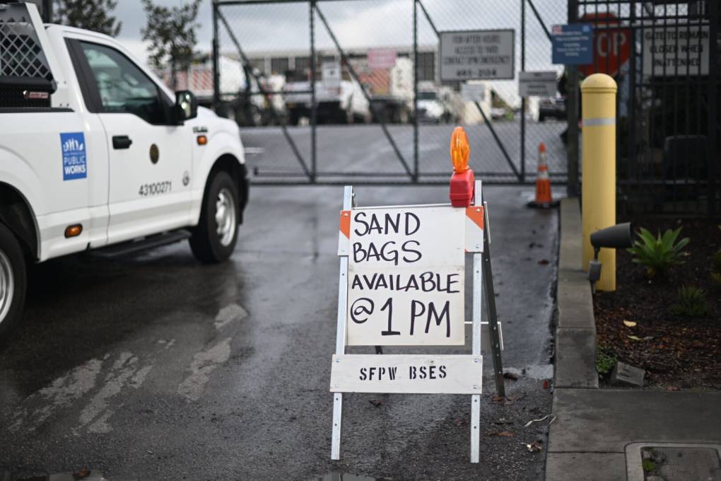
As wind gusts picked up late Wednesday morning, the Bay Area braced for another dangerous winter storm that's expected to pummel much of Northern and Central California this afternoon, and continue into Thursday morning.
The squall, set to slam a region already saturated by a deluge on New Year's Eve, is forecast to cause widespread flooding, along with washed-out roads, power outages from downed trees, and the "likely loss of human life," the National Weather Service said. With nearly all of Northern and Central California under flood watches and high-wind warnings, the agency warned of "impassable roads, mudslides/landslides [and] rapid rises in rivers/creeks," and took the unusual step of advising residents to prepare "go-bags" and insurance documentation in advance.
"When the main cold front comes through later this afternoon and into the evening hours as it sweeps across the Bay Area, that's when we are going to see the heaviest rainfall and the strongest winds," said NWS meteorologist Roger Gass. "And along with that, we're going to see those wind [gusts] increase to about 60 mph in some of the coastal locations as well as in the higher terrain of the region."


