The Bay Area and a wide swath of California are about to get a very wet, windy, cold reacquaintance with winter.
After a season that’s featured little rain and long stretches of unseasonably warm weather, the National Weather Service says a storm rolling into the region Tuesday afternoon will bring periods of heavy rain and high winds to the entire Bay Area.
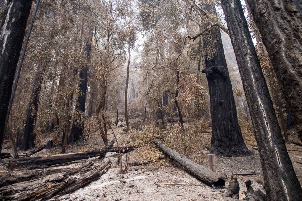
The storm, fueled in part by an atmospheric river wafting across the Pacific, could bring a prolonged deluge to areas burned by last year’s epic wildfires.
The potential for massive debris flows in the fire zones led officials in Santa Cruz County to issue mandatory evacuation orders early Monday to about 5,000 people living in flood-prone areas near the CZU Lightning Complex burn scar.
Brian Garcia, warning coordination meteorologist with the National Weather Service’s Bay Area office in Monterey, said Monday that areas in the Santa Cruz Mountains could get a foot of rain.
“The message I want to really drive home for people is if you are in an area that is on or near a burn scar and your county has put you on an evacuation warning or an evacuation order, take that seriously,” Garcia said.
Santa Cruz County has set up temporary evacuation points at San Lorenzo Valley High School in Felton, Scotts Valley Community Center in Scotts Valley and Pacific Elementary School in Davenport. The county has also set up a call center at (831) 454-2181.