upper waypoint

On Tap This Weekend: Rain Across Northern California and Snow in the Sierra

Save ArticleSave Article
Failed to save article

Please try again

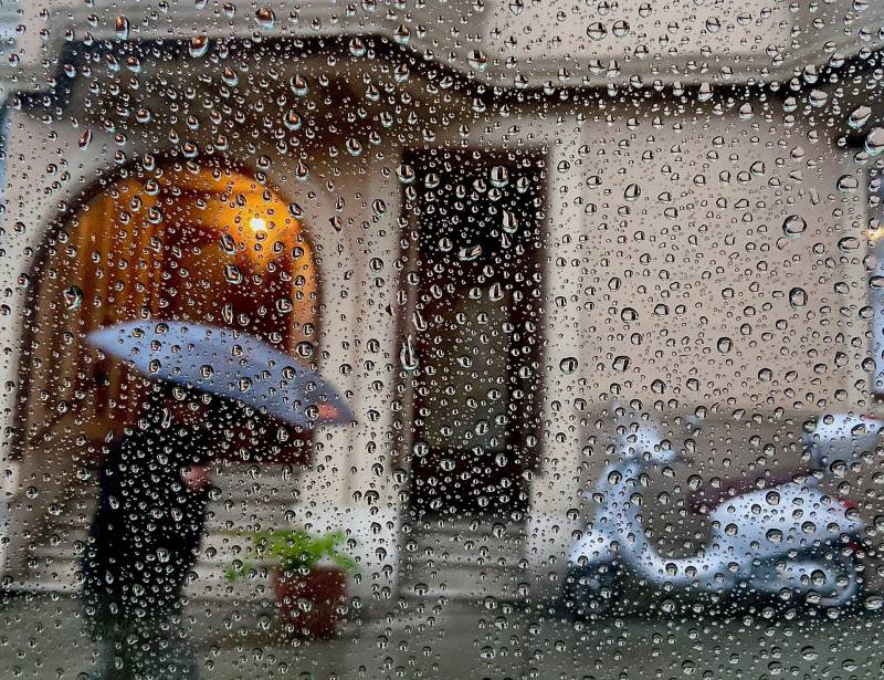
Rain falls in the Noe Valley neighborhood of San Francisco on Dec. 1, 2019. (Annelise Wunderlich/KQED)

Rain. That sweet, sweet rain.

After six long months with hardly a drop of precipitation, a storm front will push down from the Gulf of Alaska on Friday. Which is set to bring light rain, cold temperatures and blustery winds across Northern California even dropping snow on the Sierra, according to the latest forecast from the National Weather Service.

The Weather Service forecasts temperature highs in the 50s and lower 60s across the Bay Area Friday, with 25-35 mph wind gusts likely.

While the muchneeded precipitation could turn the dial down on fire risk in California, it likely won’t be a fire-season-ending deluge. The Weather Service forecast says rainfall amounts will range from a tenth- to a quarter-inch along the central coast south of San Francisco, and even less for the North Bay.

Sponsored

“Any temporary structures/tents and other outdoor items should be secured today,” the forecast says. “In addition, fire weakened and any diseased/drought stressed trees may be impacted by this first strong cold frontal passage of the season.”

The light rain will bring some relief after a summer of devastating wildfires; record-breaking heat waves; and the hottest August, September and — early data suggests — October ever recorded.

UCLA climate scientist Daniel Swain wrote on his blog that “measurable precipitation is *possible* just about anywhere in the state, but will likely be most widespread and substantial 1) in the Sierra Nevada, where the first significant accumulating snowfall of the season is likely, and 2) along the immediate coast, especially in far NorCal and far SoCal.”
Swain also noted that several long term models suggest more — and more substantial — rain might blanket the state by mid-November.

lower waypoint
next waypoint