upper waypoint

Bay Area Gets Its First Real Rain of the Season

Save ArticleSave Article
Failed to save article

Please try again

National Weather Service radar image of storm that moved south through the Bay Area early Monday. (National Weather Service)

Updated 10 a.m. Tuesday, Nov. 3

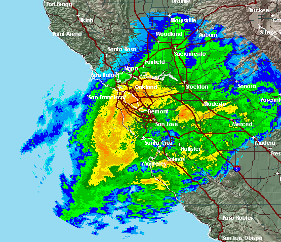
The Bay Area's first storm of the season -- the first real storm -- rolled across the region overnight, bringing a healthy soaking to hills and valleys alike.

According to National Weather Service reports, some of the rainiest locales as of 8 a.m. Monday included Mount Diablo, with 1.19 inches since the storm's onset late Sunday; a reporting station on Vollmer Peak in the Berkeley Hills, which recorded 1.12 inches; Livermore, which got 1.08 inches; and Redwood City, with .96. (See the complete NWS list of Bay Area rainfall totals for the storm.)

Most other locales around the region had totals ranging from about a quarter to three-quarters of an inch by 8 a.m. Downtown San Jose recorded .83, San Francisco International Airport .41 and Oakland International Airport .34.

PG&E reported that the storm had knocked out power to 2,730 customers as of 8 a.m. The wet weather was also causing delays of 45 minutes for arriving flights.

Sponsored

The system dropped much heavier totals elsewhere, including more than 2 inches in parts of Humboldt and Del Norte counties on the North Coast and between 1.5 and 2 inches between Interstate 80 and U.S. 50 in the Sierra Nevada.

Snow levels started out near 9,000 feet in the Sierra but had dropped to below the level of the mountain passes by dawn. Forecasters said the heaviest snow should fall Monday from late morning into the afternoon.

Chains are required on U.S. 50, the main route from the Bay Area to Lake Tahoe, across Echo Summit. Chains are also required on Highway 88, across Carson Pass. Chains were not required on Interstate 80 across Donner Summit, although trucks are being checked to make sure they are carrying chains.

The storm is forecast to drop from a few inches of snow near the mountain passes up to 18 inches at the highest elevations of the southern Sierra.

Here in the Bay Area, the storm is forecast to move quickly to the south through the morning. Partly cloudy skies and a chance of showers and thunderstorms are expected later in the day, along with gusty northerly winds -- up to 35 mph along the coast.

We're in for cooler weather, too, with highs in the low- to mid-60s on Tuesday and lows in the 40s and 50s for the next couple of days, followed by a bit of a warmup through next weekend.

When will the next storm sweep across the region? The National Weather Service says there's only a remote chance of rain for the coming week.

lower waypoint
next waypoint
California Law Letting Property Owners Split Lots to Build New Homes Is 'Unconstitutional,' Judge RulesAlameda: The Island That Almost Wasn’tJust Days Left to Apply for California Program That Helps Pay for Your First HouseFresno's Chinatown Neighborhood To See Big Changes From High Speed RailIn Fresno’s Chinatown, High-Speed Rail Sparks Hope and Debate Within ResidentsRainn Wilson from ‘The Office’ on Why We Need a Spiritual RevolutionWill Less Homework Stress Make California Students Happier?State Prisons Offset New Inmate Wage Hikes by Cutting Hours for Some WorkersSilicon Valley House Seat Race Gets a RecountWorried About Data Brokers in California? Here’s How to Protect Yourself Online