[http_redir]
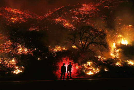
A series of large wildfires fanned by strong Santa Ana winds continued to ravage wide swaths of Southern California on Friday. The six active blazes burning in Ventura and San Diego counties have already destroyed hundreds of structures and forced more than 200,000 residents to evacuate.
Wildfires of this size are historically very rare in December. 2017 is now the deadliest, most destructive wildfire year on record in California. The blazes ignited less than two months after deadly Northern California fires wreaked havoc in Sonoma and Napa counties.
This is an automatically updated map of fire perimeters and reports from Cal Fire. Below that are closeups of the Thomas, Creek, Rye and Lilac fire perimeters and animated timelines of their spread this week.
