California is feeling the burn big time.
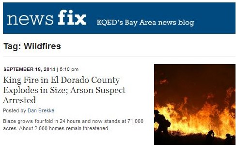
As of September 18, about a dozen major wildfires were raging across the Golden State. That includes the massive King Fire near Lake Tahoe, which burst out of control this week just as firefighters began to contain another formidable blaze north of Redding. The King Fire has already burned more than 70,000 acres in El Dorado County, threatening thousands of homes and leading to the evacuation of nearly 3,000 people. Officials on Thursday arrested a 37-year-old man on suspicion of arson in connection with the fire.
As expected, this has been rough wildfire season for the drought-stricken state and other dry parts of the West. To explore the topic in greater depth, scroll through this collection of resources from the Lowdown and other sources.
1. Real-time fire tracker map: see what's burning right now
This map was created and remains continually updated by CAL FIRE, whose site provides current fire information. Additionally, the National Interagency Fire Center is a good resource for information on fires burning around the country.

