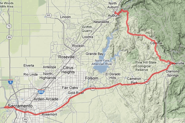
Here’s a way to turn the routine roar up I-80 into a jaunt through part of the Mother Lode in Placerville. If you like warmth, the Sierra foothills can give you heat, but this side trip also takes you places to cool your feet.
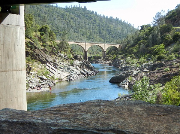
The route starts with US Route 50, which splits off I-80 just west of Sacramento. I covered the first part of this stretch in the Folsom-to-Loomis side trip. On this trip, though, you stay on 50 to Placerville, then strike north across the watershed of the American River to Auburn, where I-80 is the ridge route to the crest of the Sierra Nevada. With minimal stops it takes a couple hours, but there are lots of places to linger.
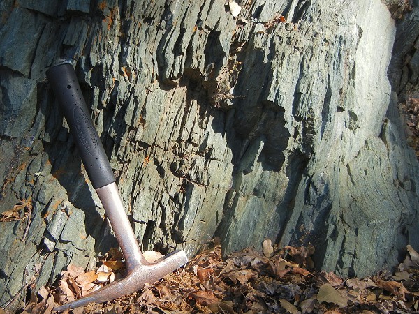
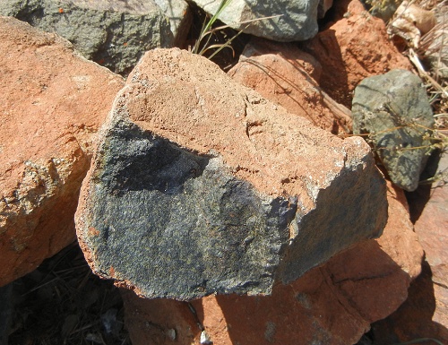
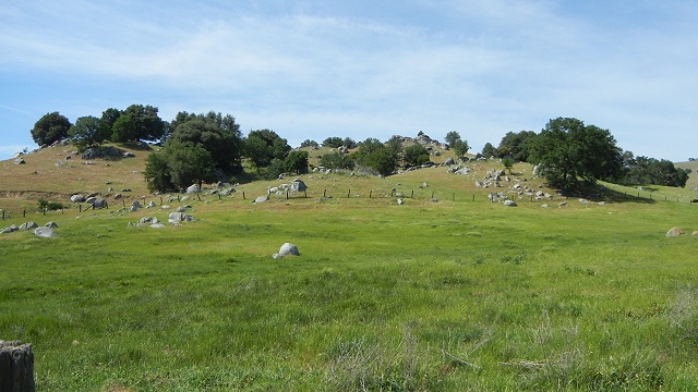
Once past Folsom, the road starts to climb into the Sierra foothills. The big range has a wide western fringe of older rocks, much of them about 160 million years old from Jurassic time. The great batholiths of white Sierran granite are farther east, where this older cover has mostly eroded away. The rocks you’ll see are the type that yielded California’s hard-rock gold. Here’s the geologic map of that part of the route.
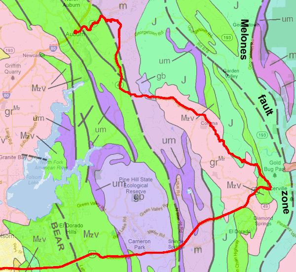
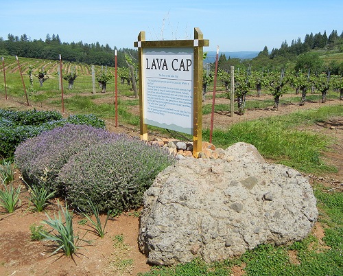
The Mother Lode is a string of gold-bearing quartz veins and related rocks that stretches along the Melones fault zone. That’s where Placerville is. This route also goes through Coloma, where the Gold Rush began in 1848. That gold was nuggets in the river gravel, or placer (“PLASS-er”) gold.