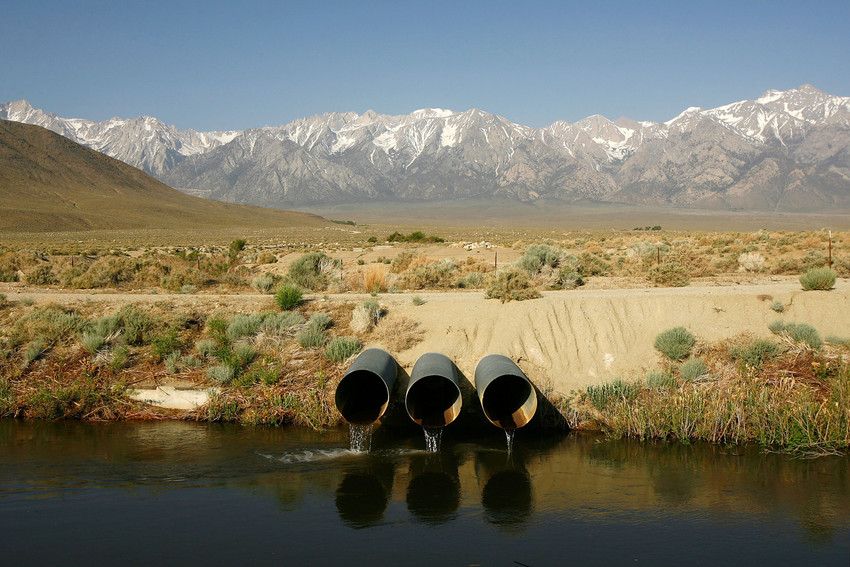
The drought that is devastating California and much of the West has dried the region so much that 240 gigatons worth of surface and groundwater have been lost, roughly the equivalent to a 3.9-inch layer of water over the entire West, or the annual loss of mass from the Greenland Ice Sheet, according to the study.
While some of California’s mountains have risen by about 0.6 inches since early 2013, the West overall has risen by an average of about 0.157 inches.
“Groundwater is a load on the Earth’s crust,” said Klaus Jacob, a seismologist at Columbia University’s Lamont-Doherty Earth Observatory in Palisades, N.Y., who is unaffiliated with the study. “A load compresses the crust elastically, hence it subsides. When you take that load away (by the drought) the crust decompresses and the surface rises. From the amount of rising, one can estimate the amount of the water deficit.”
The drought-related uplifting was discovered when researchers were analyzing data from GPS stations within the National Science Foundation’s Plate Boundary Observatory. One researcher noticed that all of the GPS stations moved upward since 2003, coinciding with the timing of the current drought.
But most of the movement occurred since last year as the West’s drought has become more and more extreme, said Duncan Agnew, a professor at the Institute of Geophysics and Planetary Physics at the Scripps Institution of Oceanography at UC-San Diego, and a study co-author.
“The implications of this have yet to play out,” Agnew said. “What we’ve shown is that there is a measurement technique we can use to get a total water loss — water loss in places where we have no direct measurements.”
He said such uplifting likely occurs in every drought, but it has never been observed before because scientists did not have the tools to detect the uplifting until now.
“That’s why this study is interesting,” Agnew said. “We can use this set of tools, which were installed for a different purpose in order to monitor water changes.”
He said the uplifting likely has no significant effect on earthquake potential in California and elsewhere even though loss of ground and surface water has added stress to major faults in the region.
“The total amount of stress that’s been added in the last 18 months from drought is the same amount of stress that’s added every week because of plate techtonics,” he said.
Jacob said the study shows that the changes in the elevation of the landscape and the stress on faults are so small the effect will be extremely minor.
But, Jacob said, the significance of the study is that it shows a new way for scientists to estimate total water loss during times of drought, which would be more difficult to estimate without being able to detect how much the land is being uplifted in dry years.
Climate Central is an independent organization that researches and reports on climate change.