Sponsor MessageBecome a KQED sponsor
upper waypoint

Bay Area Turns Up the Heat as Dry Lightning Looms Later This Week

Save ArticleSave Article
Failed to save article

Please try again

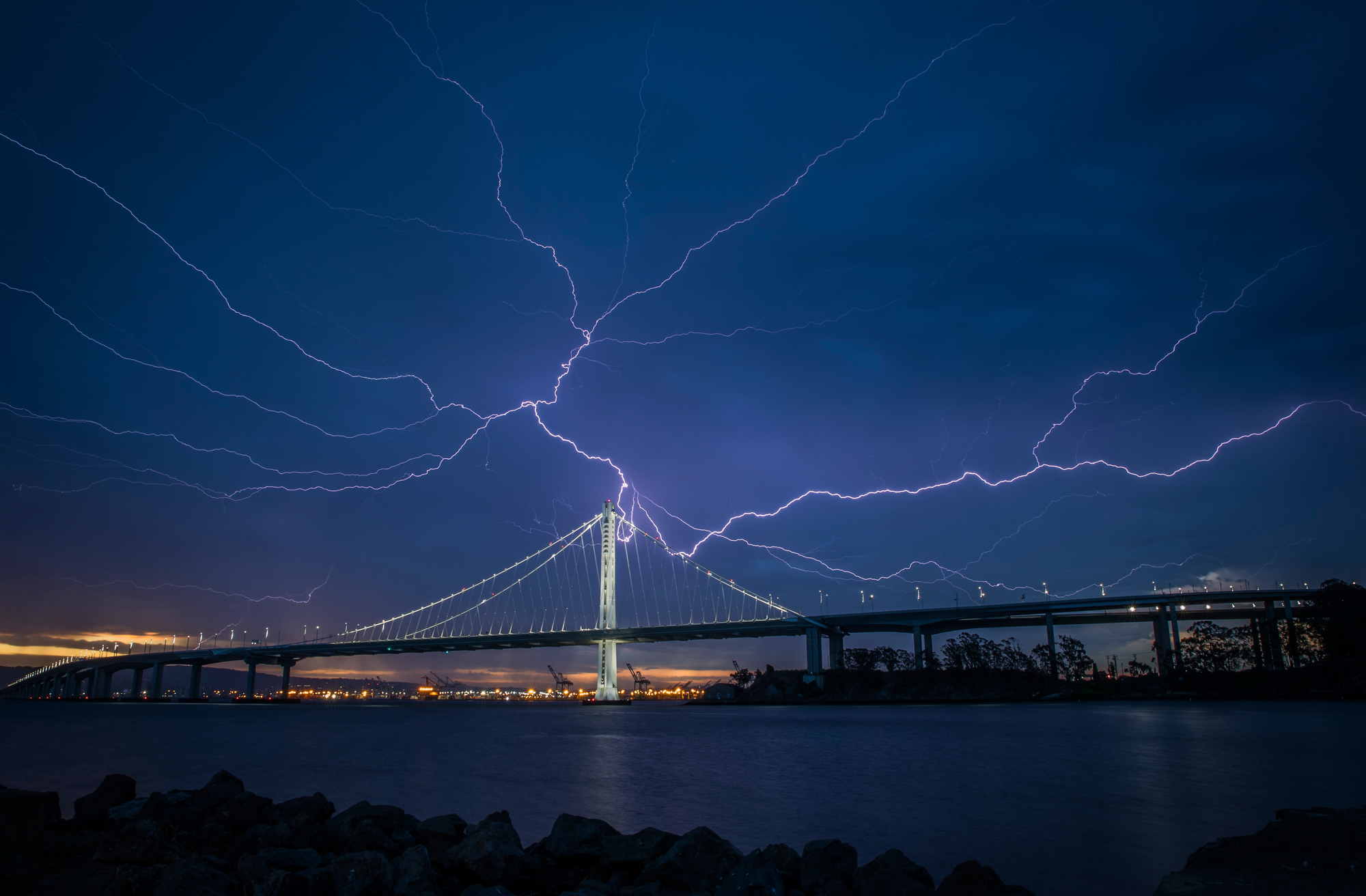
Lightning illuminates the sky over the eastern span of the Bay Bridge in San Francisco on August 16, 2020. (Carlos Avila Gonzalez/The San Francisco Chronicle via Getty Images)

Above average heat. A baby Karl the fog. Dry lightning. That’s the story meteorologists are forecasting through Friday for the entire Bay Area.

A high-pressure system moving into the region is causing the three-day warmup on Monday through Wednesday, with offshore winds keeping the marine layer at bay and allowing incoming tropical moisture to gradually enter the atmosphere.

Later this week, the fire risk increases after days of heat due to the chance of thunderstorms and dry lightning.

Sponsored

Forecasters expect Tuesday to be the hottest day of the week with temperatures about 5 degrees above average along the coast and 15 degrees above average inland. The National Weather Service issued a moderate heat risk warning through Wednesday, which means the general public should be able to handle the warmth. Still, sensitive groups, such as older adults and children, should exercise caution.

“We’ve had hotter temperatures so far this summer, so we’re really not considering a heat advisory at this time unless it were to be significantly warmer,” said Roger Gass, a meteorologist with the weather service’s Bay Area office.

The strength of offshore winds will help determine how hot coastal areas will become through Wednesday. Forecasters said San Francisco could reach into the low 80s, while places like Santa Rosa, Livermore, Concord and San José could all get into the 90s.

Higher elevations may not cool below 70 degrees overnight inland, and forecasters expect relative humidity to be low, which would aid in drying out grasses that could easily burn if ignited.

“We’re not expecting really strong offshore winds at this time, which should keep the conditions cooler near the coast, but it’ll still be warm,” Gass said.

However, the weather service anticipates conditions to shift on Thursday as tropical moisture moves into the region, increasing instability and potentially bringing thunderstorms. The primary concern is that the storms could bring dry lightning and erratic, gusty winds.

“These conditions could lead to new fire starts, especially given the increasingly dry fuels across the region,” meteorologists wrote in the weather service’s daily forecast email.

Still, Gass said the dry lightning is not a certainty, and he expects Thursday and Friday to “generally trend wetter” due to the amount of moisture entering the region later in the week. Gass also expects the weather to cool down this weekend and early next week.
lower waypoint
next waypoint