upper waypoint

‘Hottest Event of the Year’: Bay Area Braces for Elevated Heat — and High Tides, Too

Save ArticleSave Article
Failed to save article

Please try again

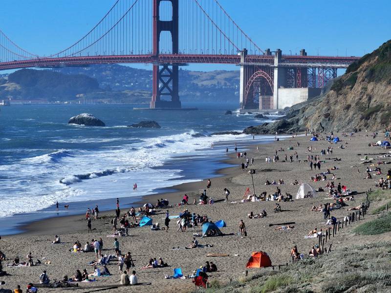
People enjoy the warm weather at San Francisco's Baker Beach on June 4, 2024, as a heat wave warning sweeps across California. Bay Area weather forecasters expect increased heat and wildfire risks by the end of this week. They also warned of minor flooding risks from high tides on Tuesday night.  (Tayfun Coskun/Anadolu via Getty Images)

After milder weather over Memorial Day weekend, the Bay Area is forecast to see its hottest temperatures of the year later this week.

With highs pushing triple digits in the warmest parts of the region on Friday, National Weather Service meteorologists are encouraging residents to prepare for wildfire risk and moderate to major heat risks.

Forecasters also warned of minor flooding risks along the bay shoreline on Tuesday night, due to high tides expected to peak at 6.88 feet around midnight. The flooding isn’t supposed to be as impactful as a king tide. Still, the perigean spring tides — due to the moon being in the new phase and closest to Earth — will bring “nuisance flooding with impacts mainly for the lowest lying locations,” according to the weather service’s daily forecast discussion.
Sponsored

San Francisco’s “Embarcadero may experience a little bit of flooding and places in the North Bay along the San Pablo Bay,” said Roger Gass, a meteorologist with the weather service’s Bay Area office.

As temperatures begin to rise, the interior parts of the Bay Area will see moderate heat risk and localized areas across portions of the North Bay, the interior mountains, the East Bay hills and the interior Central Coast could see major heat risk.

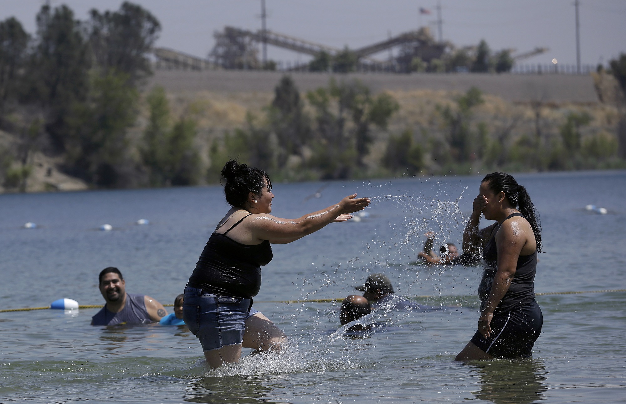
Two women play in the water at Shadow Cliffs Regional Recreation Area in Pleasanton, California, on Aug. 17, 2015. (Jeff Chiu/AP Photo)

Forecasters expect temperatures to peak on Friday, with interior valleys reaching the mid-90s to 106 degrees. It’s expected to reach 99 degrees in Concord and Livermore, and places like Cloverdale and Healdsburg could experience triple-digit heat.

“We’re forecasting it to be the hottest event of the year currently, but if anything, we’ll likely be issuing advisories for the interior areas either later today or during the overnight shift,” Gass said.

It will remain hot on Saturday with highs in the middle to upper 90s. Gass said the warm temperatures will also bring elevated fire weather concerns on Friday into Saturday, as daytime relative humidity will be in the low teens and only slightly rise overnight above 2,000 feet.

“Across the warmest areas, we urge people to take breaks during the hottest time of the day, make sure you have access to shady locations, and never leave pets or children in a car unattended,” Gass said.

If the marine layer compresses enough, Gass said San Francisco could also warm up. The service’s forecast discussion suggests that “a lack of stronger offshore flow will keep coastal areas in check. However, they`ll still be warm, but not in an impactful way with max temps in the upper 60s to mid-80s.”

“If the marine layer doesn’t keep us cool, we could see moderate risk extend into the city, but we’re still evaluating that,” Gass said.

Daniel Swain, a climate scientist with UC Agriculture and Natural Resources and UCLA, said the warm-up might be a preview of what could be a very hot summer statewide.

“The last couple of days in May and the first couple of days in June look particularly hot, including in Northern California and the Bay Area, than they have so far this season,” Swain said during his semi-regular YouTube office hours on Friday. “The rest of California and the West and Southwest will be quite toasty as well.”

Swain said a hot summer, if it materializes, would exacerbate drought conditions across much of the state.

“The West is mostly in drought,” he said.”Most of these droughts are going to get worse before they get better.”

Forecasters are also paying attention to late next week when a low-pressure system, if it sets up, could bring isolated showers to the Sierra Nevada and Bay Area.

“This kind of scenario could produce some lightning or even the potential for an isolated dry or thunderstorm or two if it were to come to fruition,” Swain said.

lower waypoint
next waypoint