Ten years ago this week, a massive earthquake in the Indian Ocean off Sumatra triggered a tsunami that killed more than 230,000 people in Indonesia, Sri Lanka, Thailand and other countries.
Six years later, another huge quake - with a magnitude 9.0, the fourth largest in the world since 1900 - erupted off the east coast of Japan. It caused another devastating tsunami that generated waves rising to more than 100 feet tall. Buildings and homes were toppled and hundreds of thousands of people were evacuated as the flooding water caused a meltdown at the Fukushima nuclear power plant.
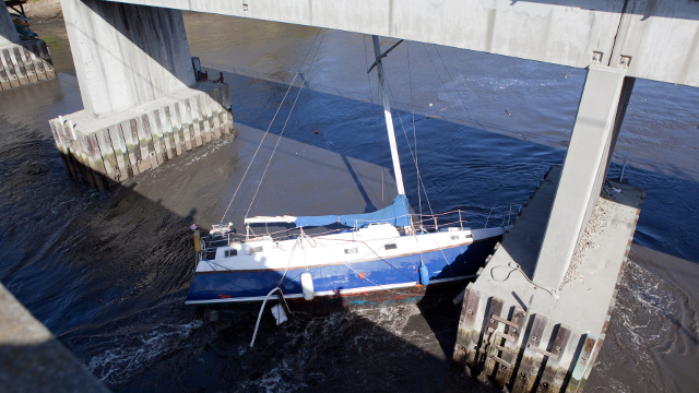
More than 16,000 people died in that disaster. And the effects were felt as far away as California and Oregon, where surging waves caused an estimated $50 million in damage to six coastal California counties, including Santa Cruz, where docks were smashed and boats that were pried loose from their moorings were wrecked.
The two tragedies ratcheted up the pressure to shore up California’s tsunami preparedness and response efforts. The California Geological Survey and the California Office of Emergency Services, along with federal assistance from FEMA and NOAA, began creating “playbooks” for California coastal communities, such as Alameda, that are vulnerable to tsunamis. The playbooks model the strength of the currents and the amount of flooding possible from mild, moderate and severe tsunamis, which would help coastal communities update evacuation plans and minimize the damage to harbors and boats.
In addition, there are now more than 6,000 tsunami hazard signs posted along the California coast help direct residents to higher ground in the event of this potentially deadly natural disaster.
