In February 1970, in a special message to Congress, President Nixon served notice that American corporations had laid waste to the country’s land, air and water resources long enough. “We in this century have too casually and too long abused our natural environment. The time has come when we can wait no longer to repair the damage already done.”
Before the year was out, Congress authorized the Environmental Protection Agency to establish and enforce standards to protect the environment. Forty-three years later, it’s hard to think of a place where that mission has failed more miserably than Louisiana’s Cancer Alley.
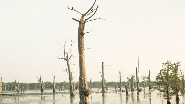
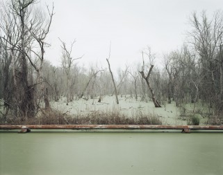
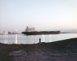
For the 85 miles between Baton Rouge and New Orleans, the haunting swamplands of the Mississippi River corridor—called America’s wetland for its biological value to the nation—bump up against the sprawling refineries and paraphernalia of the petrochemical industry. Industry leaders call this stretch of the Mississippi, sandwiched between 150-plus oil and gas plants on both sides of its devastated banks, Chemical Corridor. But locals—who blame the millions of pounds of toxic chemicals pouring out of industry smokestacks every year for high rates of miscarriages, cancer, respiratory ailments and other serious diseases—have another name for it. They call it Cancer Alley.
In 1998, Richard Misrach went to Cancer Alley to produce a series of photographs for an exhibition commissioned by Atlanta’s High Museum called “Picturing the South.” Misrach, known for penetrating portraits of human disturbances of the natural landscape, returned last year at the High Museum’s request. The museum displayed his new photos alongside the old series last year.

Now you can see what’s changed—or not—in “Revisiting the South: Richard Misrach’s Cancer Alley” at Stanford University’s Cantor Arts Center.
