
The rainy, dynamic terrain of the northern Coast Range features many rivers, but very few natural lakes. Any basins that may form by tectonic activity have short lives. Either they fill up with sediment, or rivers erode into them and they drain dry.
Clear Lake, by far the largest lake in the Coast Range, has sediments in it dating back some half a million years. The lake's basin never seems to fill with mud, although Clear Lake has always been shallow. Apparently something builds up the basin's sides whenever the lake outlet threatens to cut downward far enough to drain the lake dry. In recent geologic time, Clear Lake has drained eastward and westward at different times as one exit or the other has been plugged. You can visit both exits and glimpse the geologic evidence yourself.
Today Clear Lake drains east to the Central Valley down Cache Creek through a rugged canyon with high, steep walls. But biologists tell us that the fish of Clear Lake come from both the Russian River and the Central Valley. Without that clue, we might not make much of the straight little valley northwest of Clear Lake, just a few meters above the present lake level. Created by slow faulting, the valley holds some bits of water called Blue Lakes. What could have made Clear Lake drain in this direction?
The east side of Clear Lake is full of young volcanoes ranging in size from Mount Konocti down to a dozen little cones a few tens of thousands of years old. With that in mind it's easy to picture a large lava flow, or the emergence of a small cone, blocking Cache Creek and causing the lake to rise until it spilled through the valley of Blue Lakes to the Russian River.
You can drive up state route 20 from the north side of Clear Lake into this valley, and it's easy to picture it holding a river. Then the road hits a large bump, a hill right in the middle of the valley, and that seems to be the end of the line. But geologic mapping has shown that this is an ancient landslide.

A look at the topography here is instructive, and Google Maps' "terrain" setting is an excellent way to do that. The photo above was taken from the middle "20" symbol and the hill is marked with an asterisk.

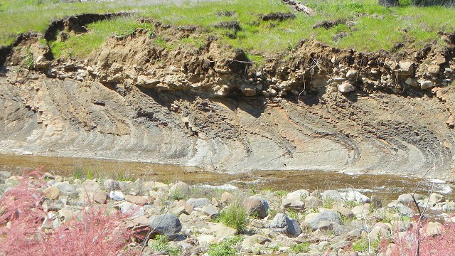
Notice how well-organized the stream drainages are leading down to the lakes. Each of the larger streams has built out a delta of sediment. But west of the lakes is an area of poorly organized, hummocky terrain that closely resembles the body of a landslide. It appears to me that the landslide nearest to Blue Lakes is the smallest and possibly the latest of a whole series.
