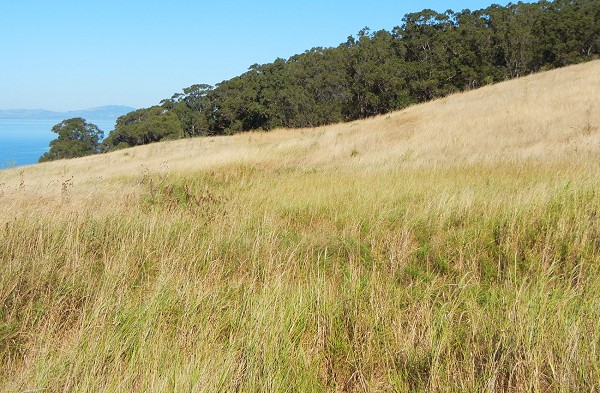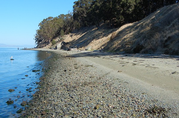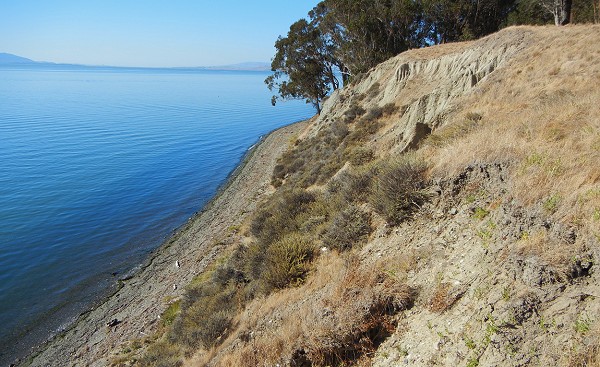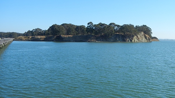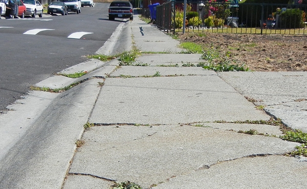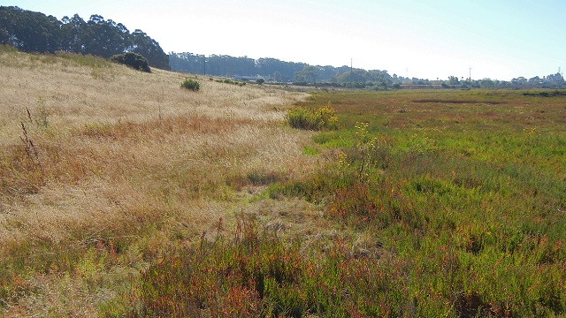
The Hayward fault threatens a lot of people and structures as it runs straight through the East Bay. But at its northern end, at Point Pinole Regional Shoreline, the fault can be walked and traced across open land with trees and grass. You can imagine the fault's biggest earthquake, a magnitude 7.5 event, doing little more than knocking you on your butt there.
Pinole Point is a gently rolling peninsula that points north-northwest into San Pablo Bay. It's underlain by 10-million-year-old gravelly sandstone of the Orinda Formation, but much more recent changes in sea level have left it draped in Pleistocene sediments, old soils and offshore peat beds. Still more recently the point was the home of an explosives manufacturer from 1881 to 1960. The East Bay Regional Park District bought the land in 1972, and today it's a nice place to stroll, run, ride, fish, picnic and geologize.
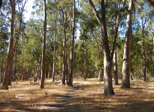
Much of the point is wooded, but the forest is exclusively eucalyptus, planted during the tree's heyday to help muffle the noise of explosives manufacturing and no doubt to provide shade. You can walk off the path easily when your curiosity beckons, and the light is beautiful.
You can see the green woods in this Google Earth view of the point, along with the mapped fault trace. Note that the park is named Point Pinole, but the point itself is Pinole Point.

But let's peek under the trees with the lidar digital elevation model. (I showed you lidar imagery of the San Gregorio fault a couple months ago.)
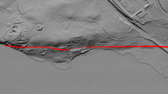
The fault crosses the railroad tracks at the south (right) edge, skirts the edge of the coastal marsh and traverses the west side of the point until it runs offshore into San Pablo Bay. (It's been traced most of the way across the bay, but it dies out as seismic motion steps eastward to the Rodgers Creek fault in the North Bay.) The maps at the park show a different line, which is incorrect.

