Sponsor MessageBecome a KQED sponsor
upper waypoint

Bay Area ‘Stuck’ With Unusually Cold Weather, Thanks to This Naturally Occurring Culprit

Save ArticleSave Article
Failed to save article

Please try again

A Tule Elk is seen during heavy fog at Point Reyes National Seashore of Inverness in California on Jan. 6, 2025. A thick layer of fog from the Central Valley that has settled over much of the Bay Area for weeks will shift east this weekend, potentially followed by showers.  (Tayfun Coskun/Anadolu via Getty Images)

San Francisco might be known for cold summers, but so far, this December has given June gloom a run for its money.

The city — and large parts of the East and North Bays — have been unseasonably chilly for weeks, and even the National Weather Service seems to be getting fed up: “Different day, same weather,” the organization’s Bay Area office wrote in its forecast for Thursday.

In San Francisco, temperatures have lingered in the 50s, about four degrees below December norms, while other parts of the Bay have seen even colder weather than usual.

Sponsored

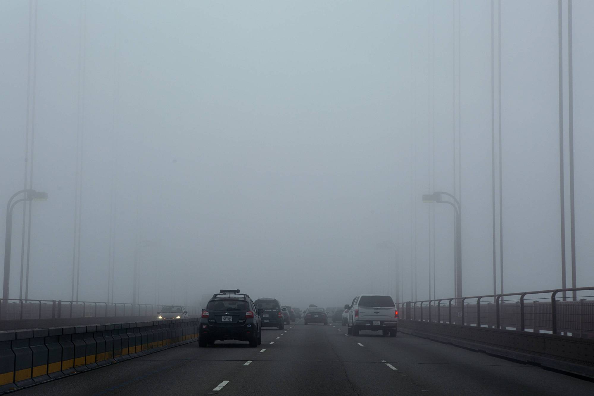
The culprit, according to NWS meteorologist Roger Gass, is a thick layer of fog from the Central Valley that’s been settled over much of the Bay Area for weeks.

Early season storms allowed thick, low tule fog — which often follows significant rainfall, as the ground rapidly cools, emitting heat into space — to form over much of the region, and a pattern of high atmospheric pressure to sweep in above — in effect, locking it in.

Cars cross the Golden Gate Bridge in heavy fog on July 13, 2018. (Anne Wernikoff/KQED)

“It’s leaving a pretty stagnant air mass in place,” Gass said. “We’re basically kind of stuck in this pattern, and we’re going to have to wait until a significant change in the weather pattern,” to get out, he said.

Without the fog in place, temperatures would likely be much warmer, Gass said.

While daily highs in Oakland and parts of Marin have been as low as 45 and 43 degrees, typically foggy Half Moon Bay has been enjoying sunny skies and average highs bordering on 70 degrees.

That’s because offshore winds are blowing fog out to sea along the San Mateo coast, revealing a relatively warm sun, much to the envy of the rest of the Bay. Sunnier skies in San José have also meant slightly higher temperatures.

A similarly oddity is happening between the Central Valley and Sierra Nevada mountains — Sacramento’s high is projected at 46 degrees on Thursday, while South Lake Tahoe could hit 63 degrees.

So, when might the seemingly endless fog finally clear?

Gass said the forecast has been difficult to predict in recent weeks, but the Weather Service is projecting that the current high-pressure system holding fog in place could begin to shift to the east this weekend.

“That potentially could be a significant enough change to actually clear out [the fog],” Gass said.

While that could make way for warmer weather, it won’t necessarily mean clear, sunny skies.

Tule fog will likely continue over the Central Valley, where it’s infamous this time of year.

In the Bay Area, the Weather Service is predicting a chance of rain as soon as Monday, followed by an atmospheric river that could sweep through Northern California late next week.

lower waypoint
next waypoint
Player sponsored by