upper waypoint

Where’s the Rain? After Bay Area’s Dry April, Storms Are Back in the Forecast

Save ArticleSave Article
Failed to save article

Please try again

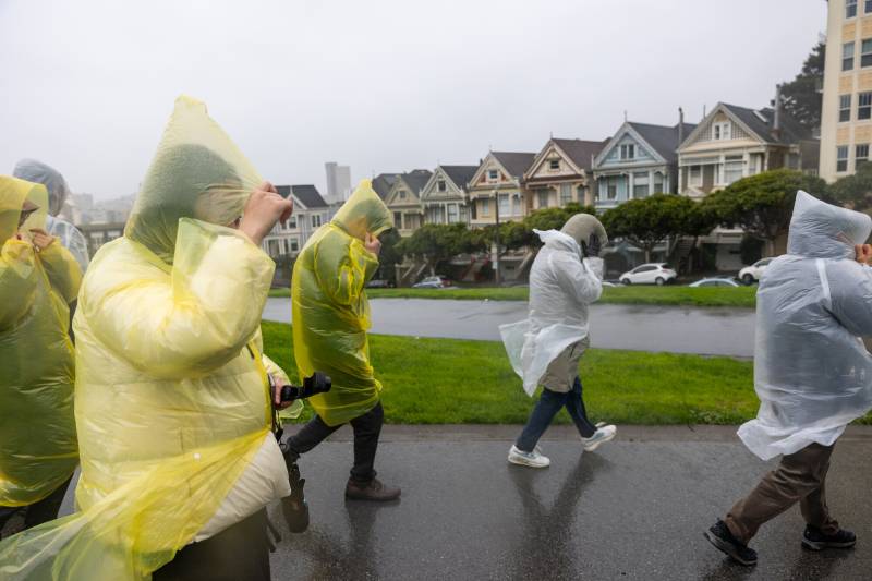
A group of tourists walk through Alamo Square Park during a storm in San Francisco on Feb. 4, 2024. Northern California is forecast to get its first significant rainfall of the month — and last of the season — this weekend. (Beth LaBerge/KQED)

After an unusually dry April, Northern California could get its first significant rainfall of the month — and last of the season — this weekend.

The National Weather Service is forecasting cool temperatures and light showers late this week, after much of the month has teased summertime temperatures.

“This will bring a bit of moisture to the area,” said Rachel Kennedy, a meteorologist with the weather service’s Bay Area office. “Not a whole lot of rain, but a little bit of rain as we’re starting to move into the end of our rainy season.”

Sponsored

The Bay Area has seen only three days of rainfall, totaling less than half an inch, in most places so far this month. Rainfall on Friday and Saturday could add up to a quarter-inch to April’s total, especially around the Santa Lucia and Santa Cruz mountains in the South Bay, Kennedy said.

Temperatures will start to slide down to the mid-60s inland and the high 50s closer to the coast on Tuesday, thanks to low cloud cover developing over Point Reyes and moving south through the Bay Area.

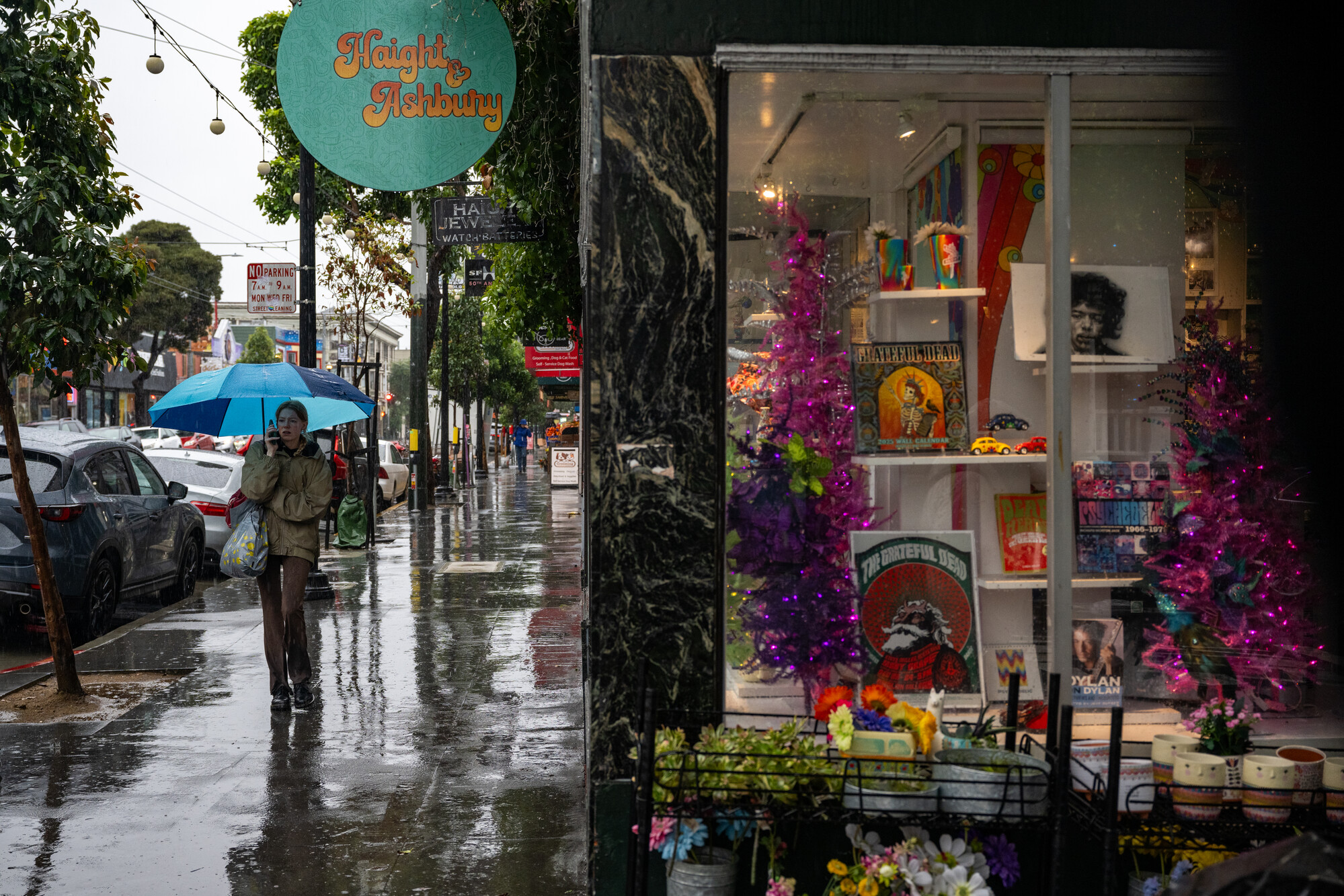
A person walks on Haight Street in the rain in San Francisco on Nov. 22, 2024, during a storm bringing heavy rain and strong winds to the Bay Area. (Beth LaBerge/KQED)

On Friday, chances for rain begin, with the weather service forecasting about a 45% likelihood of precipitation. Beginning Friday evening and extending through the end of rainfall on Saturday, there will be slim chances for thunderstorms.

After a dreary weekend, the clouds could part on the Bay Area’s rainy season for good, according to Kennedy, who said the region is headed for a big shift in the weather pattern at the start of next week.

“If this isn’t our full-on last hurrah, it’s going to be one of the last ones,” Kennedy said. “We may see a storm or two in early May, but we are not currently expecting that.”

The weather service expects a prolonged ridge to develop over the West Coast next Monday and Tuesday and extend through much of May, reducing the chance of any more rainfall this spring, Kennedy said.

The relatively dry April topped off a mixed bag of a rainy season across the region, she said.

“We were in a La Niña winter, and in a La Niña winter, we do tend to see a very north and south split between areas that are above normal precipitation and areas that are below,” she said. “That’s pretty well represented in our area since we fall pretty much on the border of that split.”

The North Bay saw rainfall totals up to 130% of their annual average, while San Francisco and the East Bay fell slightly short of their typical amounts. Some outliers in the South Bay hills, including the Santa Lucias and Santa Cruz mountains, got significant rainfall, but Kennedy said there’s a drop-off moving south into inland Monterey and San Benito counties.

“Our precipitation totals are much, much lower. We have sites that are 43% of normal, 50%, 57%,” she told KQED.

With the return of summer weather comes an increased risk, since California’s traditional fire season is around the corner.

“The long-term forecasts in the Climate Prediction Center do show us trending warmer and then drier throughout our summer months, which generally is just something that we’re a little concerned with and keeping an eye on for fire season,” Kennedy said. “Especially in those areas in the interior of the Central Coast, which did not see a lot of rain this winter.”
lower waypoint
next waypoint