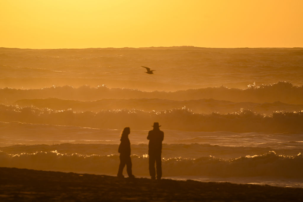
“If you’re visiting the beaches at this time, you’re not just putting yourself at risk, you’re putting the people that have to come rescue you if anything goes wrong at risk,” said Brayden Murdock, a meteorologist with the weather service’s Bay Area office. “There’s a lot of danger in these waves.”
The surf will be less significant than what was seen over the weekend but still elevated, Murdock said, with waves in the 20- to 30-foot range “well observed” over the next few days.
The earlier round of massive swells brought “a lot of 30- to 40-foot breaking waves with some higher breakers getting up to 60,” Murdock said. Those waves were blamed for the death of a man on the Monterey Bay coast, who was pulled out from under debris that was washed up by a large wave at Sunset State Beach in Watsonville on Monday morning. He was taken to a hospital, where he died.
On Monday afternoon, a 150-foot section of the end of the Santa Cruz Wharf collapsed into the ocean, sending public restrooms, a closed restaurant and three people into the water. Two were rescued and the third swam to shore.
It’s a reminder that even on piers, jetties and higher areas, strong waves can be a major risk. With longer periods between waves, they have the opportunity to compound and create even higher waves, called “sneaker waves,” Murdock said.
“As we start to see some of these compounding sneaker waves, it makes the reach of the wave itself much longer up the shore. … So we can’t recommend much in the way of fishing or even taking the pets along the beach if they are still what they think is far away from the water. It could still sneak up on here,” Murdock said. “And unfortunately, again, earlier in the week, we had a lot of people out trying to take pictures and see the higher surf coming through. And unfortunately for some, that wound up being too big of a risk.”
The swell is expected to build throughout the day Thursday. Officials warned that even though wave heights shrink as the waves approach shore, they still pose a significant risk.
“All that energy is retained. So even though we’re not seeing exactly 20- to 30-foot [waves] along the beach itself, you’re still getting all that energy from those higher waves hitting all of these areas,” Murdock said. “So that’s why we’re really concerned about some of the coastlines as we continue into the weekend, because this is going to last for a long time and these waves are going to be dangerous.”
In addition to the high surf, a storm will bring winds, clouds and light rain to the Bay Area over the next few days. That will lower visibility along the coast, making water rescues more difficult, Murdock said.
KQED’s Maria Fernanda Bernal contributed to this report.