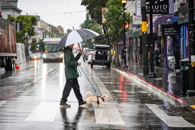
A flood watch is in effect from 2 p.m. Friday through Saturday afternoon for the North Bay. Three Sonoma County waterways could flood: Laguna de Santa Rosa, the Russian River and Mark West Creek.
“If a thunderstorm or really heavy showers were to develop, that poses a risk for flooding,” Sarment said.
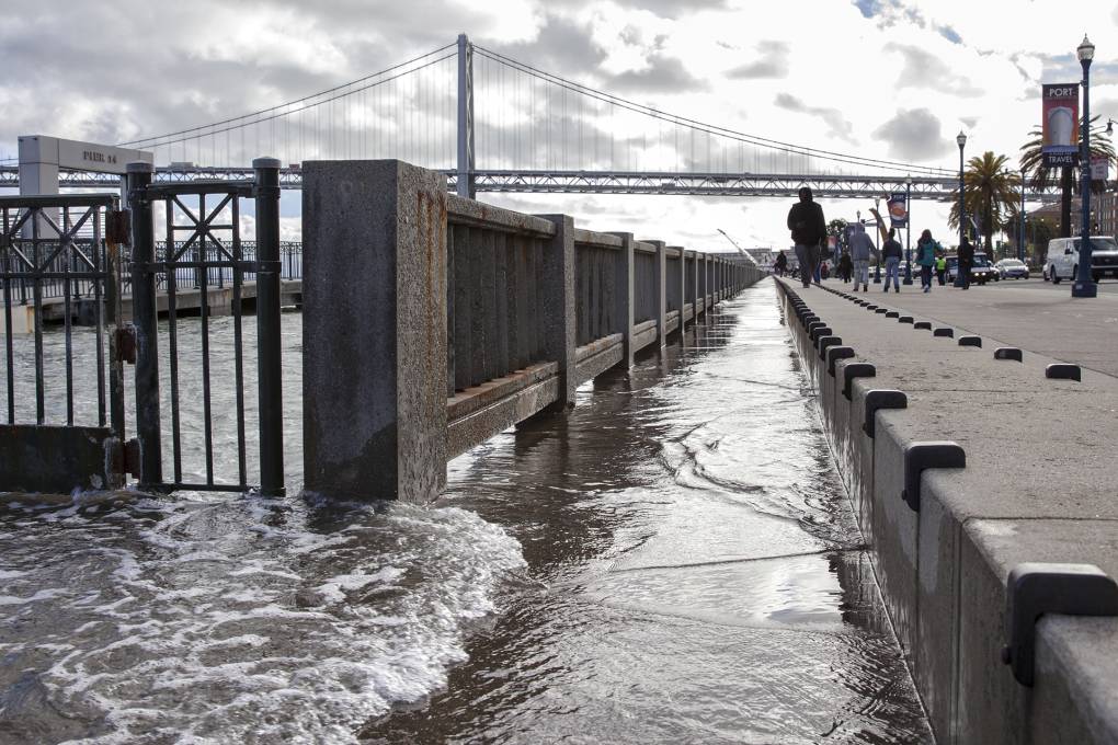
King tides — caused by a stronger than normal gravitational pull when the sun, moon and Earth align — could push water up the coast and bayshore with high-tide levels between 5 and 12 feet through Monday. On top of the higher tides, the weather service has issued a high surf advisory from 1 p.m. Thursday through 4 p.m. Saturday with large breaking waves on the order of 18 to 22 feet.
“Because the tide overall is going to be higher, those bigger waves will be able to run up the beach farther,” Sarment said. “Overall, it’s not going to be a good weekend to go out and about.”
The higher tides increase flooding risk in places like San Francisco’s Embarcadero and the Mill Valley–Sausalito Bike Path in Marin County. The highest tides could reach nearly 12 feet on Saturday north of San José’s bayshore community of Alviso, according to the California King Tides Project.
The California Coastal Commission asks the public to submit photos of waves and rising groundwater during this weekend’s king tides. The images will be used by climate scientists and government officials “to validate sea level rise models and assess local vulnerabilities to erosion and flooding,” the commission wrote in a press release.
Conditions will improve on Sunday before a third round of rain moves through the Bay Area on Monday, but Sarment said impacts from next week’s system look minor so far.
There is some good news for the not-so-distant future: After next week’s storm, she said, the region will “have better weather” just in time for the Christmas holiday.


