
Indigenous nations across the U.S. have lost nearly 99% of their historical land base over time. And it’s not just the quantity of land that matters, but the quality, too: Tribes were displaced to areas that are now more exposed to a wide variety of climate change risks.
Those are among the key findings of a multiyear study published last week in the journal “Science.” Researchers at Yale University, Colorado State University and the University of Michigan constructed a first-of-its-kind data set to quantify the history of land dispossession and forced migration in the U.S., and examine its long-term environmental and economic impacts.
As a result of the near-total loss of their tribal lands, the researchers say, Indigenous people are forced to live in areas that are, on average, more exposed to climate change hazards like extreme heat and decreased precipitation. Those lands are also less likely to lie over valuable subsurface oil and gas resources.
“When we think about how to address climate change, we sometimes forget that past U.S. policies and actions have led to conditions in which some groups are burdened more by climate change than others,” said Justin Farrell, a professor at the Yale School of the Environment and the study’s lead author.
“And so when we’re talking about Native land dispossession [and] forced migration, in the American narrative at least, it’s this story of past harm done … There’s less attention to, how is this an ongoing story about current climate risk? How is this an ongoing story about future climate risk?” he said.
Many tribes are facing more extreme environmental conditions
We know that European and American settlers forced Indigenous people off their lands and that colonialism laid the groundwork for systemic inequalities that persist to this day.
But experts have not previously been able to fully quantify the extent of that displacement, or measure how contemporary Indigenous lands compare to those that they lost in terms of environmental conditions and economic potential.
The study offers one of the most complete accountings of that history, and presents a stark illustration of how, more than two centuries later, the legacy of displacement has compounded the challenges faced by Indigenous groups as they confront the growing threat posed by climate change.
Indigenous nations in the U.S. have lost 98.9% of their historical land base since Europeans began colonizing the continent, the researchers found.
More than 42% of tribes from the historical period now have no federally or state-recognized land, and the present-day lands that tribes do possess are an average of 2.6% the size of their estimated historical area.
Present-day lands are also generally far from historical lands, averaging a distance of roughly 150 miles.
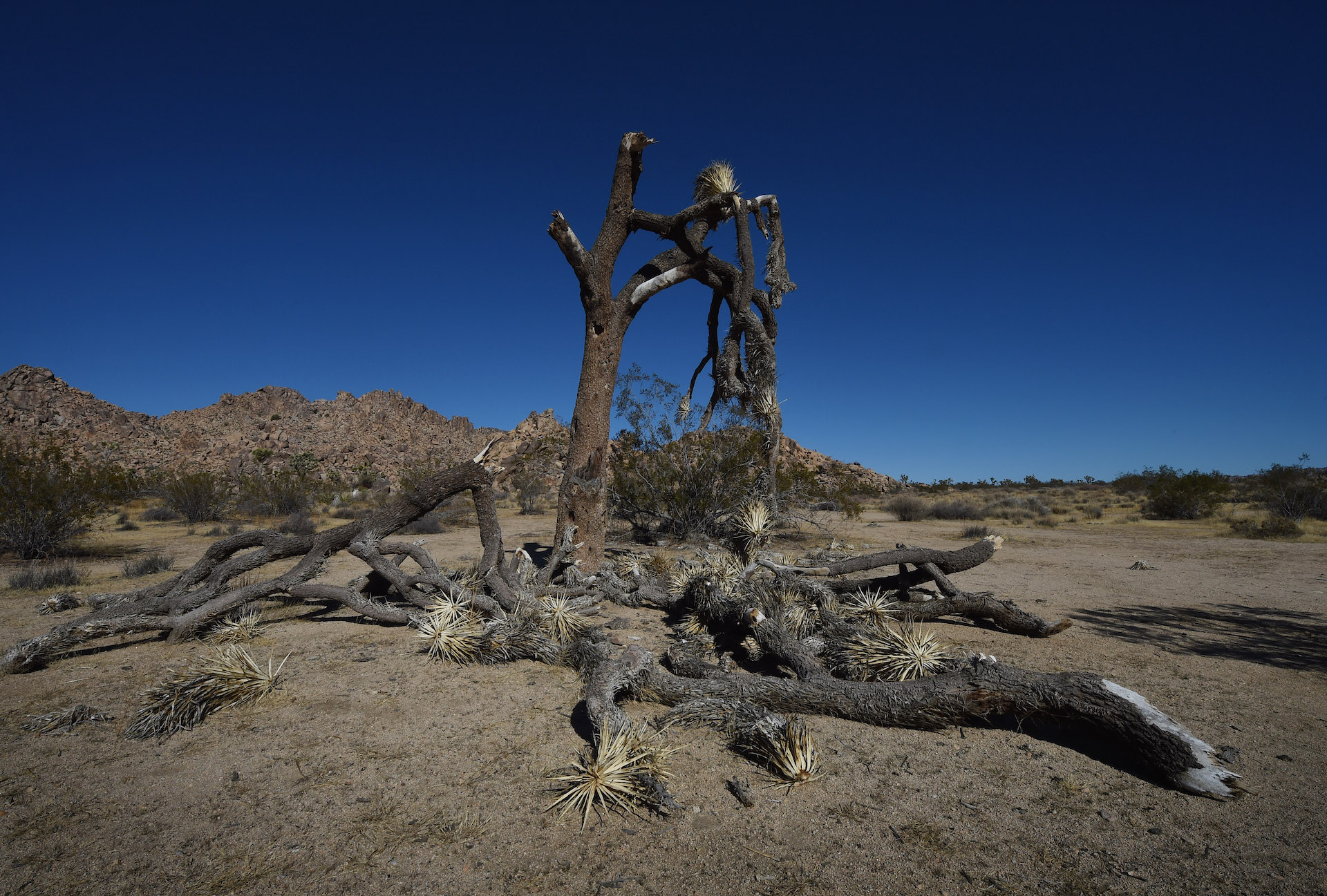
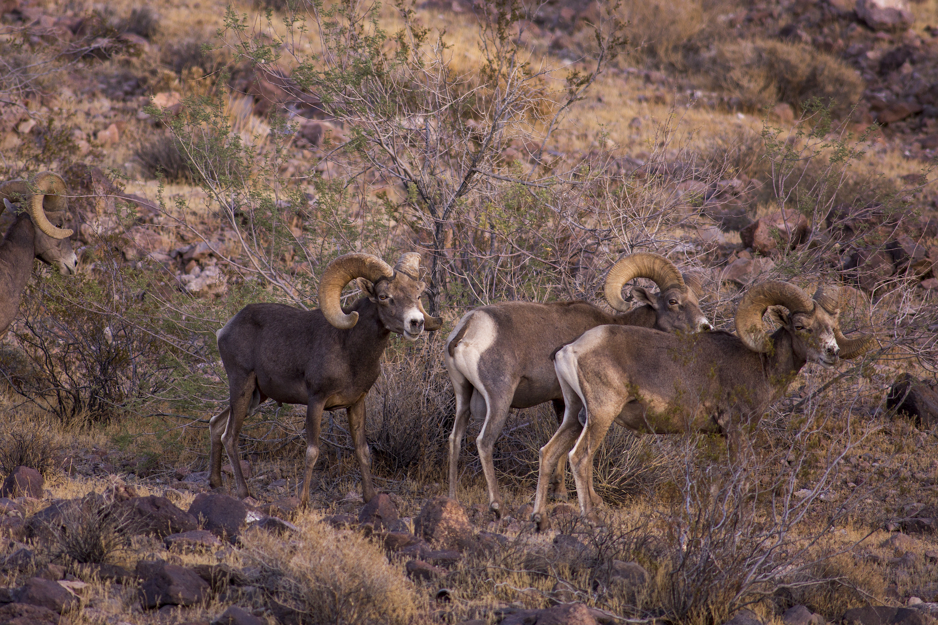
In terms of climate change, the analysis found that tribes’ current lands face more extreme heat and less precipitation. The Fort Mojave Indian Tribe (along the Colorado River), for example, experiences an average 62 more days of extreme heat per year than it did on its historical lands. Nearly half of tribes experience heightened wildfire hazard exposure.
The study also found that Native lands are less likely to include economically valuable oil and gas resources. And about half of tribes saw an increase in their proximity to federal lands, leaving them limited in how they can manage and use the land.
Researchers say this isn’t necessarily a coincidence
When it comes to the climate change vulnerabilities of today, Kyle Whyte, one of the study’s co-authors, said many people mistakenly perceive the situation as one of tribes being in the wrong place at the wrong time. But it’s no accident, he said.
“The reason why tribal nations are located in the places they are is because the U.S. tried to remove them and get them out of the way, so that the U.S. could build this massive industrial economy, that we now know contributes to increased concentrations of increased greenhouse gasses in the atmosphere,” he said.
Farrell said there was no knowledge of rising temperatures at the time, but that colonizers’ economic interests motivated them to push tribes to areas they viewed as “less important” to the building of a nation.
The study was seven years in the making
To arrive at their findings, the researchers examined everything from Indigenous nations’ archives and territory maps to federal records and digitized treaties. This data is now publicly available in the Native Land Information System.
They classified each tribe’s land base data within the historical and present-day periods, then turned to statistical models to answer their driving questions: What was the full extent of land dispossession and forced migration for tribes, and did their new lands offer improved or reduced environmental conditions and economic opportunities over time?
The project took seven years, and meant having to navigate myriad methodological and ethical challenges.
For example, Farrell said that accurately representing the ways in which Indigenous nations see their relationship with land meant resisting the more traditional academic approach of imposing strict boundary lines on tribes (and instead allowing for the fact that multiple tribes may occupy the same land). He also noted that most of their historical sources came from colonizer records.
“That’s a limitation in the study, and why we see this collection as more of a start than a finish,” Farrell explained.
Whyte, a professor at the University of Michigan and an enrolled member of the Citizen Potawatomi Nation, also noted that the number of Native American professors is relatively small, and that few non-Native scholars are interested — or qualified — in documenting complex situations of land dispossession.
The authors want the public’s help in painting a fuller picture
After nearly a decade of work on the project, the researchers are now making their data public in the hopes that other scholars and members of Indigenous nations will review and improve upon their findings to provide an even more specific picture.
They say that information is crucial for establishing policies aimed at mitigating future impacts of climate change, as well as remediating the land dispossession that caused these vulnerabilities in the first place.
For his part, Whyte said that the tools and data sets that the federal government has historically used to assess environmental justice issues facing Indigenous people have been lacking.
He thinks this new data offers tribes an important tool in being able to articulate the land loss issues that they face and argue for greater support for tribal sovereignty and the capacity to manage their own lands — including so that they can deal with the effects of climate change.
Specifically, he said, it could help identify the tribal communities that would benefit from a Biden administration pledge to deliver at least 40% of the overall benefits from federal investments in climate and clean energy to marginalized communities.
The data also holds important takeaways for those outside the Indigenous community and federal government.
Whyte, who serves as a member of the White House Environmental Justice Advisory Council, encouraged the general public to advocate for the importance of the federal government engaging in “nation-to-nation consultation with tribes,” noting that voters don’t typically evaluate politicians based on their track records for working with tribes.
“Our study shows that the U.S. needs to strengthen its consultative work with tribes to figure out — for each tribe — how to deal with the effects of land dispossession, how to engage in landback and how to promote self-governance and sovereignty of Native people,” he said. “Readers need to hold the government accountable for that whether they live in Indian country or not.”
9(MDAxOTAwOTE4MDEyMTkxMDAzNjczZDljZA004))