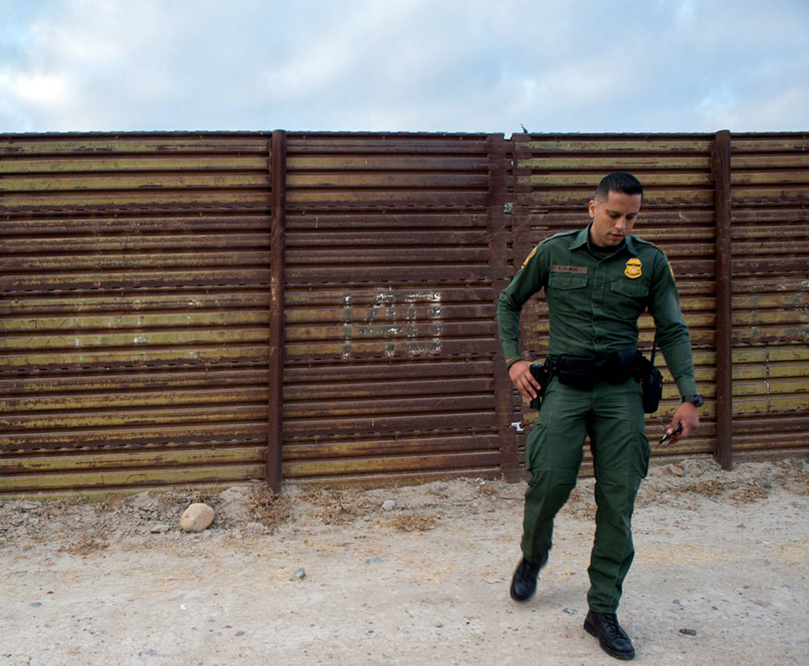
The goal of building walls and fences at the U.S.-Mexico border has always been to curtail illegal immigration and drug trafficking. So, has the wall done its job? Will a new one do it better?
This border wall that stretches from California through Texas has been covered exhaustively by media the world over. But in this story of America’s wall, a collaboration of KPBS and inewsource, we were able to demonstrate with data what has previously been shown only through approximations and anecdotes: the impact of the wall over time.
Using newly disclosed details obtained from Customs and Border Protection, we created an interactive map showing every piece of existing fencing and when it was built. By layering that with more data, we connected the dots to show how construction of America’s wall is intertwined with the ongoing story of illegal immigration.
The mapping data shows America’s wall stretches for 653 discontinuous miles along the 1,954-mile U.S.-Mexico border. The strength of that wall varies. Some 37 miles of the main wall are backed up by a secondary fence. The most heavily fortified states are California, Arizona and New Mexico. In Texas, hundreds of miles separate sections of fencing.
Our most conspicuous finding is a pattern we identified in the history of America’s wall: As it became stronger and longer, illegal cross-border flows of people plummeted wherever the barriers were built. But they didn’t stop. Instead, migrants and drug smugglers took different paths -- into the desert, into the ocean, into the sky and underground.
To read the full special report, go to KPBS or inewsource.