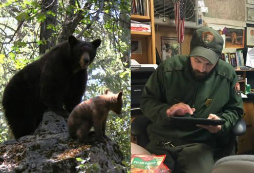
Rangers at Yosemite National Park on Monday unveiled a unique tool aimed at reducing interactions between its population of black bears and people: a website where fans of the animals can follow their every step -- from a distance.
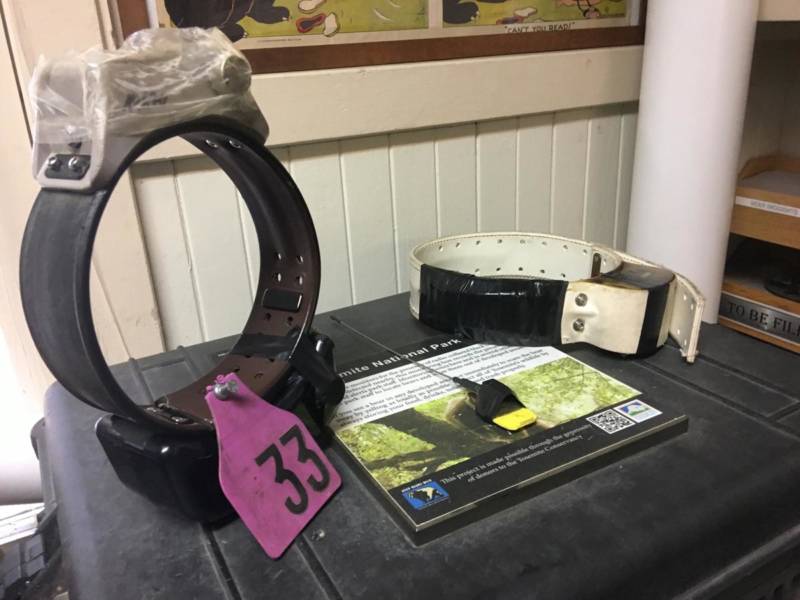
That’s possible because select bears are fitted with GPS collars showing where the animals are heading. The tracking tool pings the bears' steps from satellites, which can be followed on an interactive map on a new website, keepbearswild.org.
"I think people are going to be blown away," said Ryan Leahy, a wildlife biologist at Yosemite National Park who leads the project. "It's our responsibility to keep bears wild."
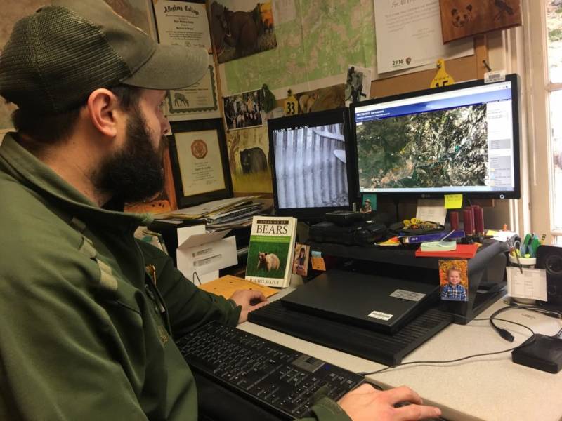
Park staff had already been using up to 20 collars on the bears, coming up with some surprising findings: They learned that the animals begin mating in May, more than a month earlier than previously thought, rangers said. And, the devices revealed that the bears travel more than 30 miles in a day or two, moving with ease up 5,000-foot canyon walls, Leahy said.
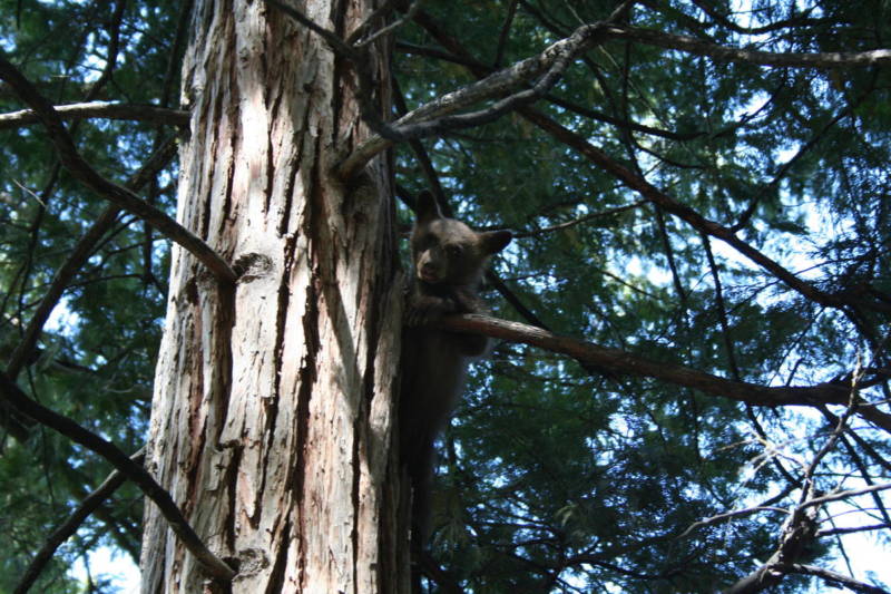
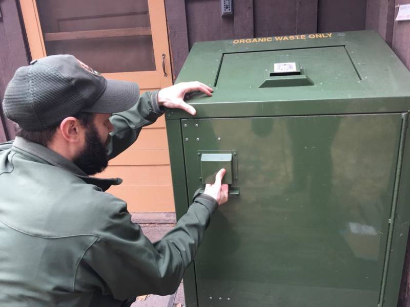
The goal of the website is to draw in the public so they know to slow down while driving and properly store food when they visit the park's towering granite cliffs, charging waterfalls and abundant wildlife, including up to 500 black bears.
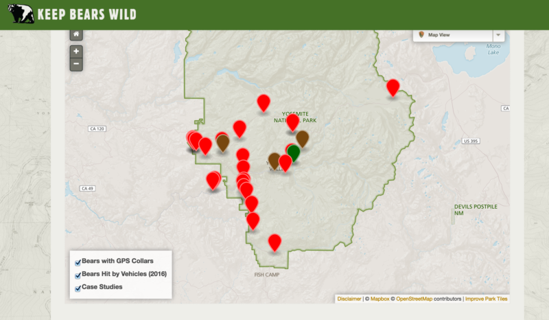
Too often, black bears — many of which are actually brown in Yosemite — are hit and killed by drivers on Yosemite's winding roads. The website shows where 28 bears were struck by cars last year, many fatally.
