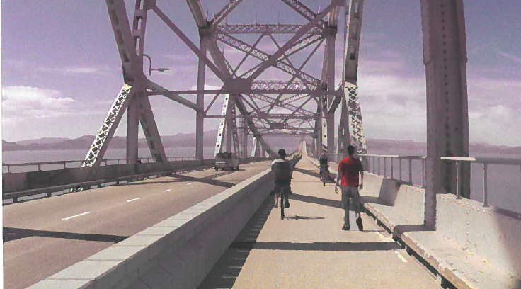
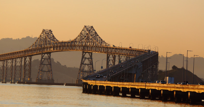
By 2017, if all goes according to plan, people will be able to bike and walk across the upper deck of the 5.5-mile Richmond-San Rafael Bridge, an idea that bike advocates have been pushing for nearly 40 years.
"It's exciting to finally see this project moving forward," says Renee Rivera, executive director of Bike East Bay. "There will be so many new opportunities that open up by having bicycle and pedestrian access to the bridge."
A Bay Area Toll Authority committee Wednesday approved $4.6 million for a contractor, HNTB Corp., to draw up a final design, which includes converting a shoulder into a third vehicle lane on the lower deck to ease congestion and delays for eastbound drivers.
The new path will fill a major gap in the Bay Trail, a 330-mile network of bicycle and pedestrian paths that will some day grow to 500 miles, and wrap around the entire bay, across all eight bridges.
Five bridges are currently accessible by bike and foot, although the Bay Bridge path currently stops before Yerba Buena Island. Officials at the Metropolitan Transportation Commission are studying building a path across the western span to San Francisco, but say it's still many years away.

Rivera says bike advocates first proposed the Richmond-San Rafael Bridge path in 1978, when state officials stopped using pipes in the shoulder to carry water across during a drought. Resistance from Caltrans kept it from moving forward until a year ago, when the agency adopted new road guidelines.

