Post by Kristofor Husted, The Salt at NPR Food (4/23/13)
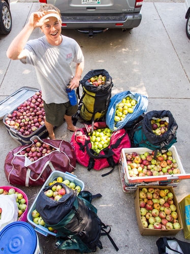
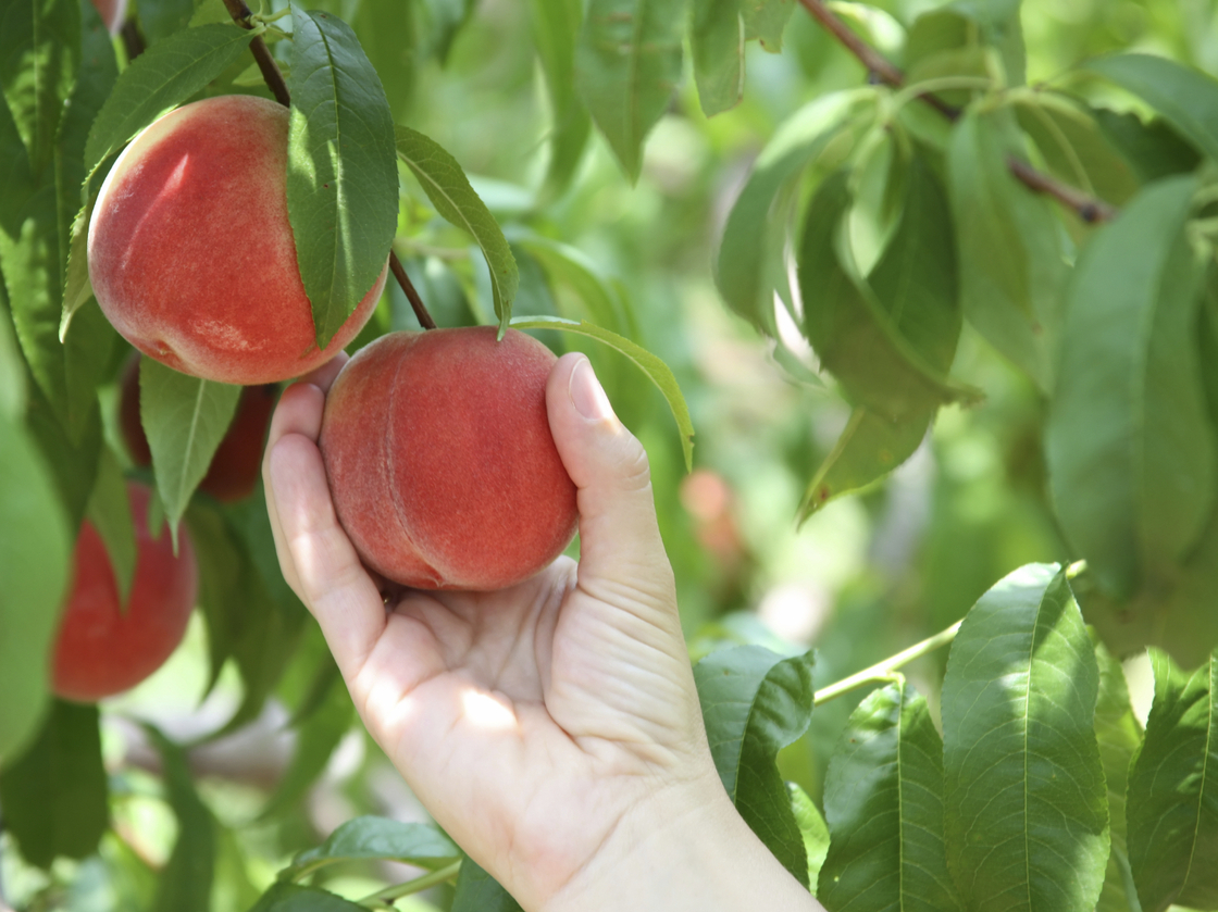
If you really love your peaches and want to shake a tree, there's a map to help you find one. That goes for veggies, nuts, berries and hundreds of other edible plant species, too.
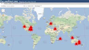
Avid foragers Caleb Philips and Ethan Welty launched an interactive map last month that identifies more than a half-million locations across the globe where fruits and veggies are free for the taking. The project, dubbed "Falling Fruit," pinpoints all sorts of tasty trees in public parks, lining city streets and even hanging over fences from the U.K. to New Zealand.
The map looks like a typical Google map. Foraging locations are pinned with dots. Zoom in and click on one, and up pops a box with a description of what tree or bush you can find there. The description often includes information on the best season to pluck the produce, the quality and yield of the plant, a link to the species profile on the U.S. Department of Agriculture's website, and any additional advice on accessing the spot.
Welty, a photographer and geographer based in Boulder, Colo., compiled most of the locations from various municipal databases, local foraging organizations and urban gardening groups. Additionally, the map is open for public editing – Wikipedia-style.